Arkansas State Highways: Explore the Scenic Routes
There are a total of 16,000 miles of Arkansas State Highways, which are maintained by the Arkansas Department of Transportation (ARDOT). The state does not use a numbering convention, but generally the two-digit odd numbered highways run north–south with a few exceptions; and even-numbered two-digit state highways run east–west with a few exceptions.
Some of the most important state highways in Arkansas include:
- Interstate 30: This major interstate highway runs east–west across the state, connecting Little Rock and Texarkana.
- Interstate 40: This major interstate highway runs north–south across the state, connecting Memphis, Little Rock, and Fort Smith.
- U.S. Route 65: This major U.S. highway runs north–south across the eastern portion of the state, connecting Lake Village, Pine Bluff, Little Rock, Conway, and Harrison.
- U.S. Route 71: This major U.S. highway runs north-south across the western portion of the state, connecting Texarkana, Fort Smith, and Fayetteville
In recent years, Arkansas has made significant progress in improving its highway system. The state has received high marks for its efforts to improve safety and reduce congestion. However, there is still more work to be done.
Here are some additional facts about Arkansas state highways:
- The first state highway in Arkansas was built in 1914 (Dollarway Road).
- The longest state highway in Arkansas is Arkansas Highway 7, which is 296 miles long.
- The shortest state highway in Arkansas is Arkansas Highway 369, which is 0.196 miles long.
- The most traveled state highway in Arkansas is Interstate 30, which carries an average of 100,000 vehicles per day.
- The least traveled state highway in Arkansas is Arkansas Highway 113, which carries an average of 1,000 vehicles per day.
Complete Arkansas State Highways
Complete highways in at least on direction — sometimes both.


 Arkansas Highway 287: Greenbrier to Holland
 Arkansas Highway 25: Wooster to Greenbrier
 Arkansas Highway 319: Conway
 Arkansas Highway 60: Fourche Junction to Perryville
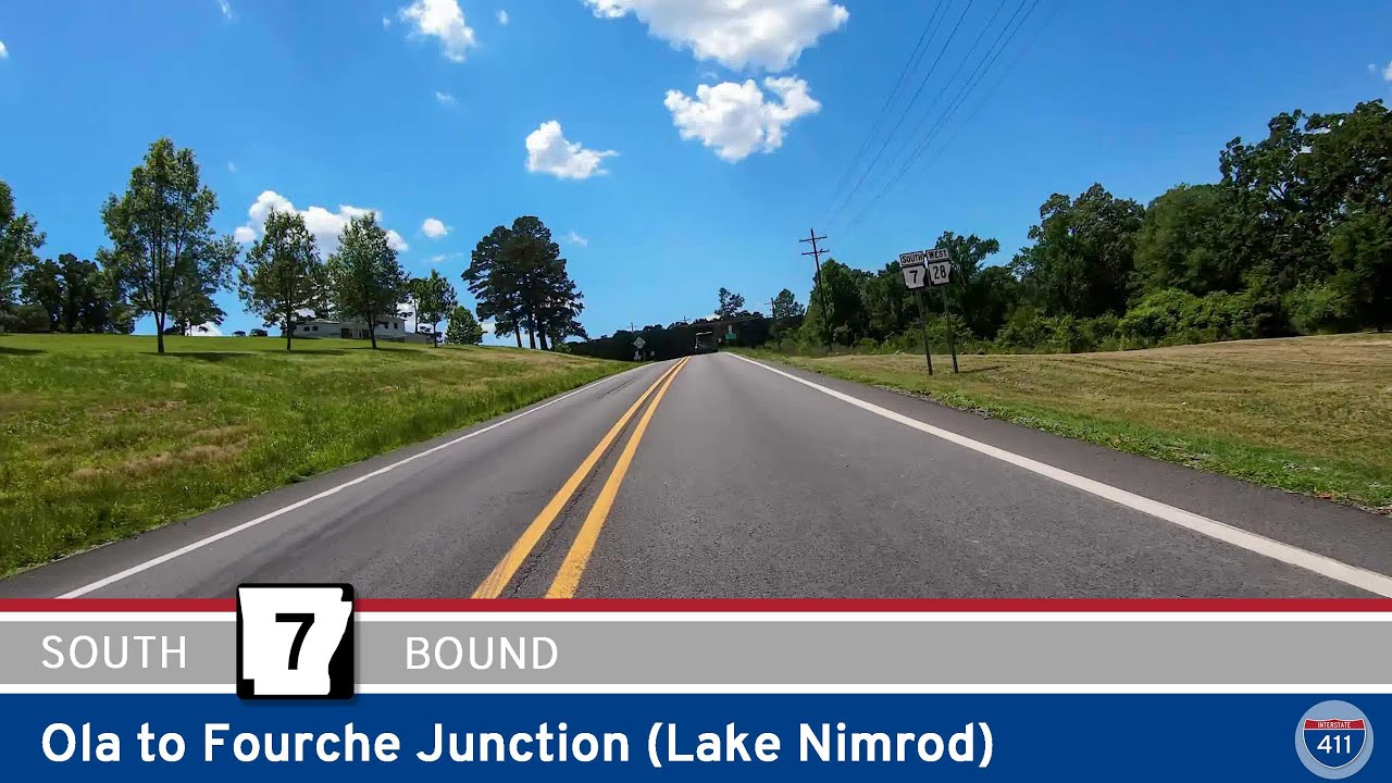 Arkansas Highway 7: Ola to Fourche Junction
 Arkansas Highway 155: Petit Jean State Park to Casa
 [Revisited] Arkansas Highway 154: Oppelo to Petit Jean State Park
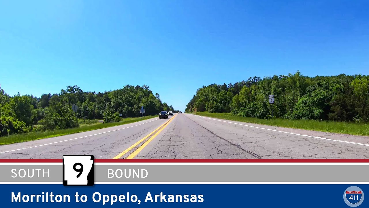 [Revisited] Arkansas Highway 9: Morrilton to Oppelo
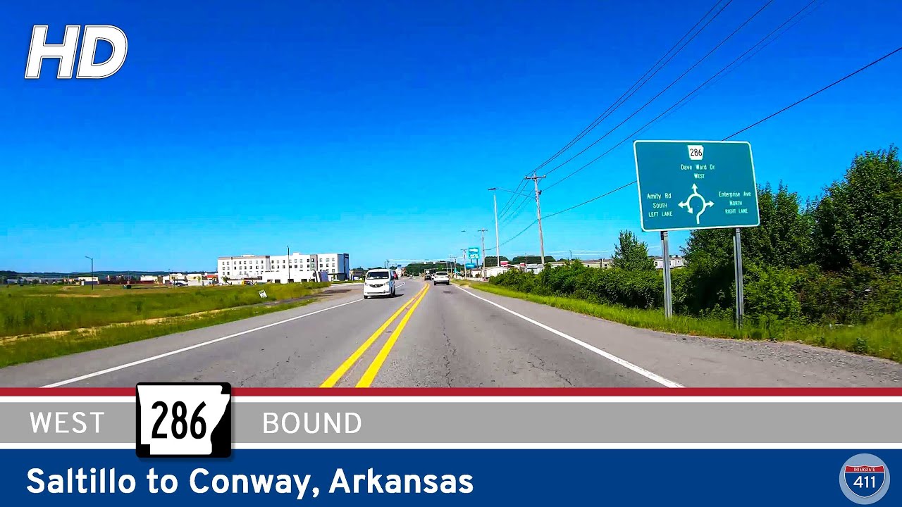 Arkansas Highway 286: Saltillo to Conway
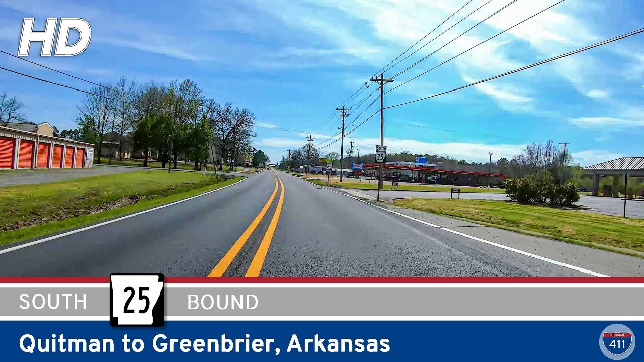 Arkansas Highway 25: Quitman to Greenbrier
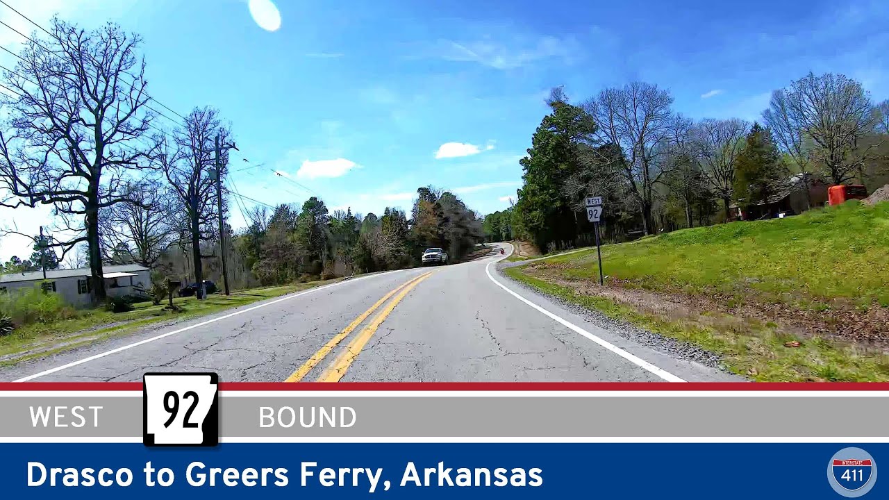 Arkansas Highway 92: Drasco to Greers Ferry
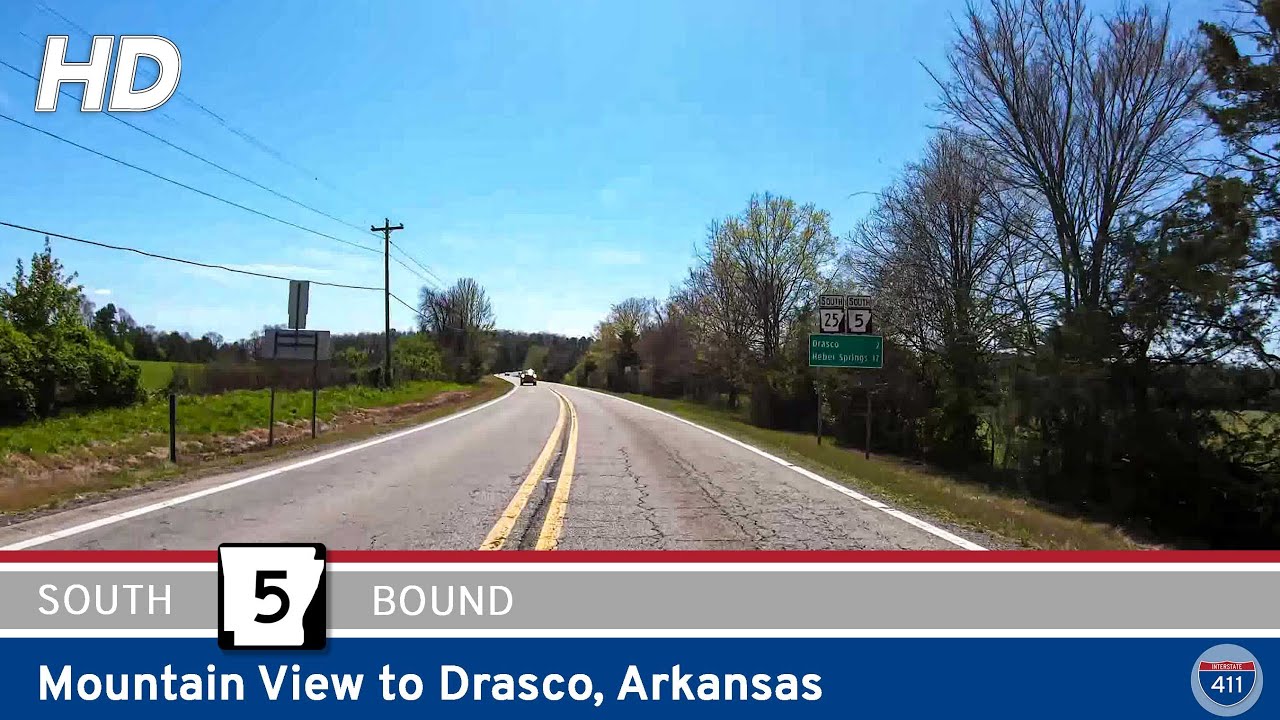 Arkansas Highway 5: Mountain View to Drasco
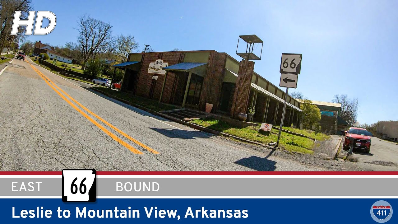 Arkansas Highway 66: Leslie to Mountain View
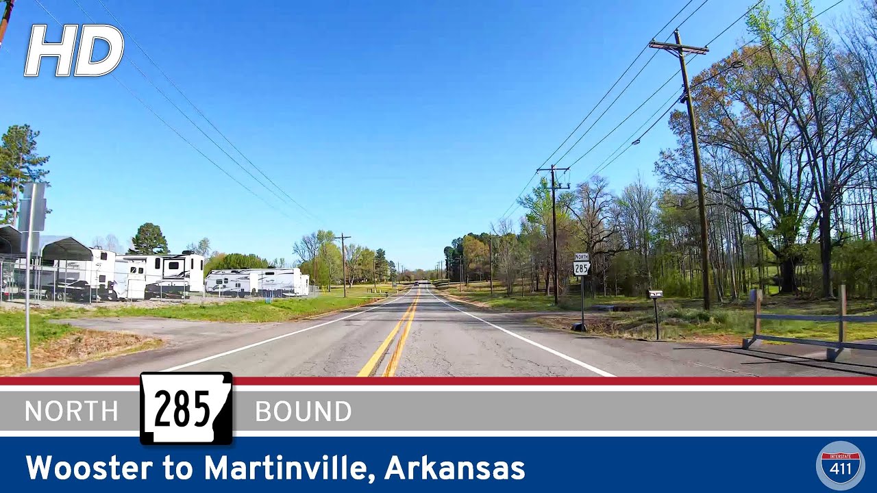 Arkansas Highway 285: Wooster to Martinville
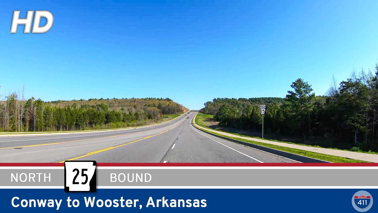 Arkansas Highway 25: Conway to Wooster
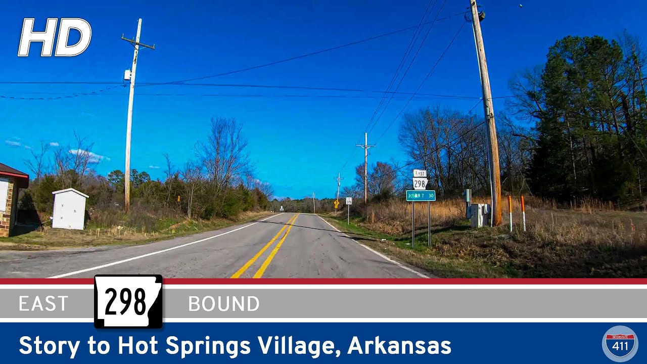 Arkansas Highway 298: Story to Hot Springs Village
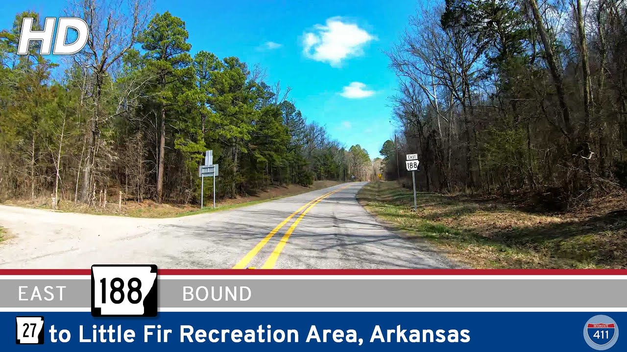 Arkansas Highway 188: Highway 27 to Little Fir Recreation Area
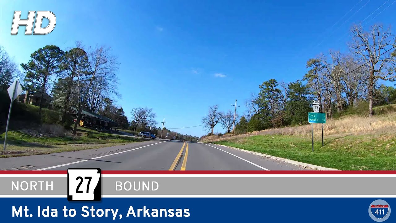 Arkansas Highway 27: Mt. Ida to Story
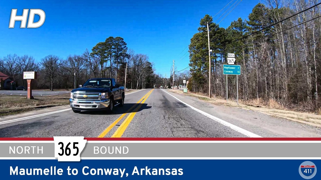 [Revisited] Arkansas Highway 365: Maumelle to Conway
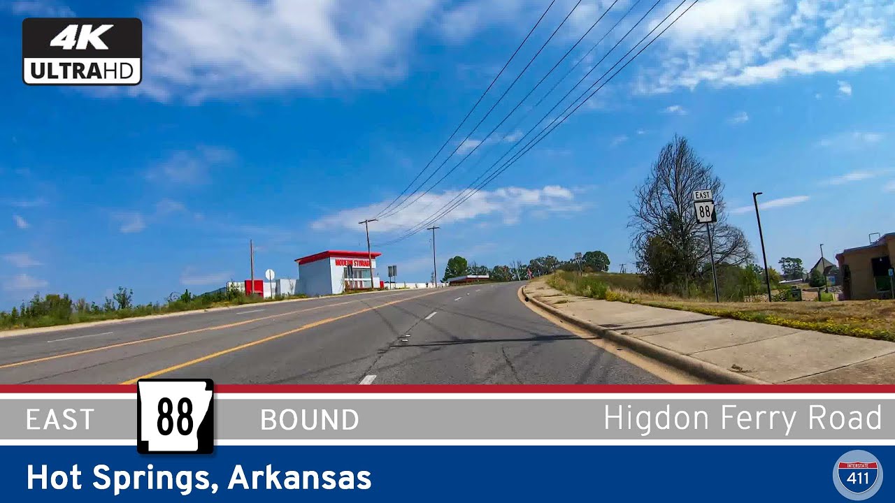 Arkansas Highway 88: Higdon Ferry Rd – Hot Springs
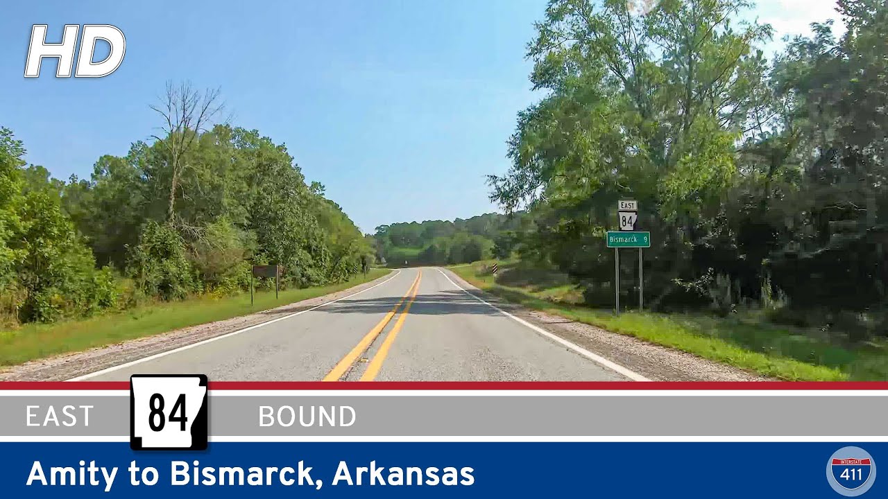 Arkansas Highway 84: Amity to Bismarck
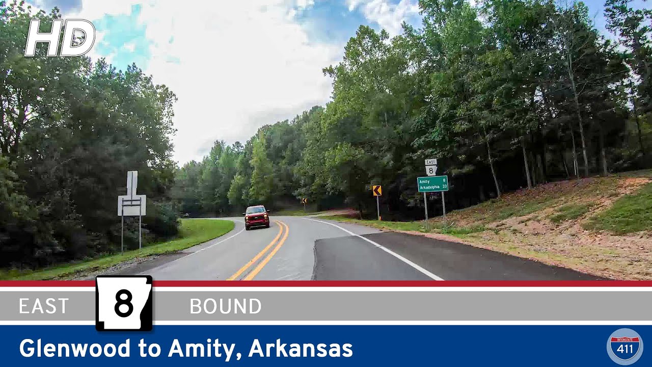 Arkansas Highway 8: Glenwood to Amity
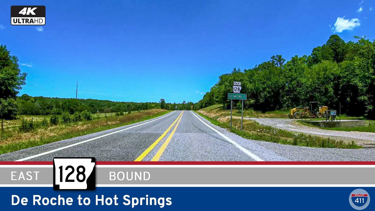 Arkansas Highway 128: De Roche to Hot Springs
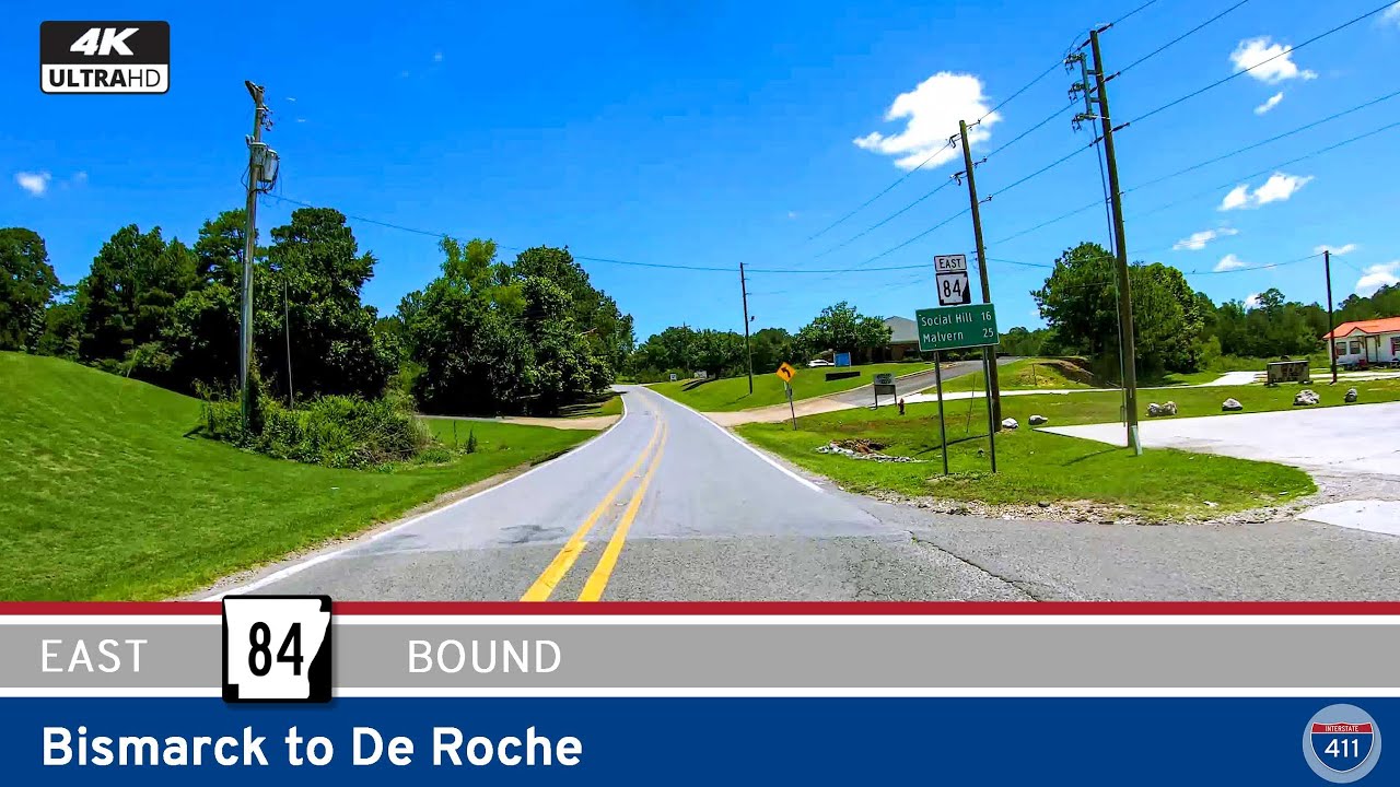 Arkansas Highway 84: Bismarck to De Roche
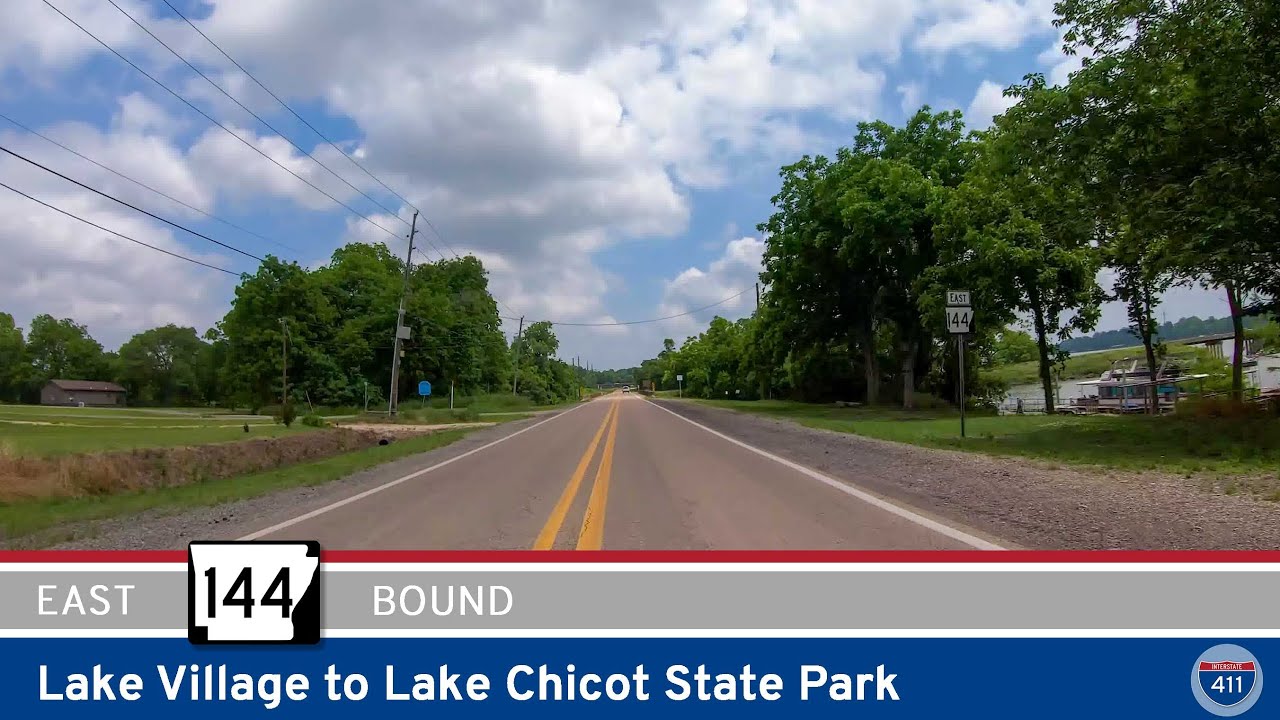 Arkansas Highway 144: Lake Village to Lake Chicot State Park
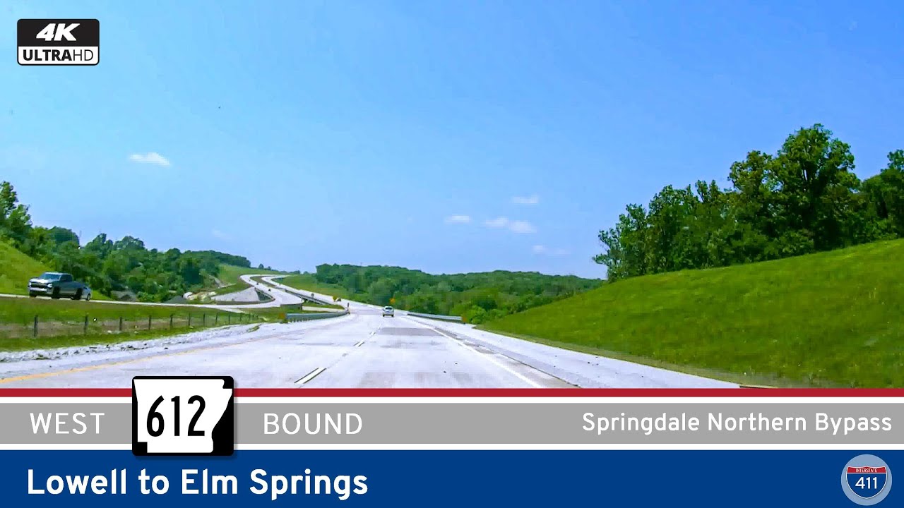 Arkansas Highway 612: Lowell to Elm Springs
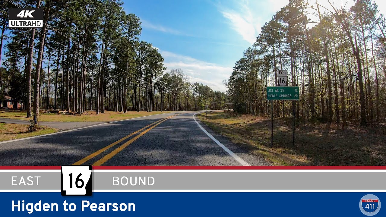 Arkansas Highway 16: Higden to Pearson
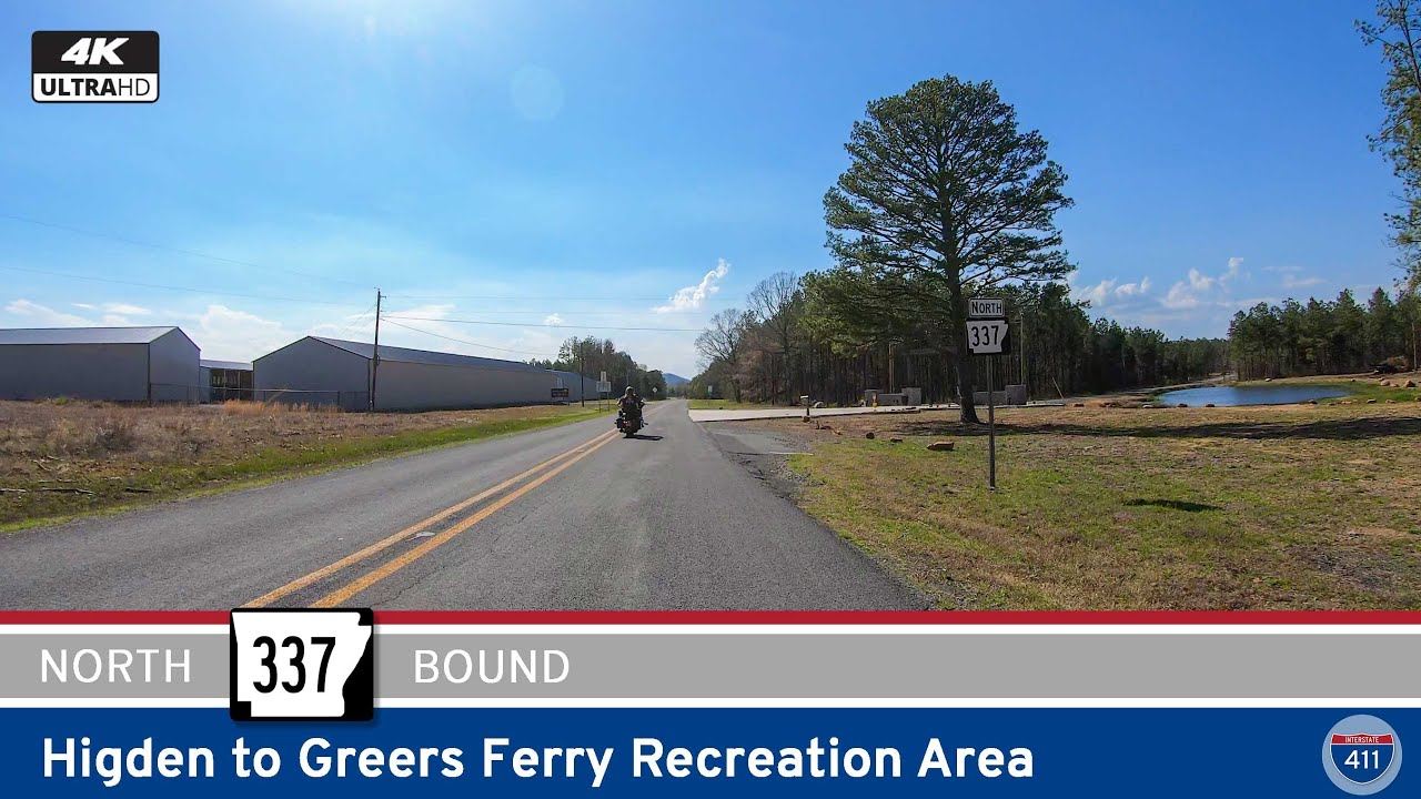 Arkansas Highway 337: Higden to Sugar Loaf Use Area
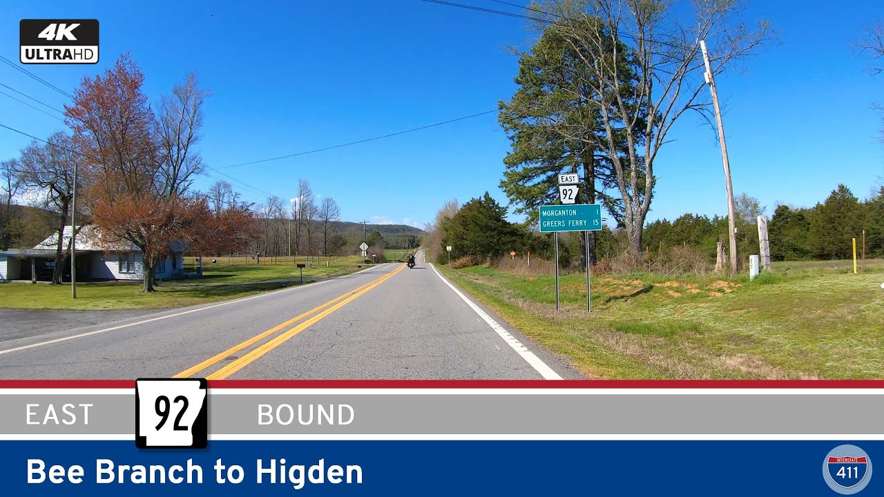 Arkansas Highway 92: Bee Branch to Higden
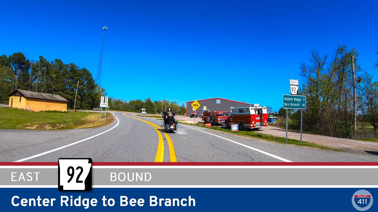 Arkansas Highway 92: Center Ridge to Bee Branch
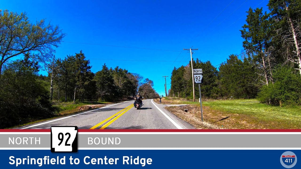 Arkansas Highway 92: Springfield to Center Ridge
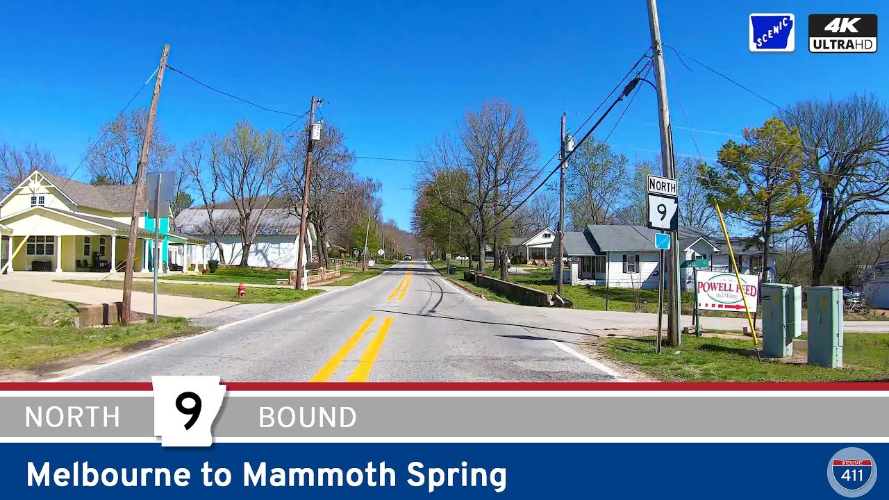 Arkansas Highway 9: Melbourne to Mammoth Spring
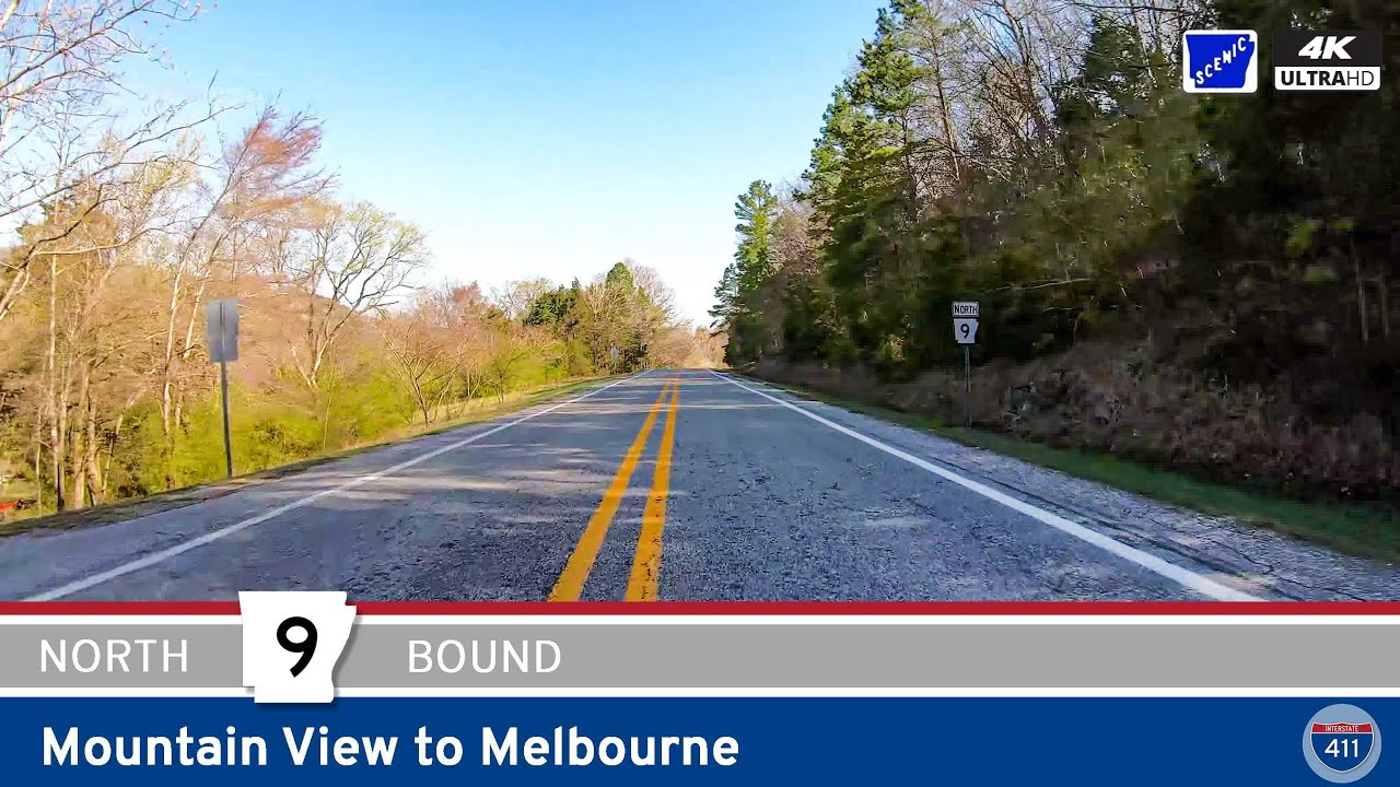 Arkansas Highway 9: Mountain View to Melbourne
 [Revisited] Arkansas Highway 9: Clinton to Mountain View – Arkansas
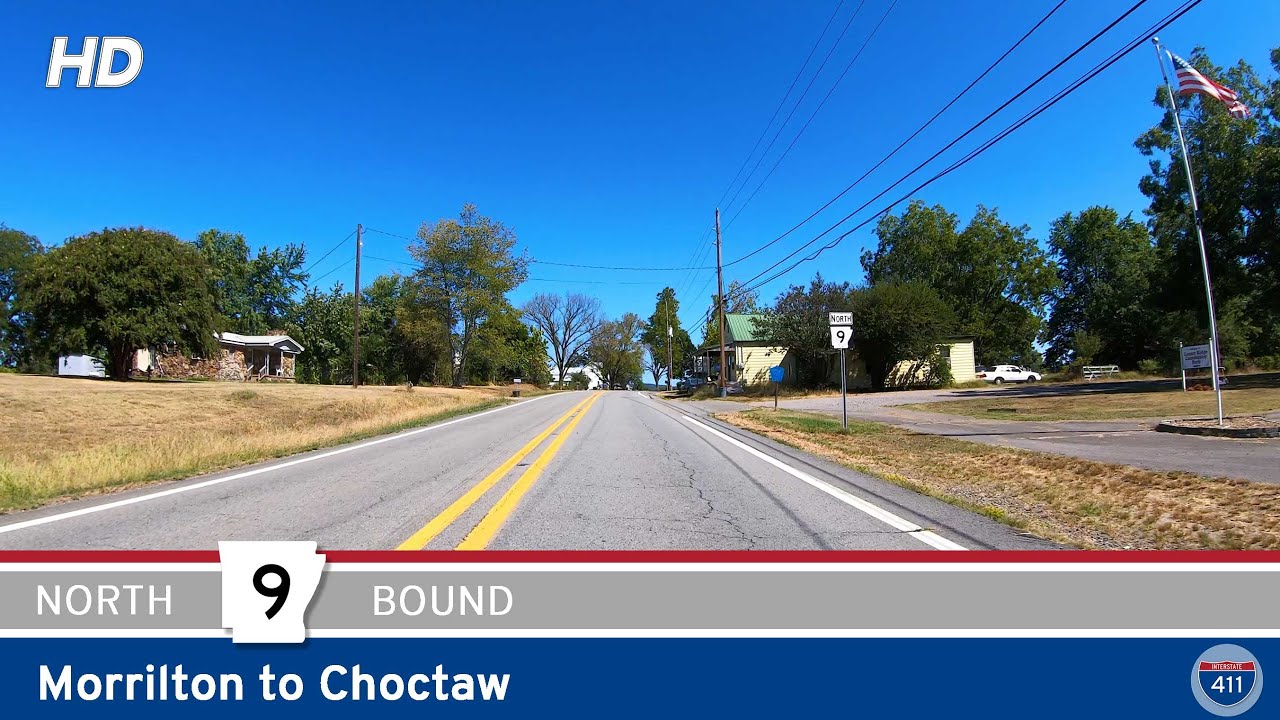 Arkansas Highway 9: Morrilton to Choctaw
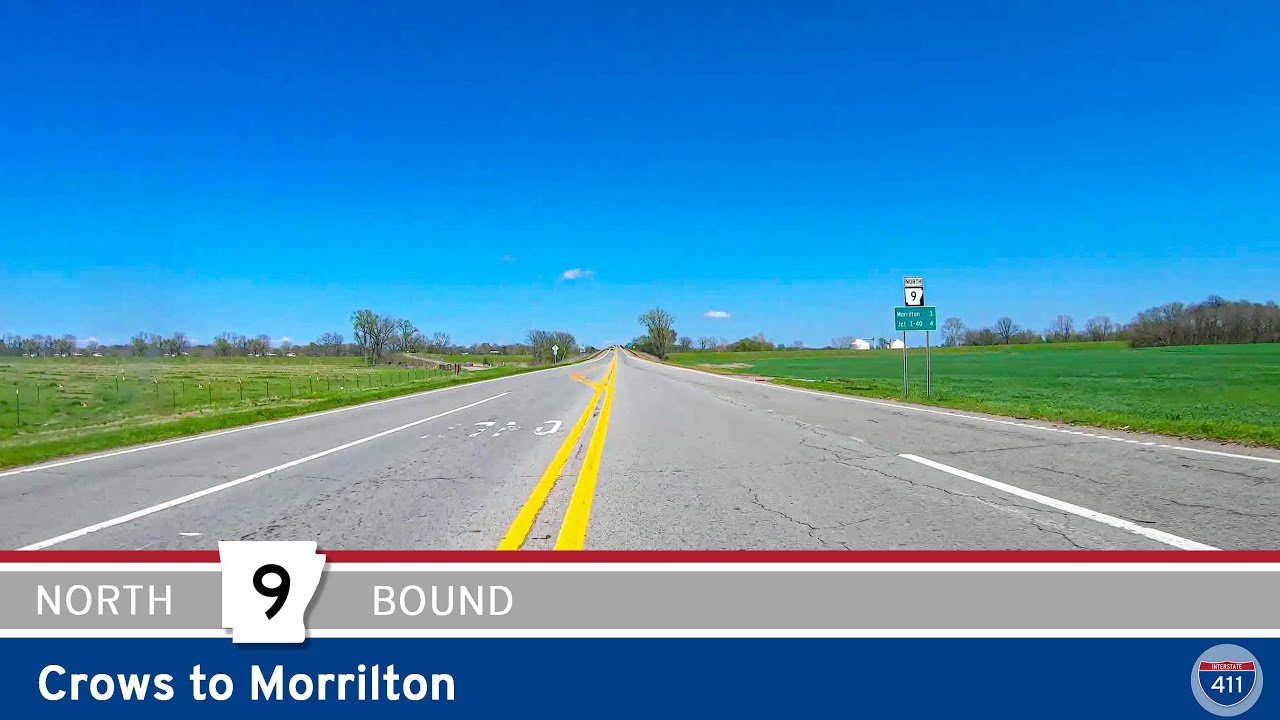 Arkansas Highway 9: Crows to Morrilton
 Arkansas Highway 9: Eagle Mills to Malvern
 Arkansas Highway 89: Mayflower
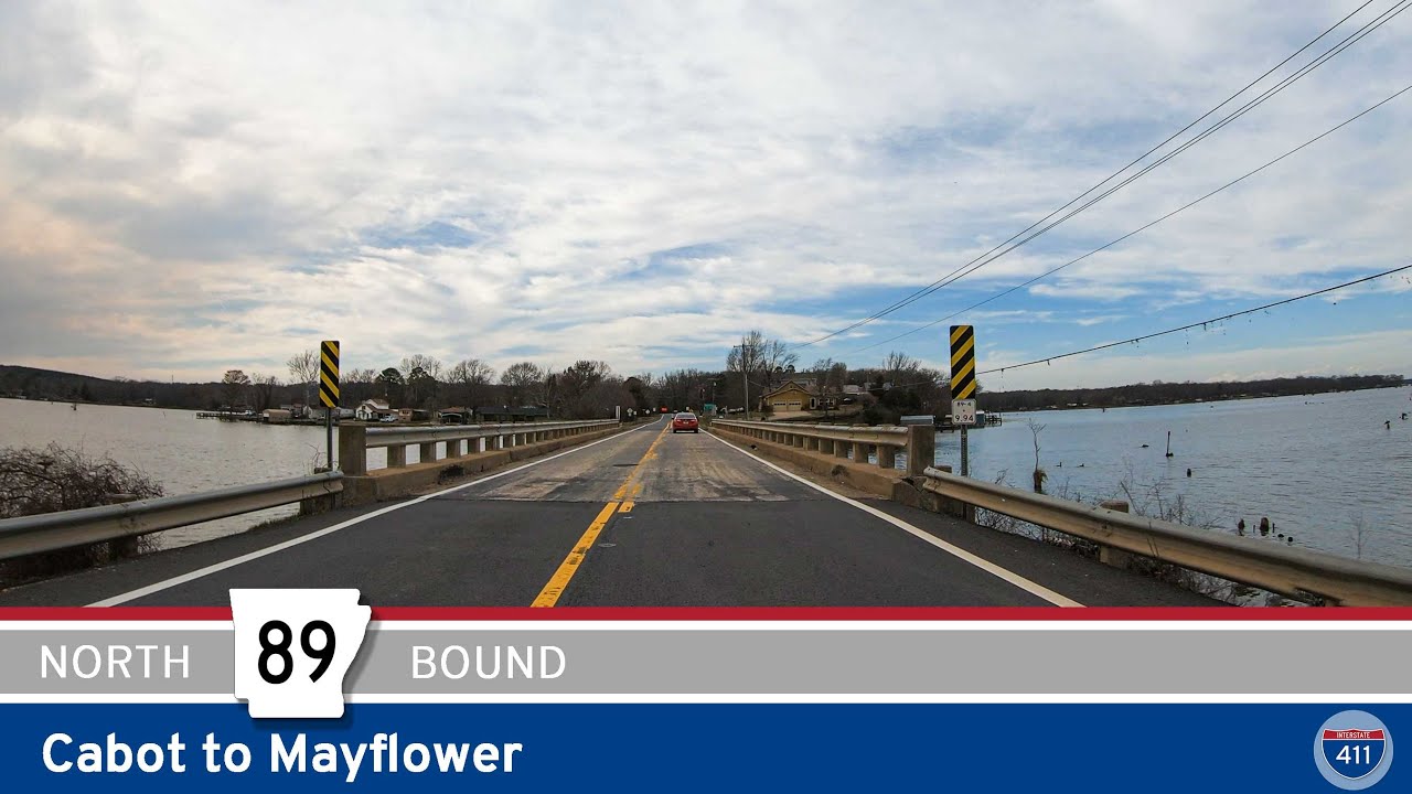 Arkansas Highway 89: Cabot to Mayflower
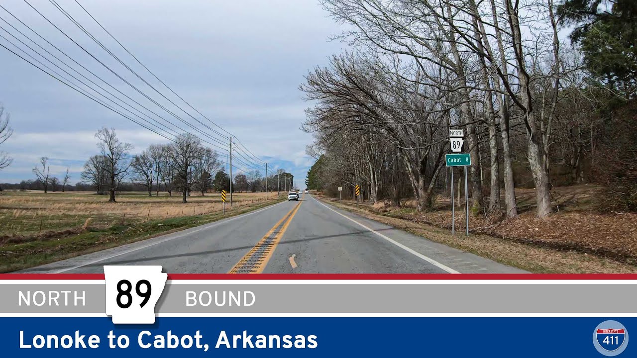 Arkansas Highway 89: Lonoke to Cabot
 Arkansas Highway 190: Tull to Shaw
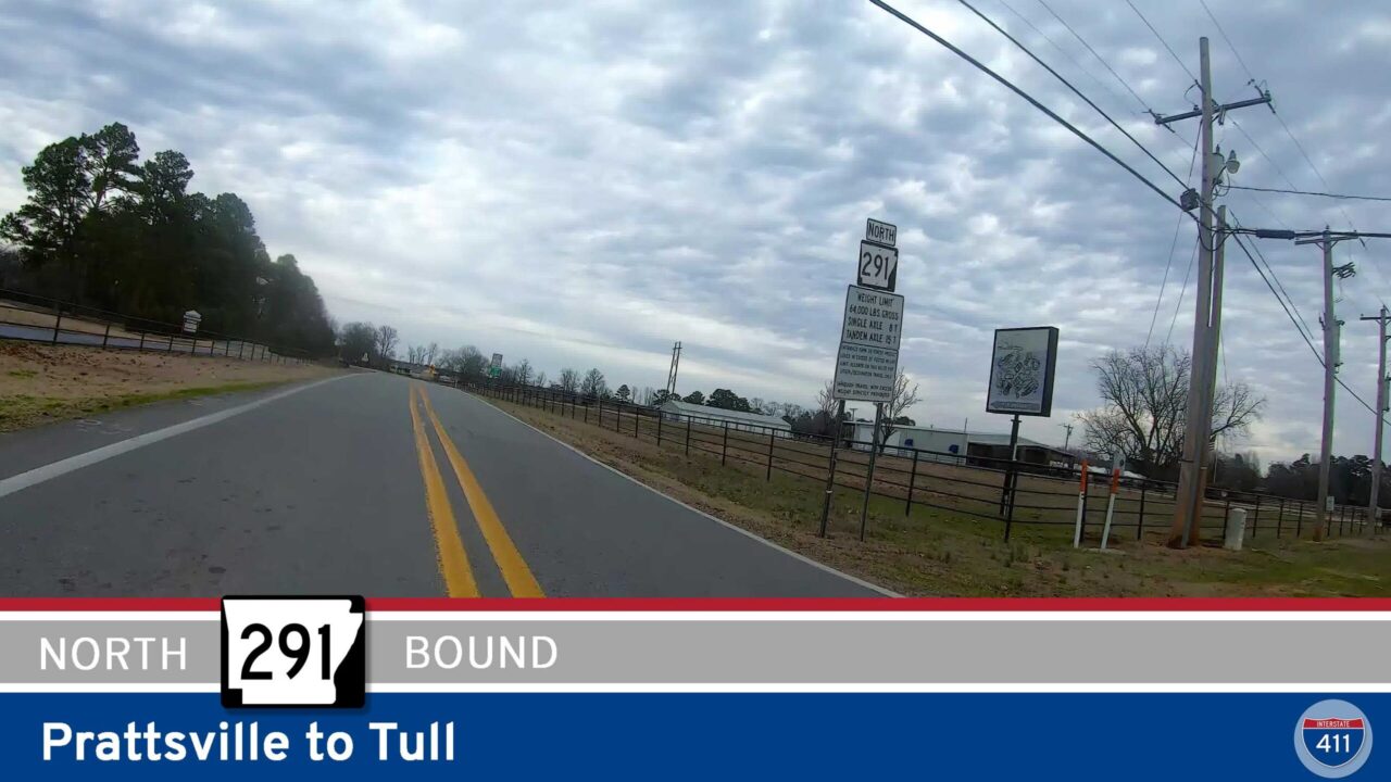 Arkansas Highway 291: Prattsville to Tull
 Arkansas Highway 229: Traskwood to Poyen
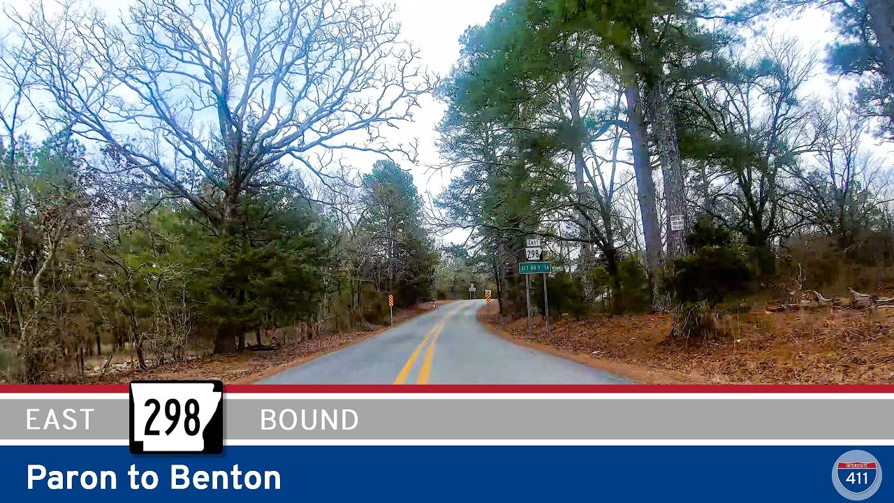 Arkansas Highway 298: Paron to Benton
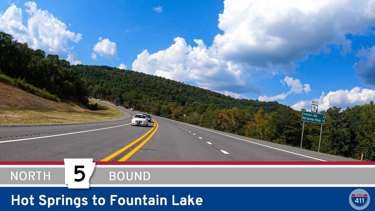 Arkansas Highway 5: Hot Springs to Fountain Lake – 2023 Hot Springs Bypass Extension
 Arkansas Highway 5: Fountain Lake to Hot Springs – 2023 Hot Springs Bypass Extension
 Arkansas Highway 107: Quitman to Naylor
 Arkansas Highway 124: Rose Bud to Quitman
 Arkansas Highway 36: Center Hill to Rose Bud
 Arkansas Highway 305: Floyd to Center Hill
 Arkansas Highway 107: North Little Rock to Vilonia
 Arkansas Highway 123: Sand Gap to Western Grove
 Arkansas Highway 123: Lamar to Sand Gap – Arkansas Dragon Part 1
 Arkansas Highway 16: Witts Springs to Sand Gap
 Arkansas Highway 377: Snowball to Witts Springs
 Arkansas Highway 74: Marshall to Snowball
 Arkansas Highway 16: Cross Roads to Greers Ferry
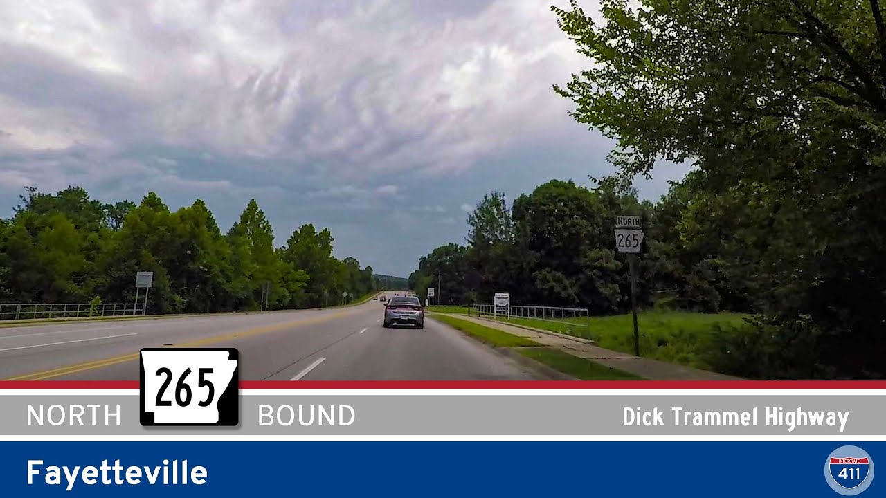 Arkansas Highway 265 – Crossover Rd in Fayetteville
 Arkansas Highway 225: Quitman to Cross Roads
 Arkansas Highway 356: Quitman
 Arkansas Highway 187: Beaver to Eureka Springs
 Arkansas Highway 23: Missouri to Eureka Springs [Revisited]
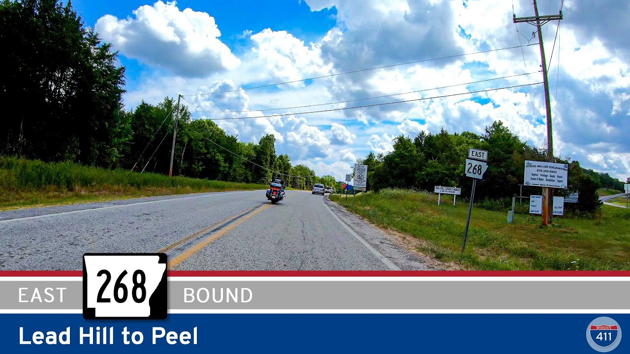 Arkansas Highway 268: Lead Hill to Peel
 Arkansas Highway 7: Lead Hill to Diamond City
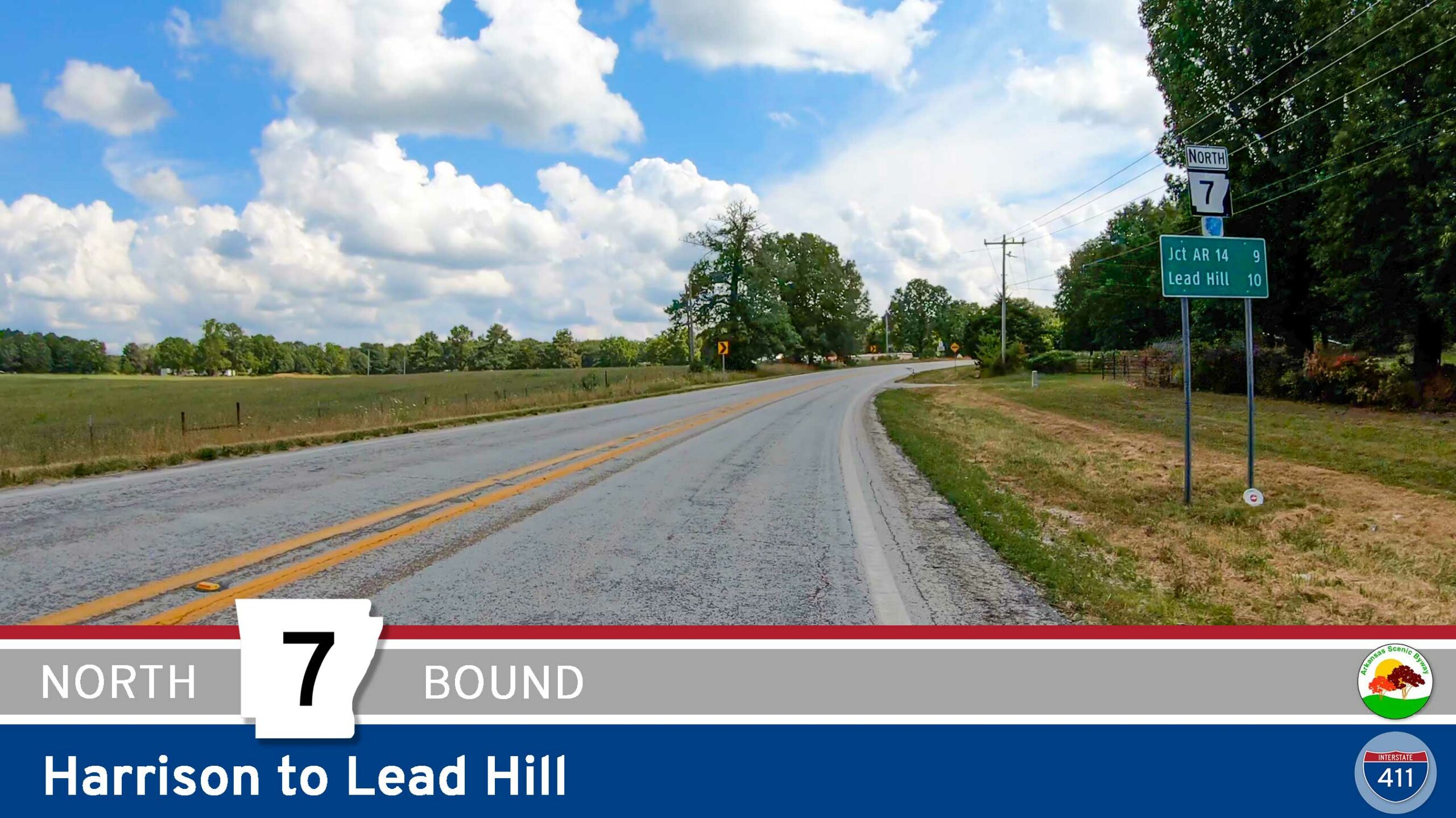 Arkansas Highway 7: Harrison to Lead Hill
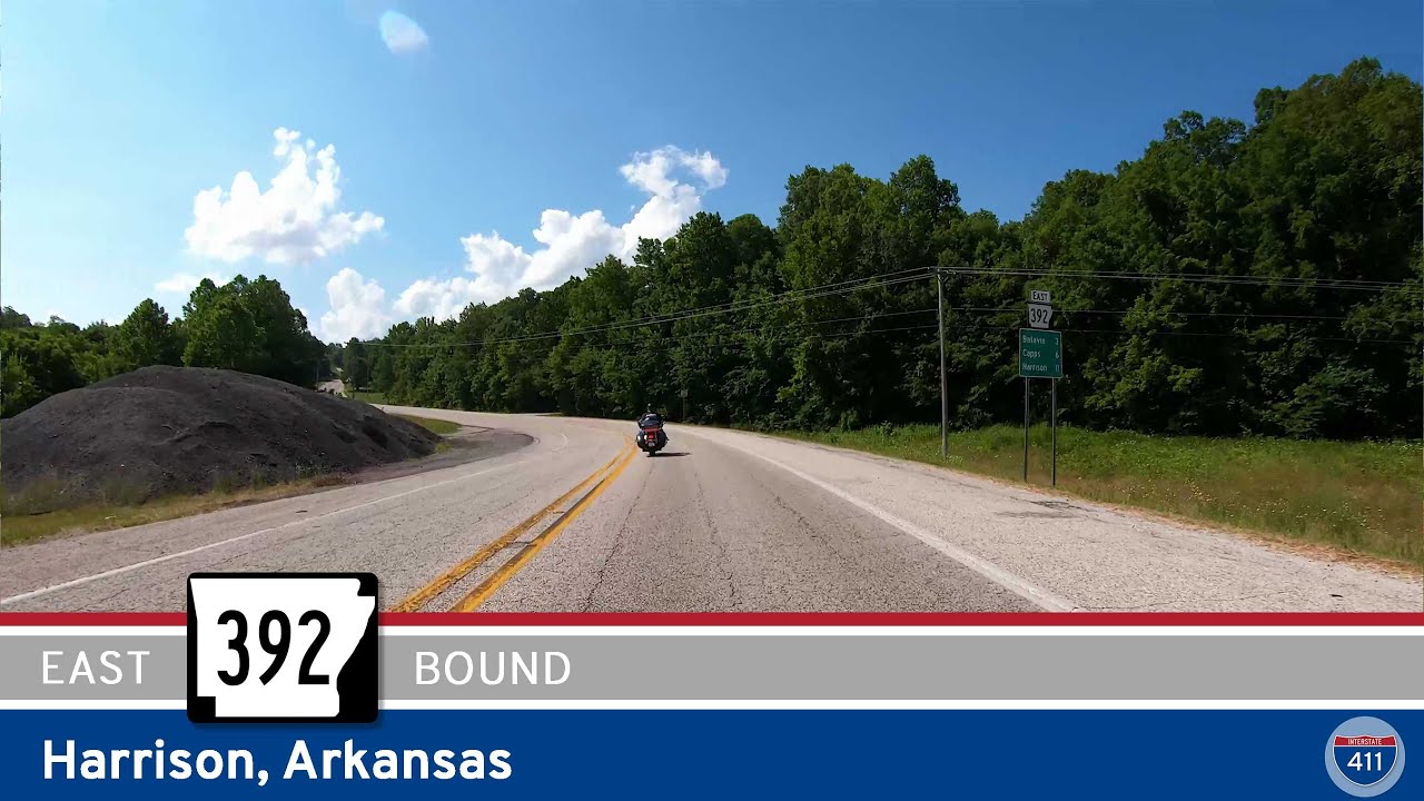 Arkansas Highway 392: Harrison
 Arkansas Highway 7S: Gulpha Gorge – Hot Springs National Park
 Arkansas Highway 5: Benton to Fountain Lake
 Arkansas Highway 23: Eureka Springs to Eagle Rock Missouri [Revisited]
 Arkansas Highway 187: Eureka Springs to Beaver
 Arkansas Highway 393: Delaware to Delaware Park
 Arkansas Highway 363: Atkins to Pottsville
 Arkansas Highway 247: Hattieville to Atkins
 Arkansas Highway 213 through Hattieville
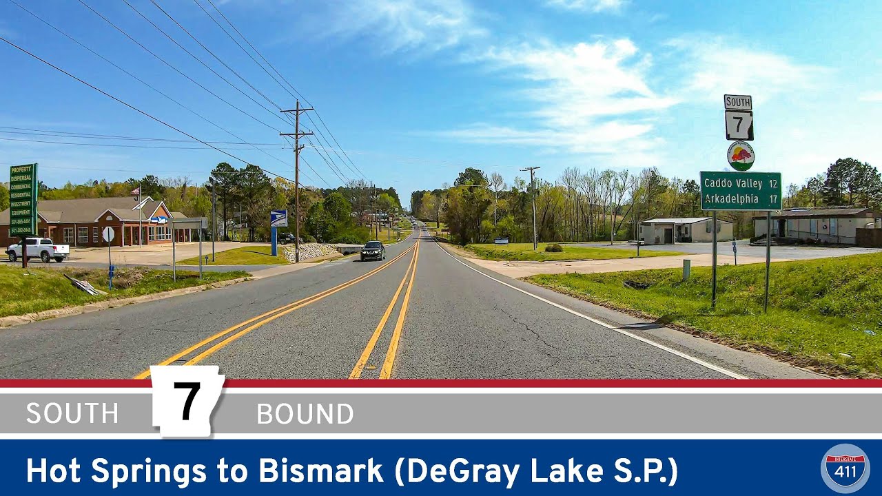 Arkansas Highway 7: Hot Springs to Bismark (DeGray Lake State Park)
 Arkansas Highway 95: Morrilton to Hattieville
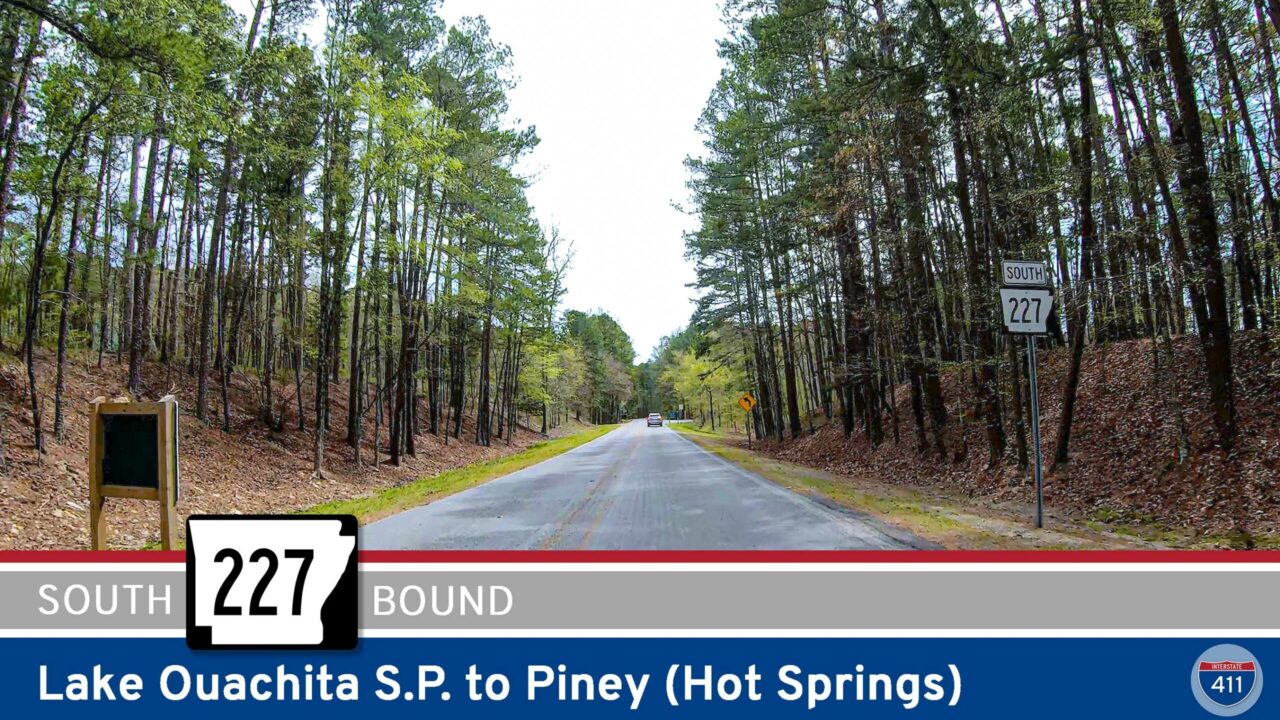 Arkansas Highway 227: Lake Ouachita State Park to Piney (Hot Springs)
 Arkansas Highway 192: Hot Springs Village to Lake Ouachita State Park
 Arkansas Highway 5: Crows to Fountain Lake
 Arkansas Highway 9: Williams Junction to Crows
 Arkansas Highway 69: Moorefield to Jacksonport
 Arkansas Highway 16: Albion to Pangburn
 Arkansas Highway 310: Sidon to Albion
 Arkansas Highway 36: 8-mile to Rose Bud
 Arkansas Highway 38: Des Arc to Cabot
 Arkansas Highway 38: Cotton Plant to Des Arc
 Arkansas Highway 17: Brinkley to Cotton Plant
 Arkansas Highway 9: Paron to Crows
 Arkansas Highway 365: North Little Rock
 Arkansas Highway 365: White Hall to Little Rock
 Arkansas Highway 367: Little Rock to East End
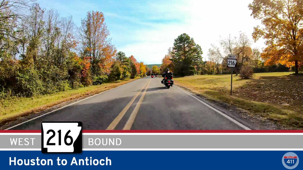 Arkansas Highway 216: Houston to Antioch
 Arkansas Highway 326: Russellville to Lake Dardanelle State Park
 Arkansas Highway 309: Mt. Magazine Scenic Byway – Havana to Paris
 Arkansas Highway 10: Danville to Havana
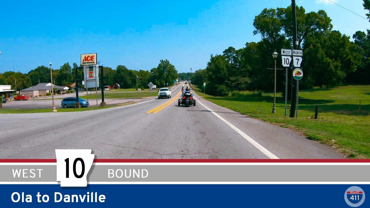 Arkansas Highway 10: Ola to Danville
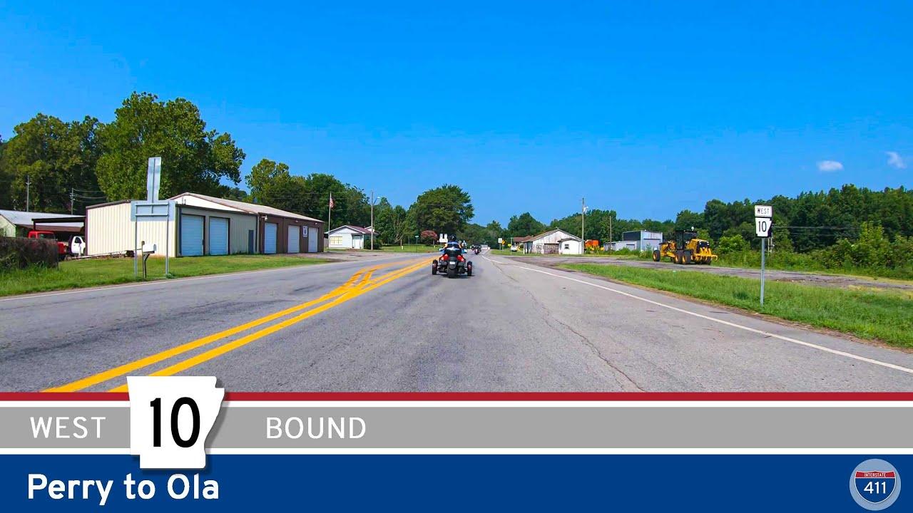 Arkansas Highway 10: Perry to Ola
 Arkansas Highway 227: Hot Springs to Lake Ouachita State Park
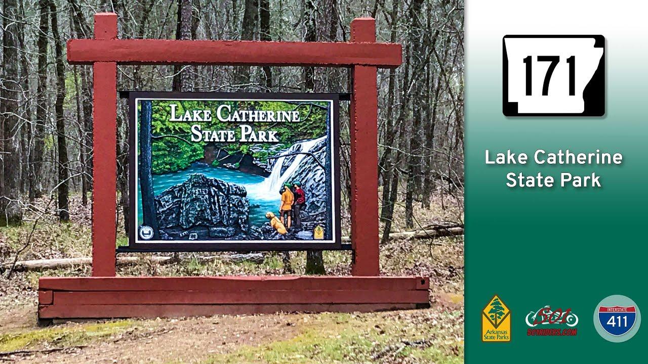 Arkansas Highway 171: Lake Catherine State Park
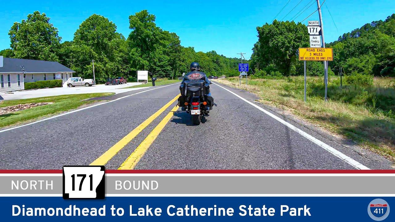 Arkansas Highway 171: Diamondhead to Lake Catherine State Park
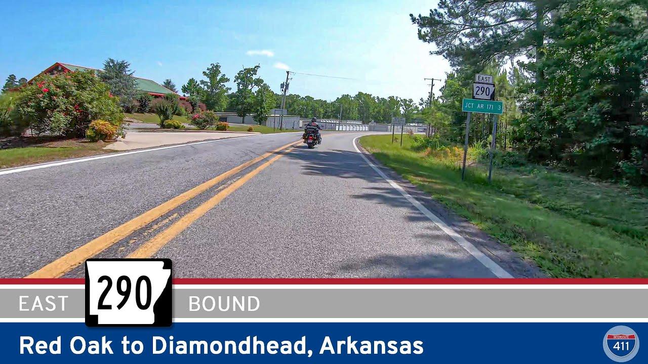 Arkansas Highway 290: Red Oak to Diamondhead
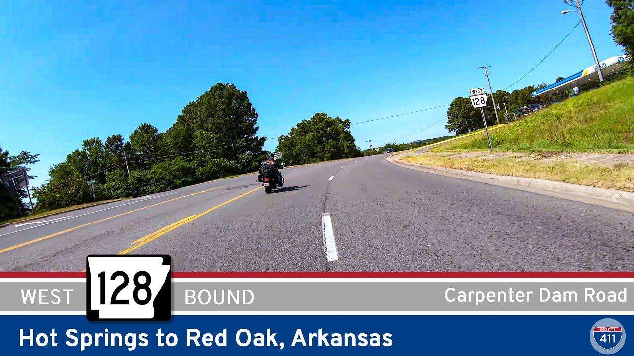 Arkansas Highway 128: Hot Springs to Red Oak
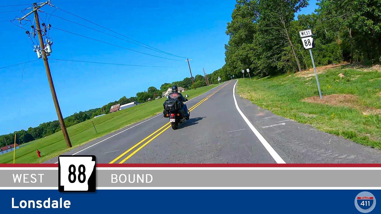 Arkansas Highway 88: Lonsdale
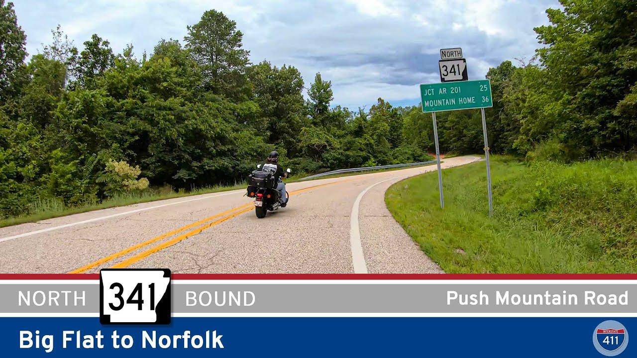 Arkansas Highway 341: Push Mountain Road – Big Flat to Norfolk
 Arkansas Highway 14: Mountain View to Big Flat
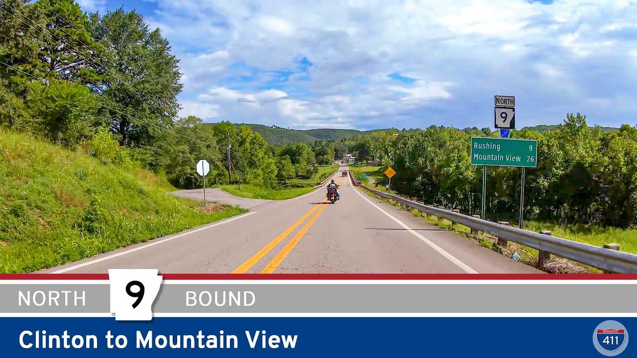 Arkansas Highway 9: Clinton to Mountain View
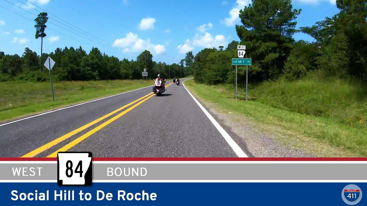 Arkansas Highway 84: Social Hill to De Roche
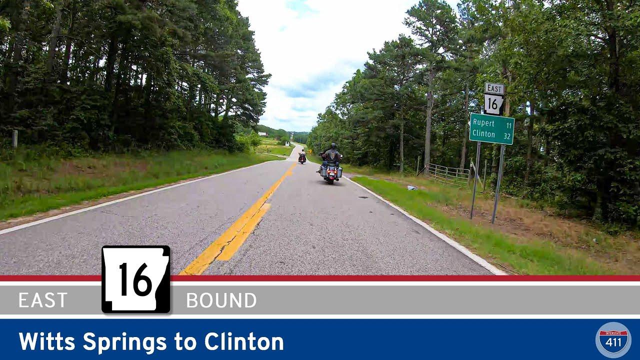 Arkansas Highway 16: Witts Springs to Clinton
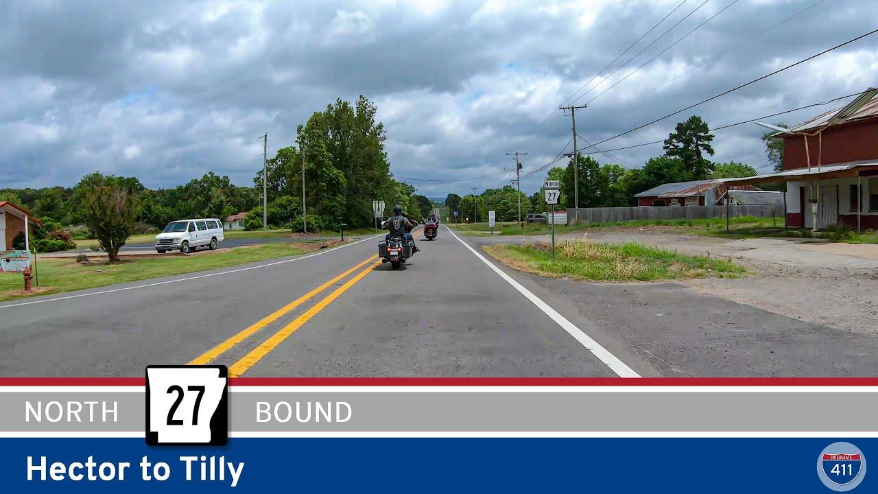 Arkansas Highway 27: Hector to Tilly
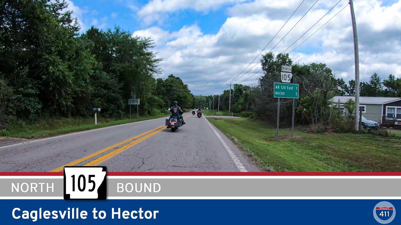 Arkansas Highway 105: Caglesville to Hector
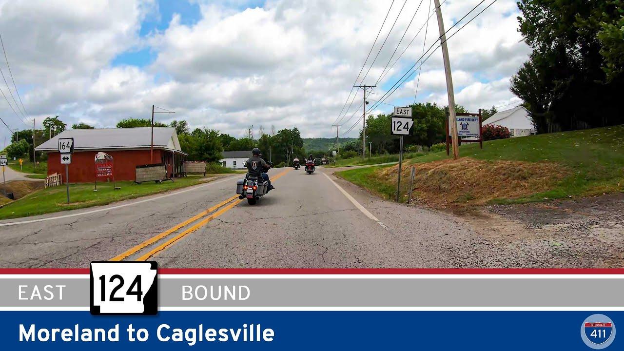 Arkansas Highway 124: Moreland to Caglesville
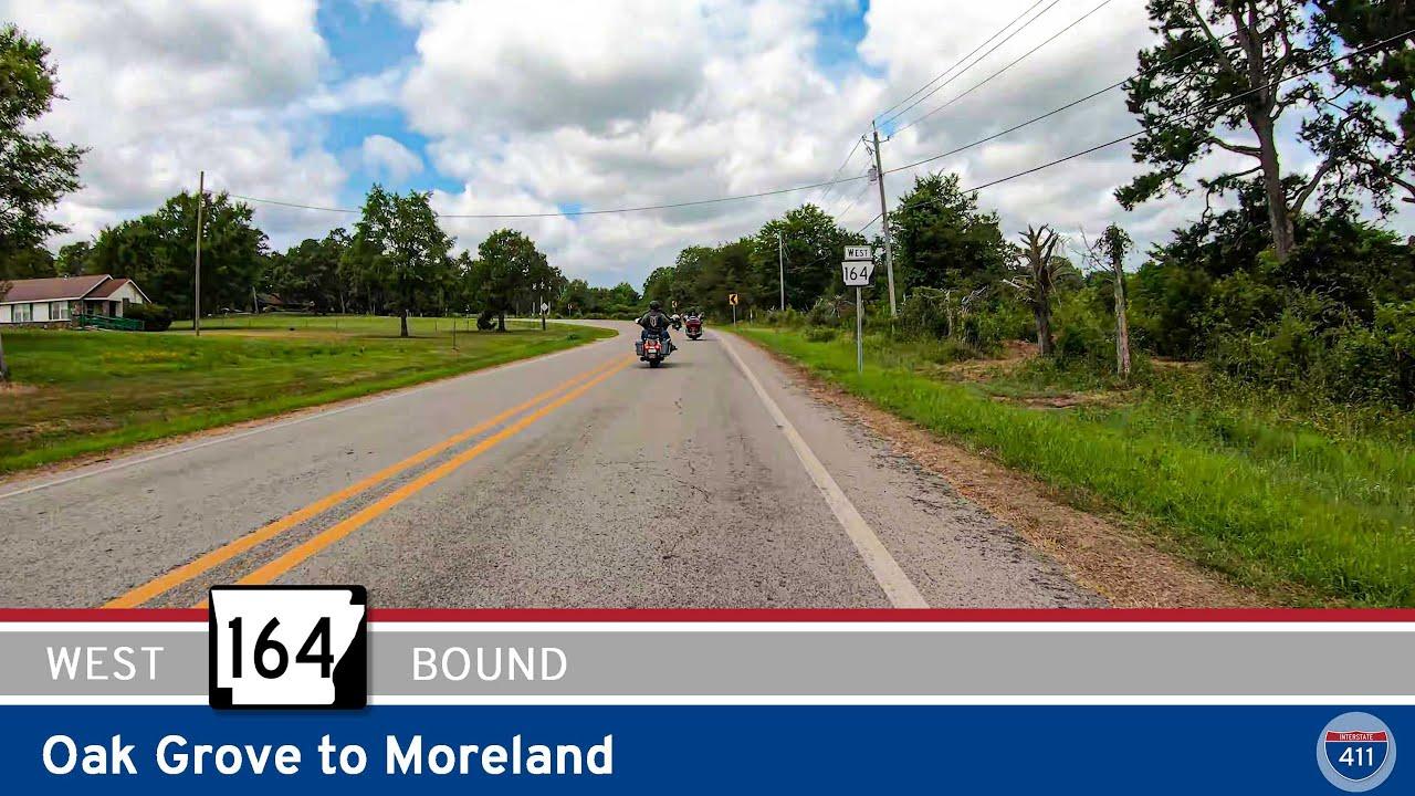 Arkansas Highway 164: Oak Grove to Moreland
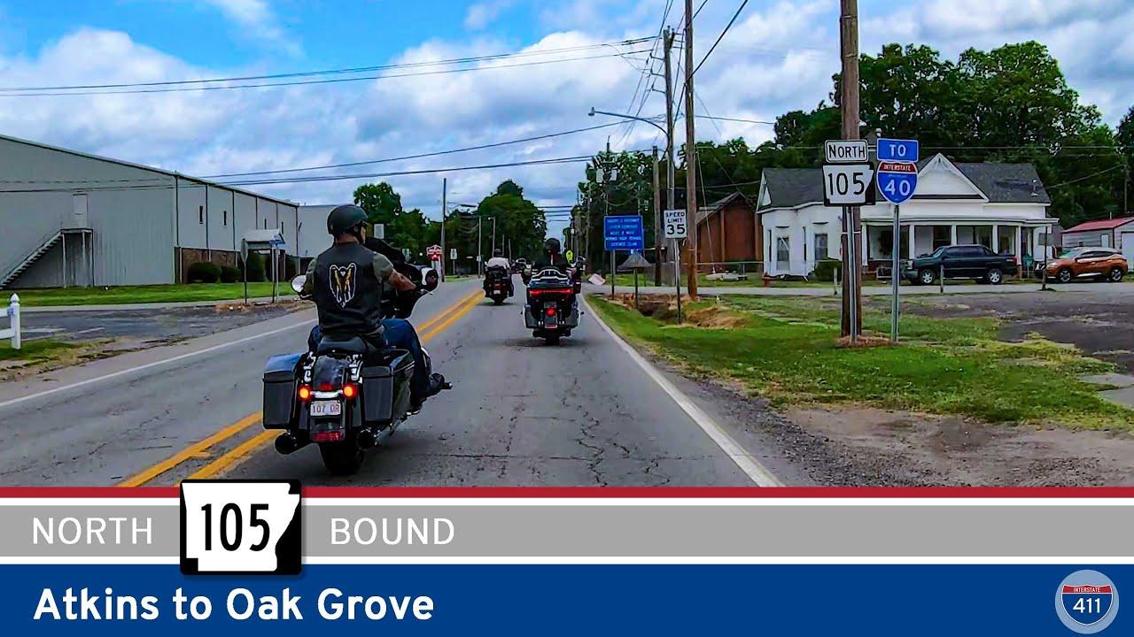 Arkansas Highway 105: Atkins to Oak Grove
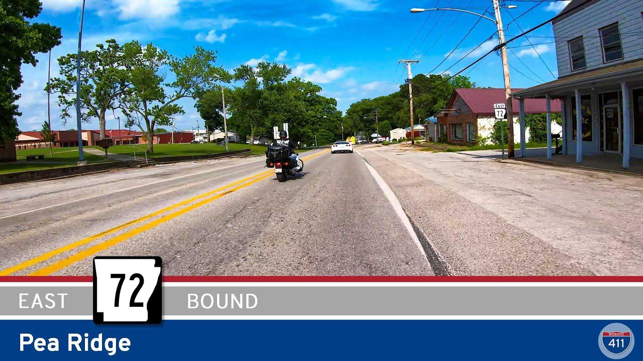 Arkansas Highway 72: Pea Ridge
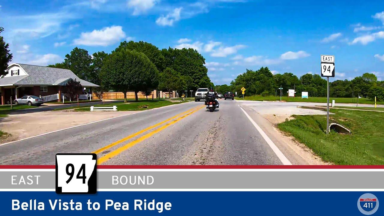 Arkansas Highway 94 – Bella Vista to Pea Ridge
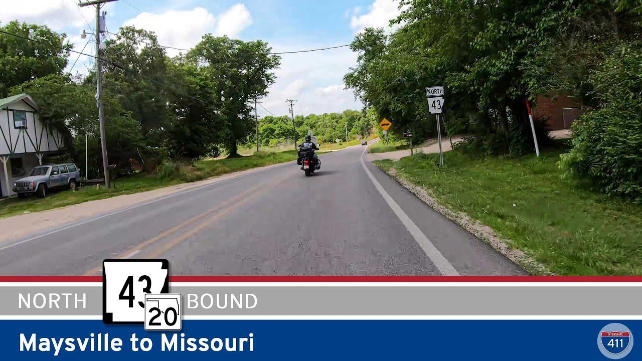 Arkansas Highway 43: Maysville to Missouri
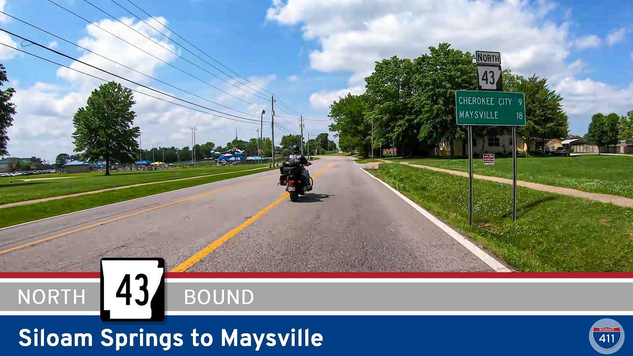 Arkansas Highway 43: Siloam Springs to Maysville
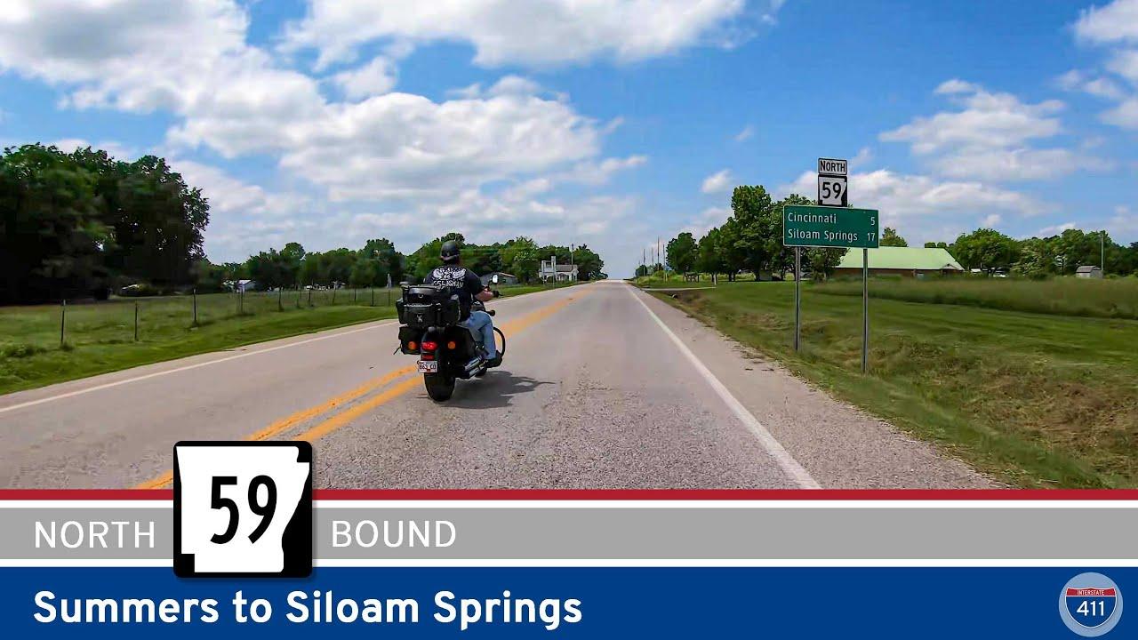 Arkansas Highway 59 – Summers to Siloam Springs
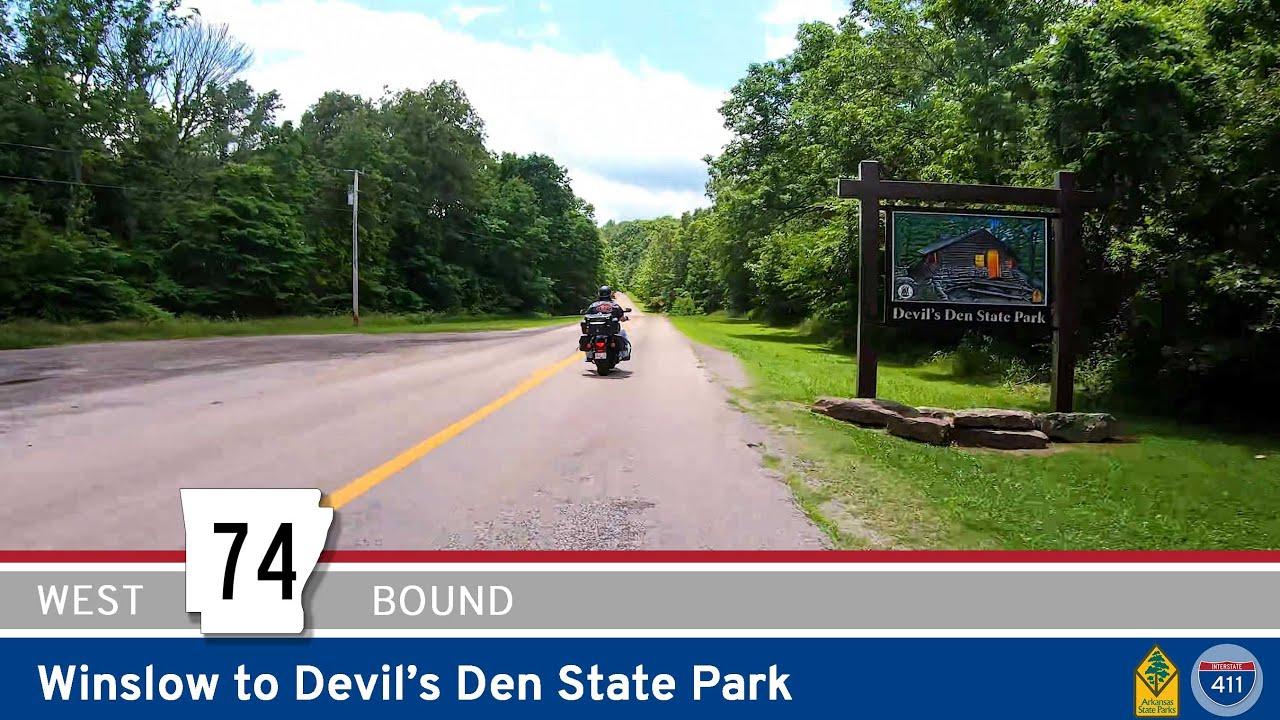 Arkansas Highway 74: Winslow to Devil’s Den State Park
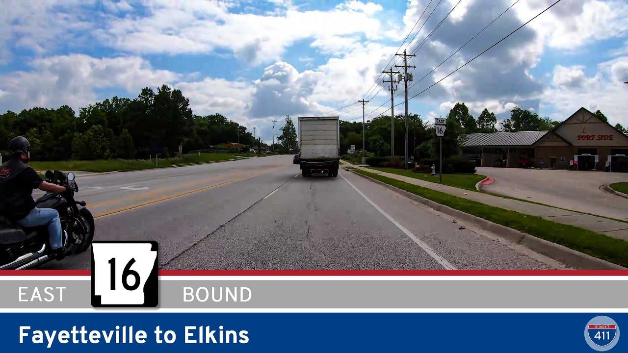 Arkansas Highway 16 – Fayetteville to Elkins
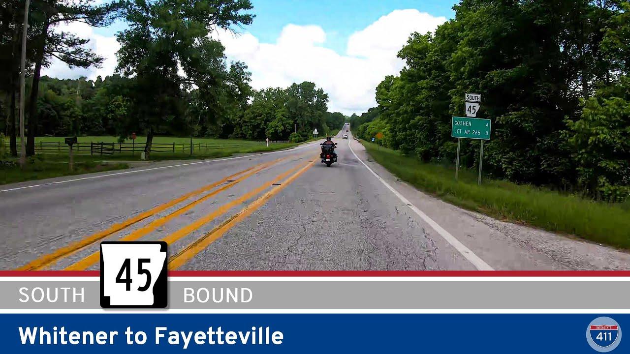 Arkansas Highway 45: Whitener to Fayetteville
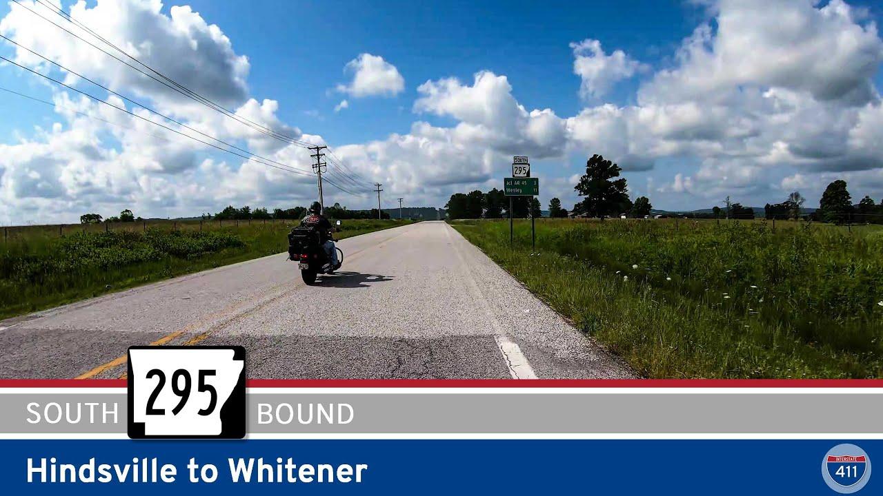 Arkansas Highway 295: Hindsville to Whitener
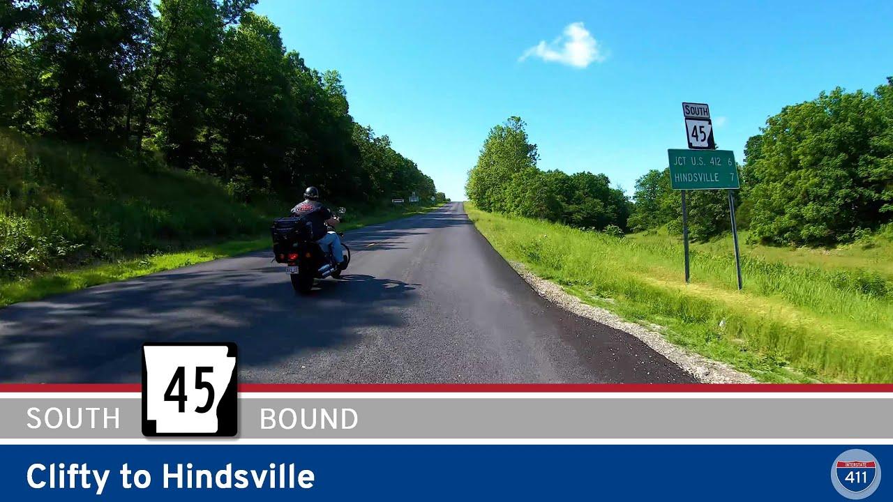 Arkansas Highway 45: Clifty to Hindsville
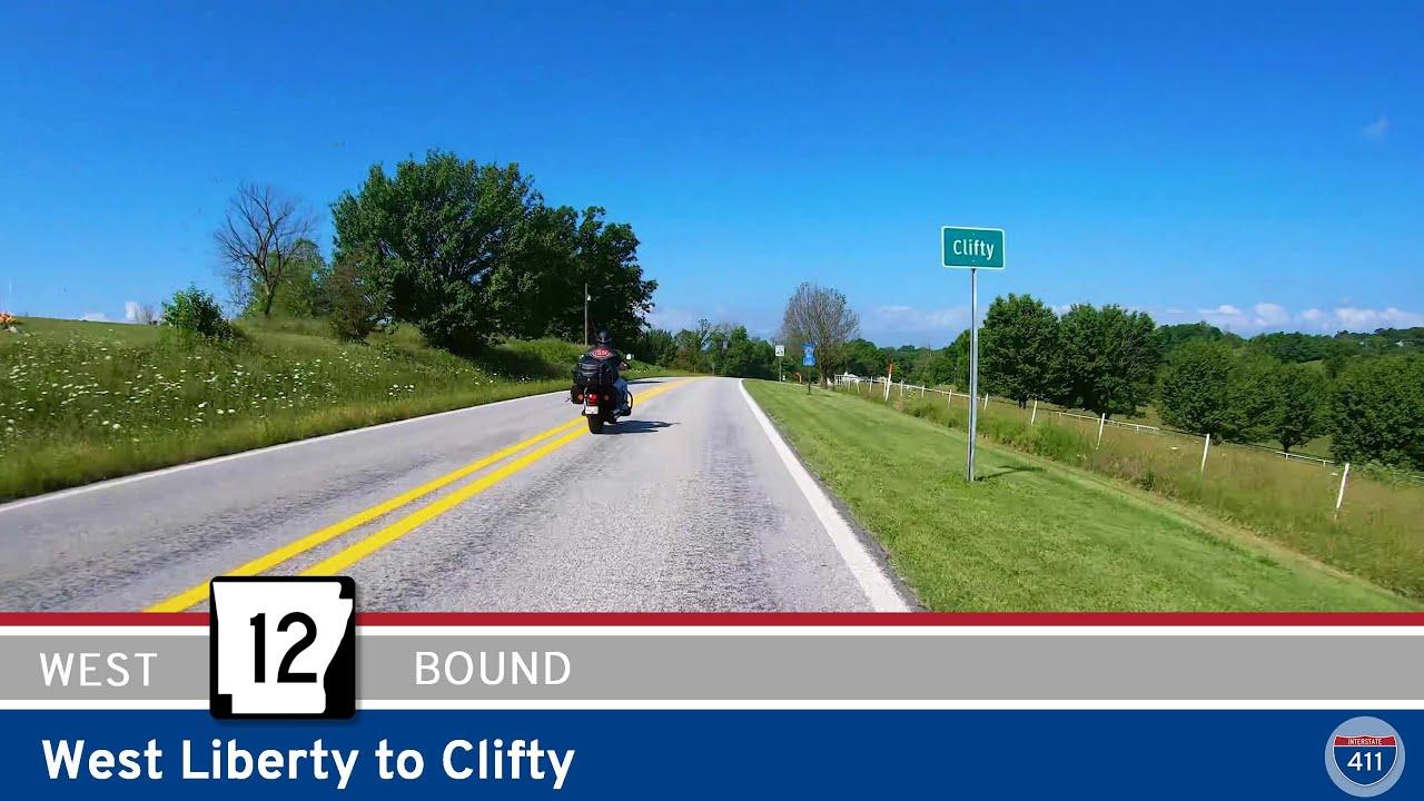 Arkansas Highway 12: West Liberty to Clifty
 Scenic Arkansas Highway 7: Jasper to Harrison
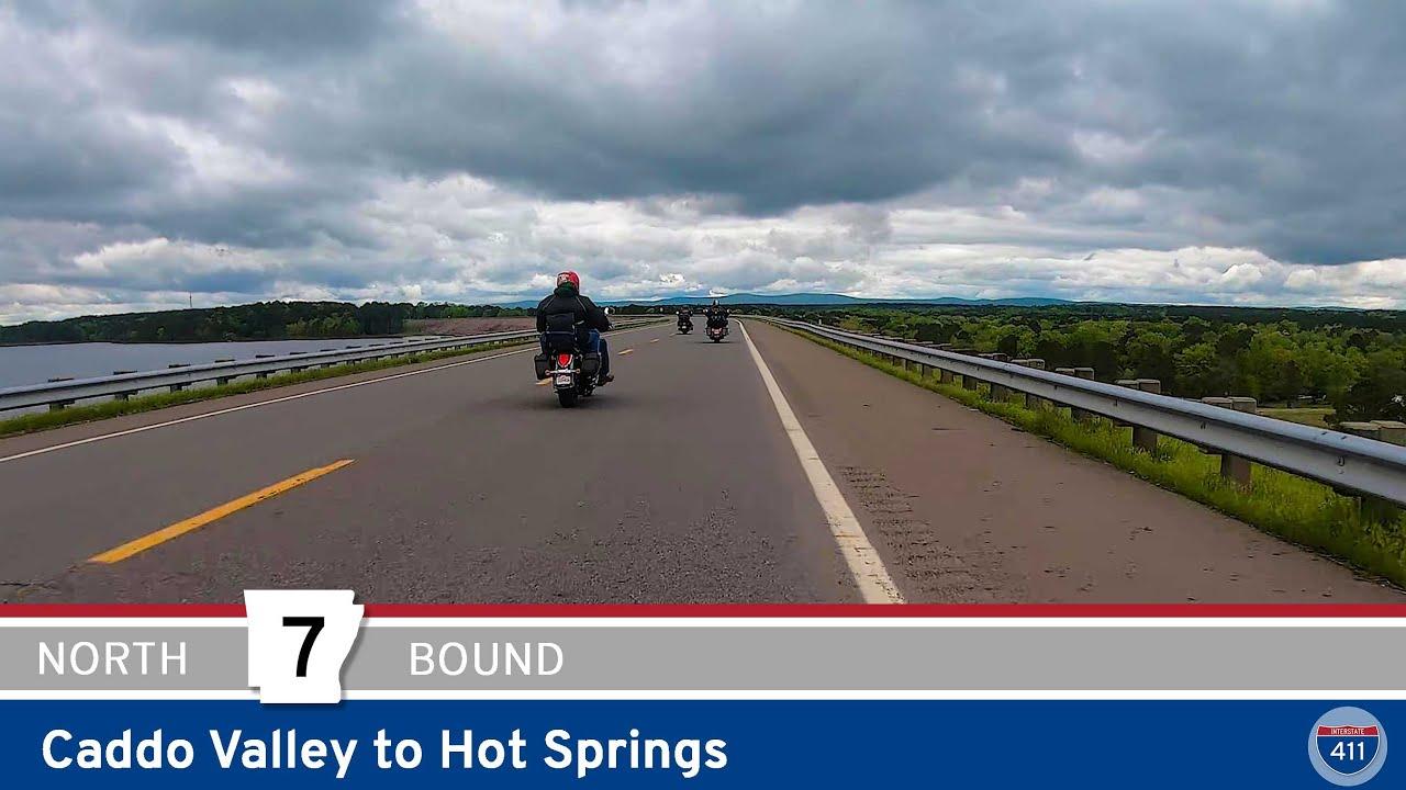 Scenic Arkansas Highway 7 – Caddo Valley to Hot Springs
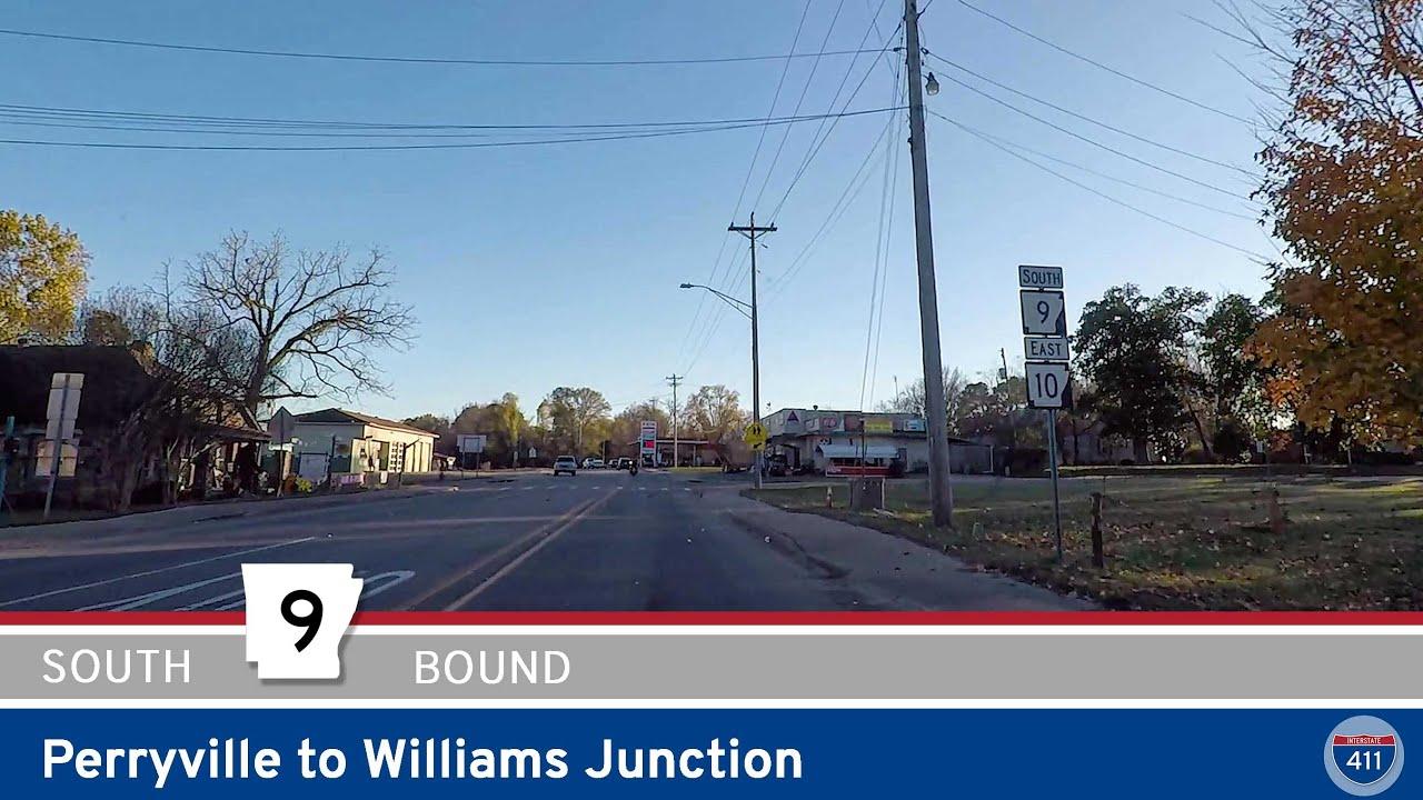 Arkansas Highway 9: Perryville to Williams Junction
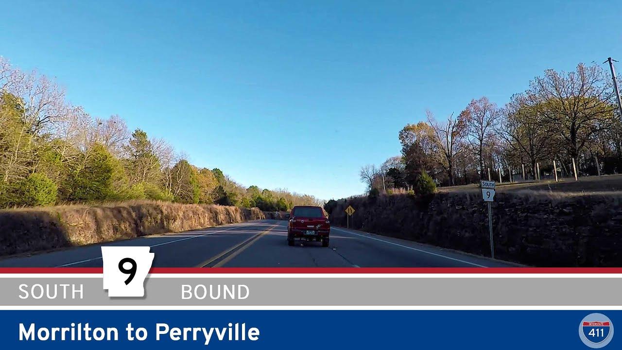 Arkansas Highway 9: Morrilton to Perryville
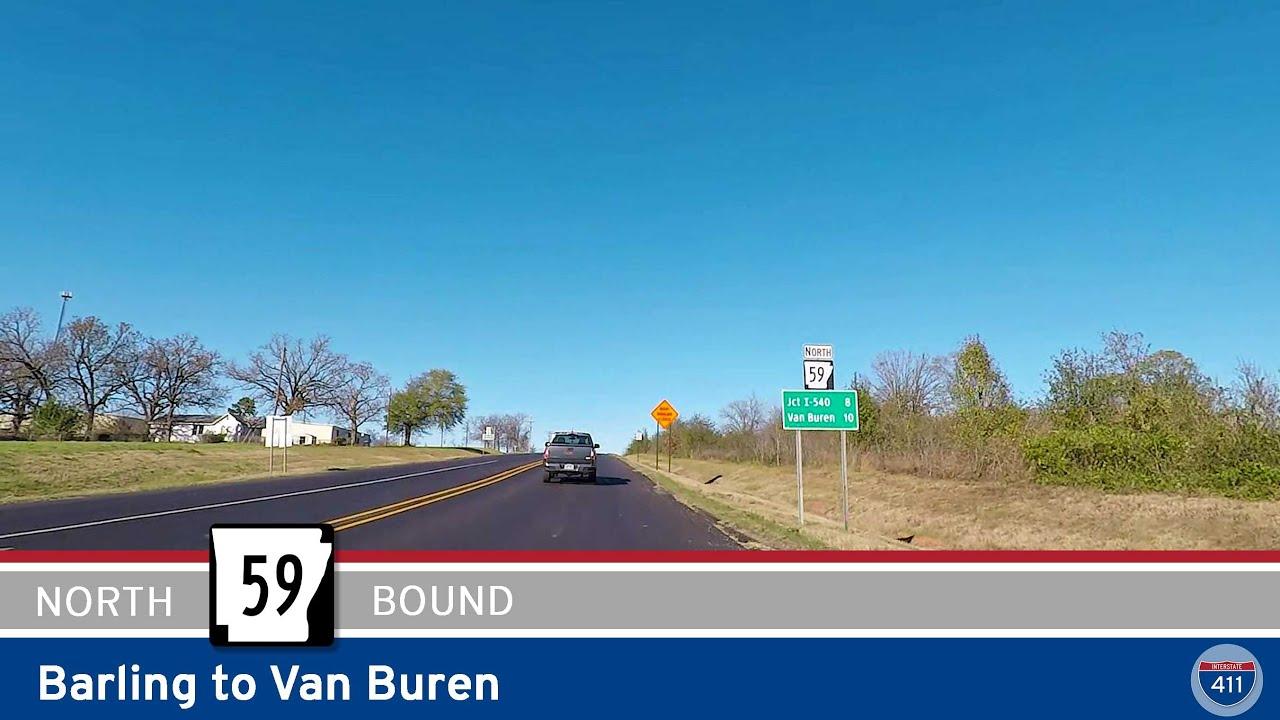 Arkansas Highway 59: Barling to Van Buren
 Interstate 49 – Fort Smith to Barling – Arkansas
 Westbound Arkansas Highway 10S – Greenwood
 Arkansas Highway 10 – Hackett to Greenwood
 Arkansas Highway 10 – Oklahoma to Hackett
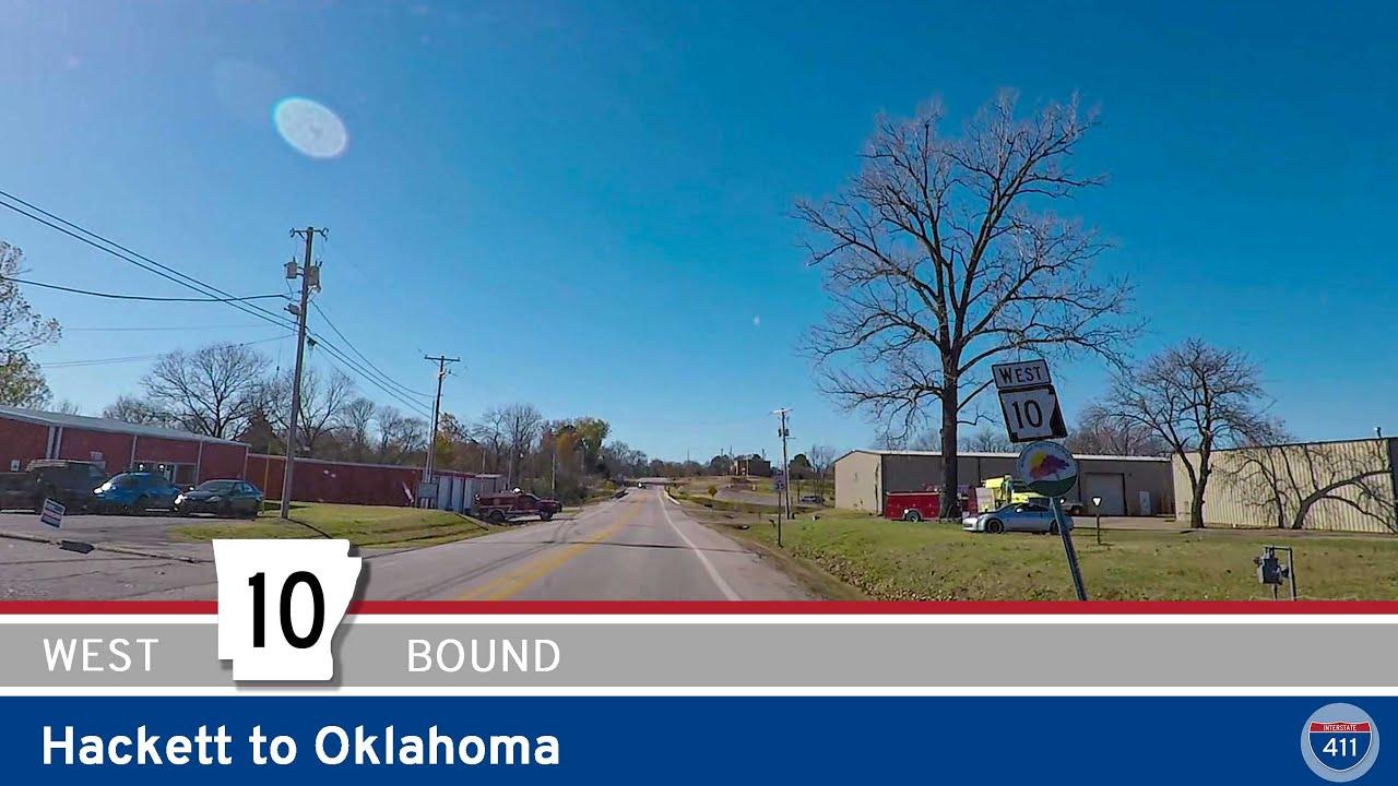 Arkansas Highway 10 – Hackett to Oklahoma
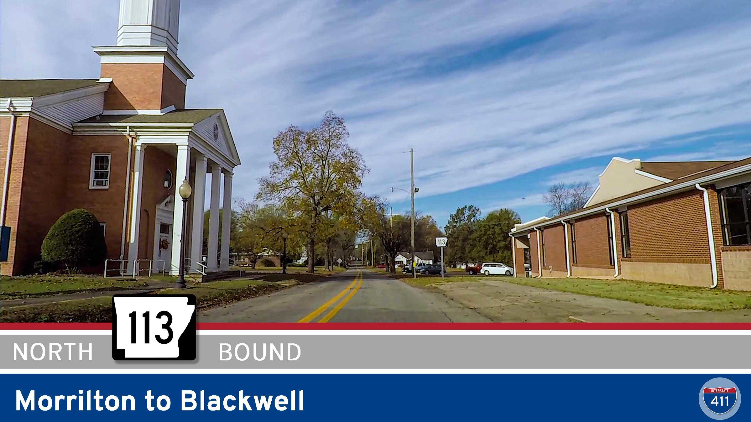 Arkansas Highway 113 – Morrilton to Blackwell
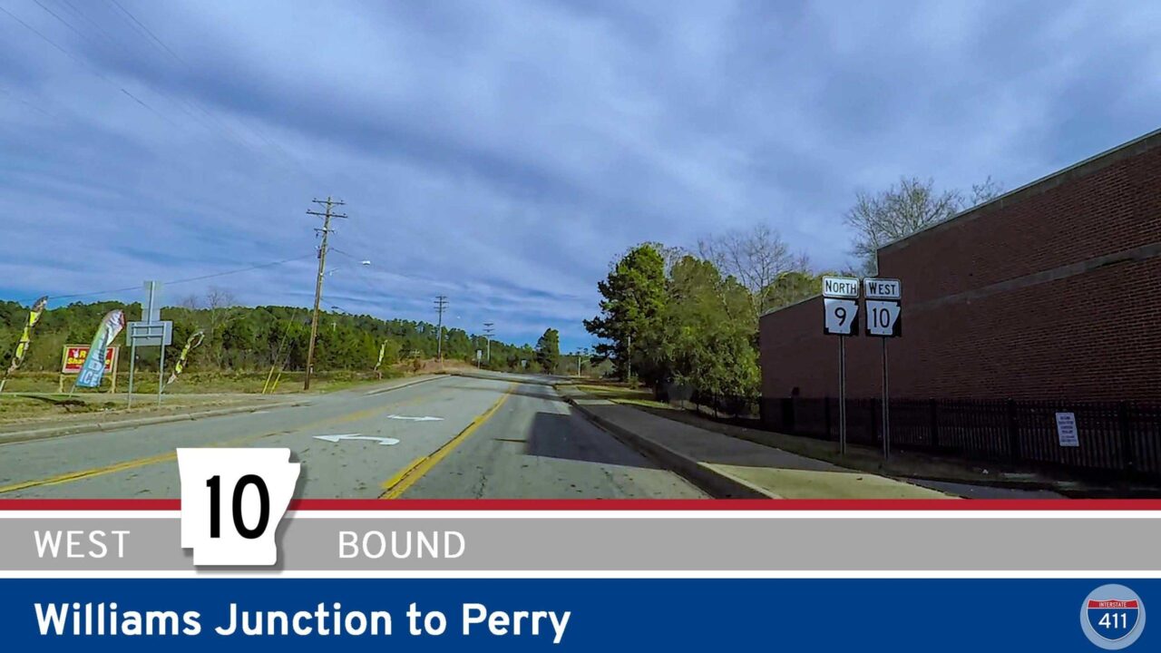 Arkansas Highway 10 – Williams Junction to Perry
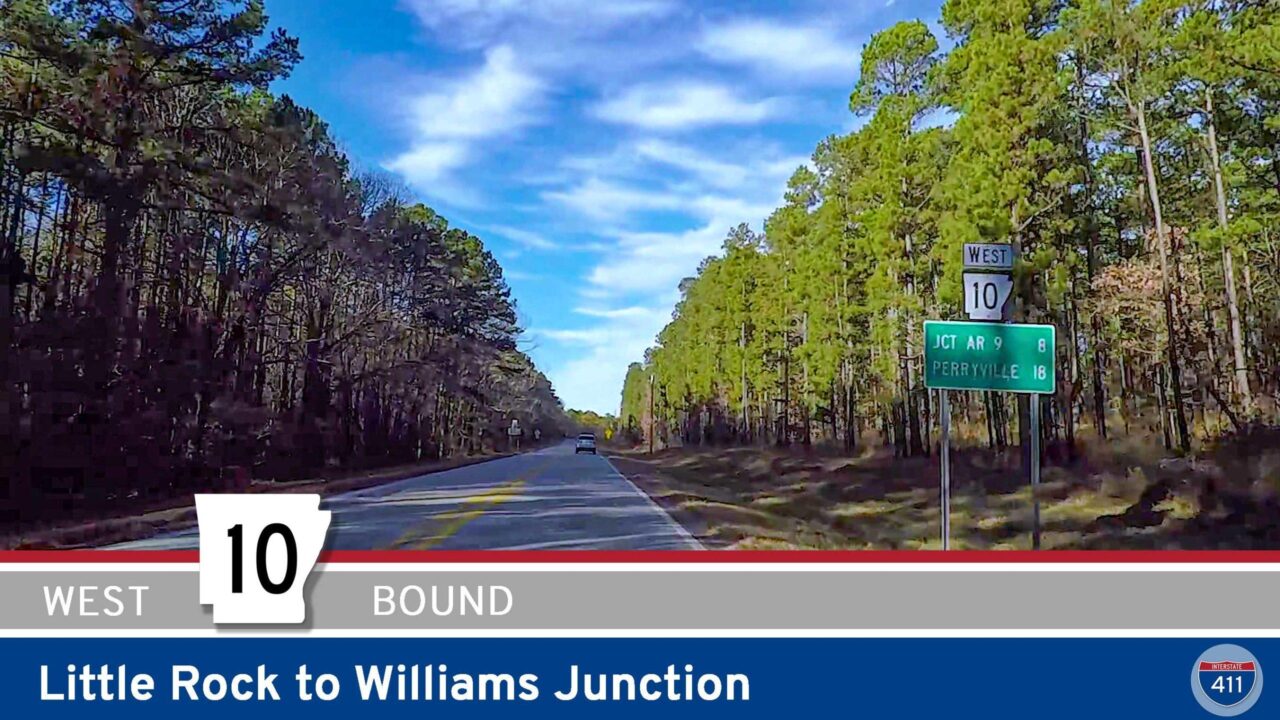 Arkansas Highway 10 – Little Rock to Williams Junction
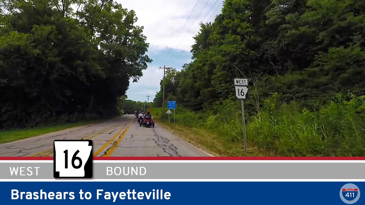 Arkansas Highway 16 – Brashears to Fayetteville
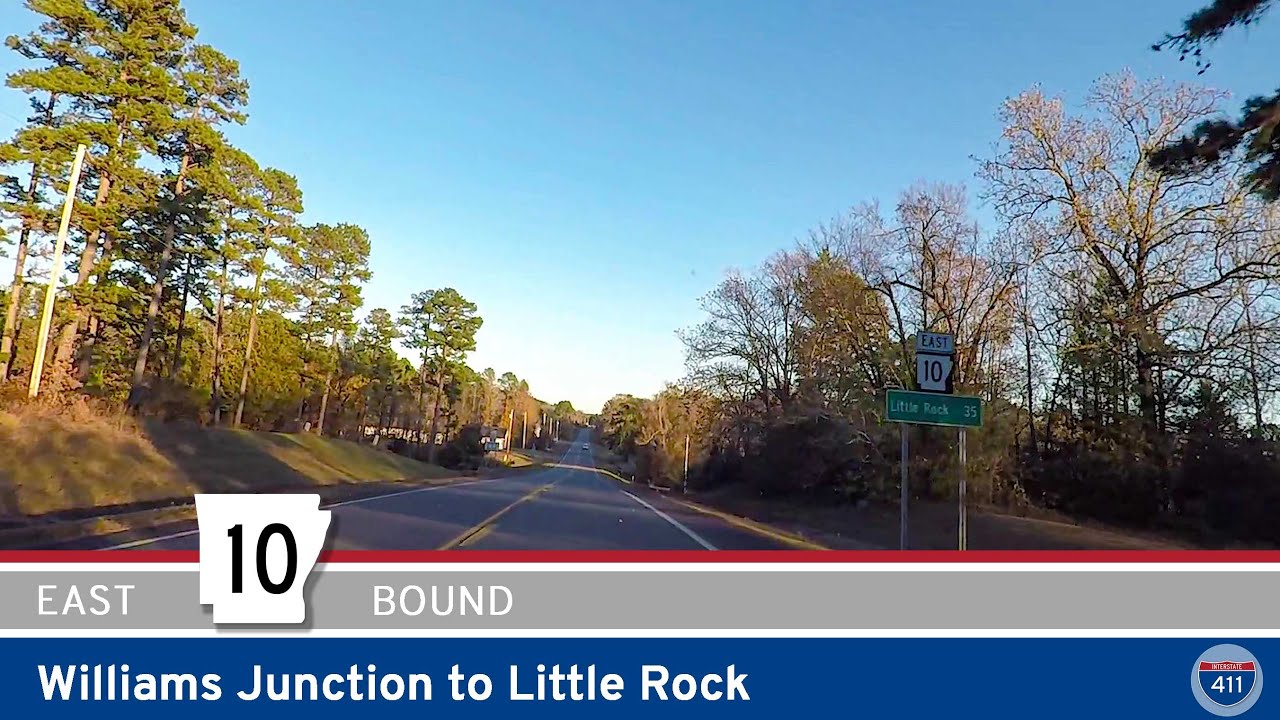 Arkansas Highway 10 – Williams Junction to Little Rock
 Arkansas Highway 10 – Booneville to Danville
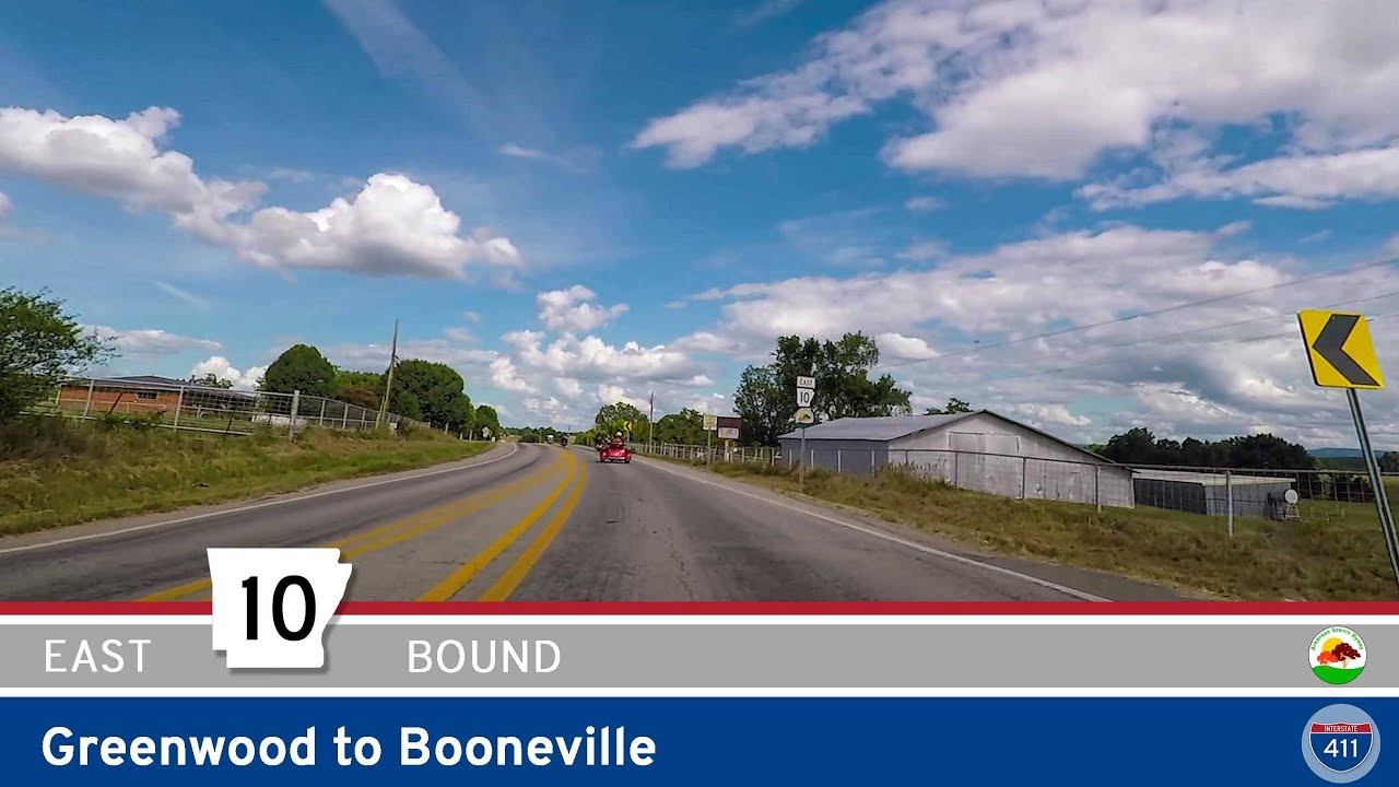 Arkansas Highway 10 – Greenwood to Booneville
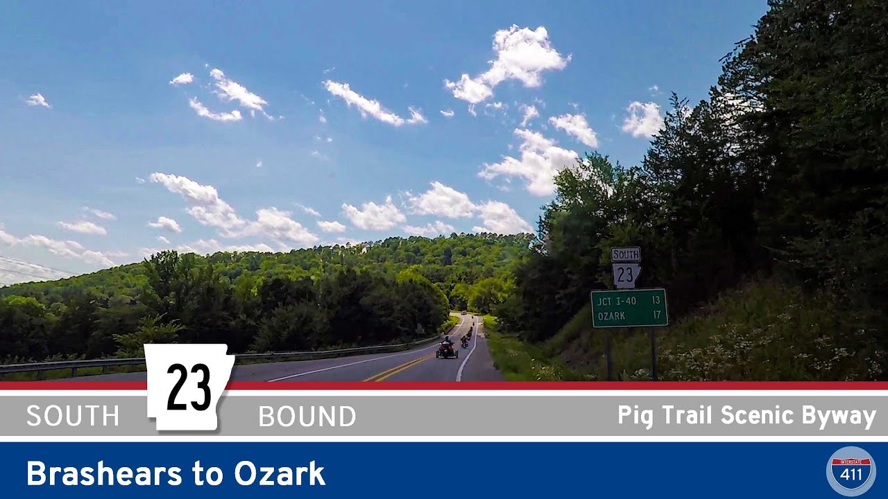 Arkansas Highway 23 – Pig Trail Scenic Byway – Brashears to Ozark
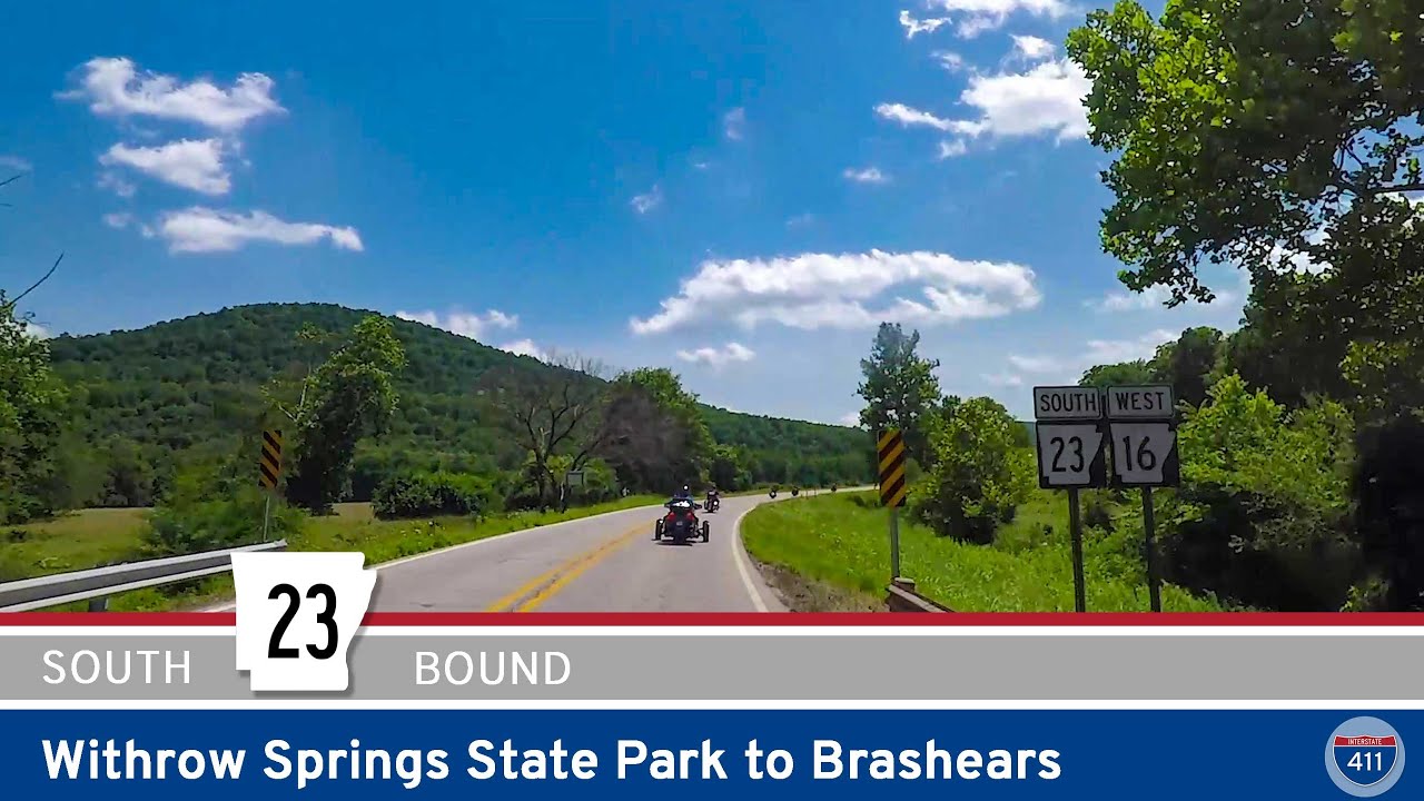 Arkansas Highway 23 – Withrow Springs State Park to Brashears
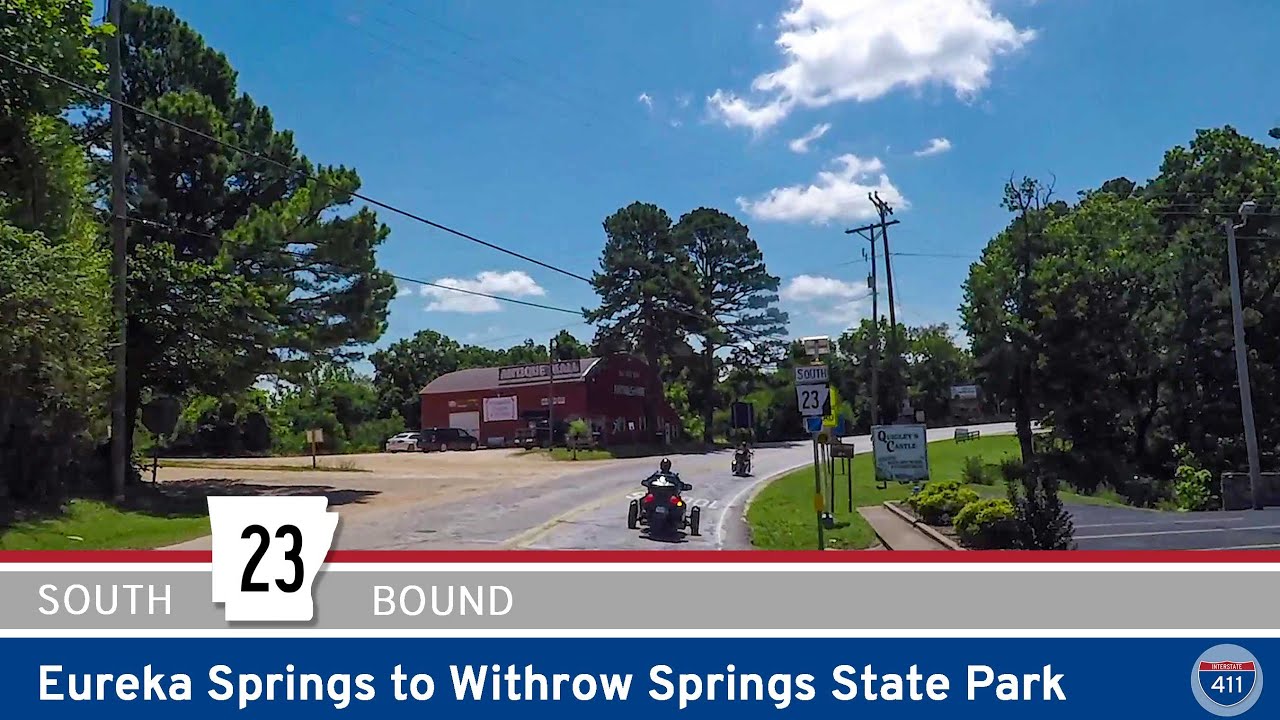 Arkansas Highway 23 – Eureka Springs to Withrow Springs State Park
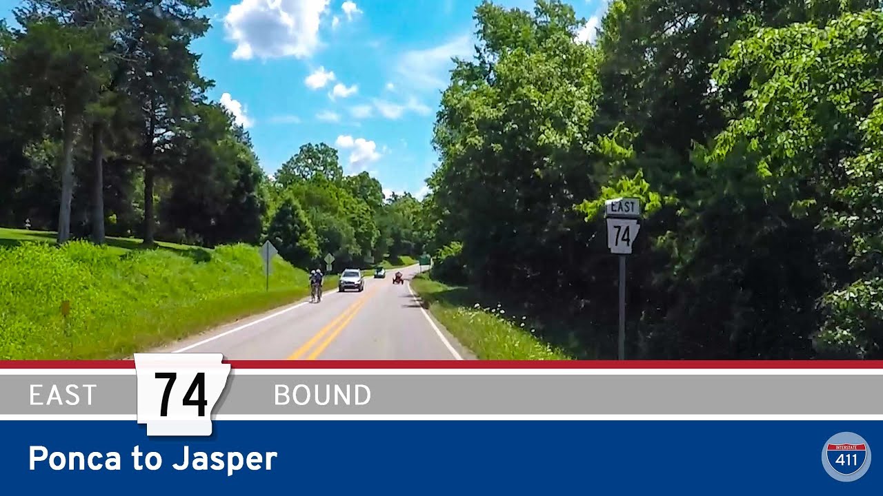 Arkansas Highway 74: Ponca to Jasper
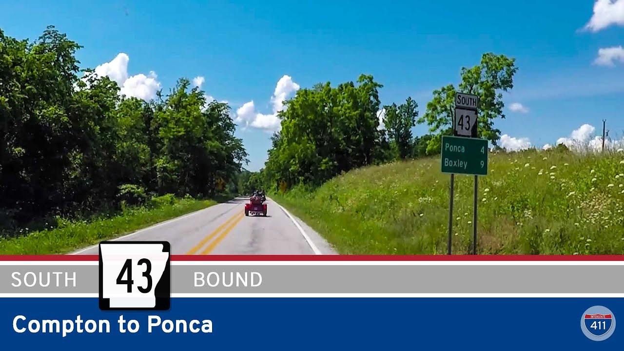 Arkansas Highway 43: Compton to Ponca
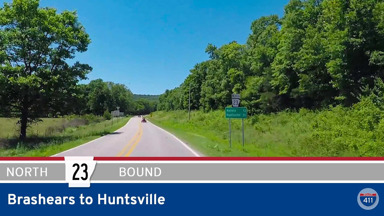 Arkansas Highway 23 – Brashears to Huntsville
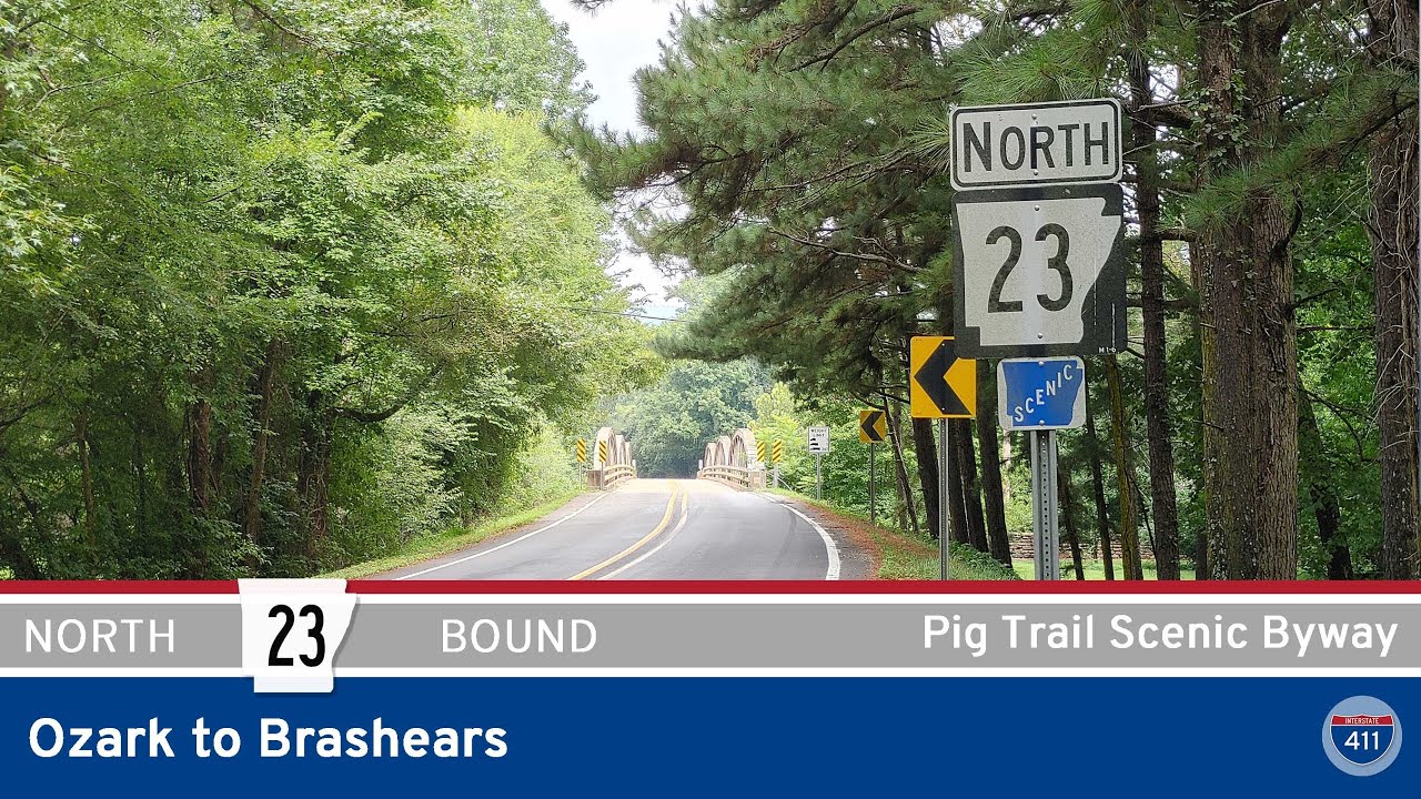 Arkansas Highway 23 – Pig Trail Scenic Byway – Ozark to Brashears
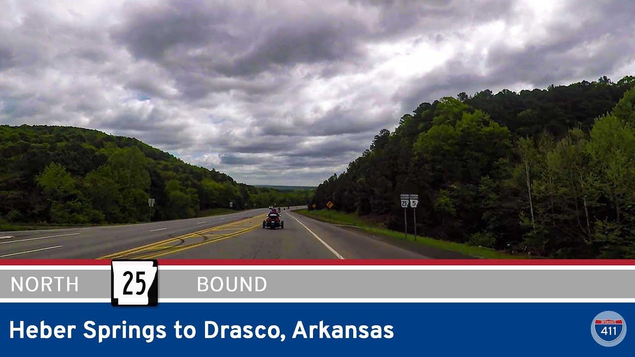 Arkansas Highway 25 – Heber Springs to Drasco
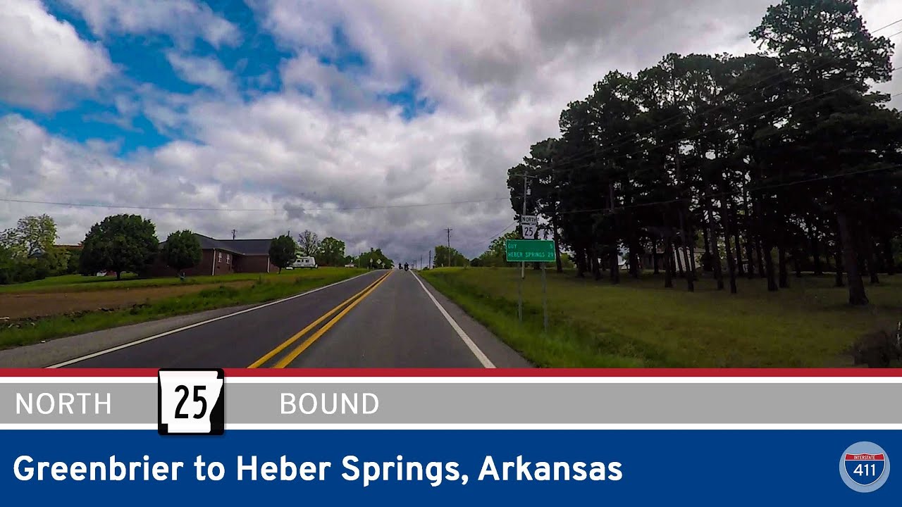 Arkansas Highway 25 – Greenbrier to Heber Springs – Arkansas
 Interstate 440 – Jacksonville to Little Rock – Arkansas
 Arkansas Highway 10 – Eastbound – Little Rock
 Arkansas Highway 15 – England to Altheimer
 Arkansas Highway 285 – Woolly Hollow State Park to Greenbrier
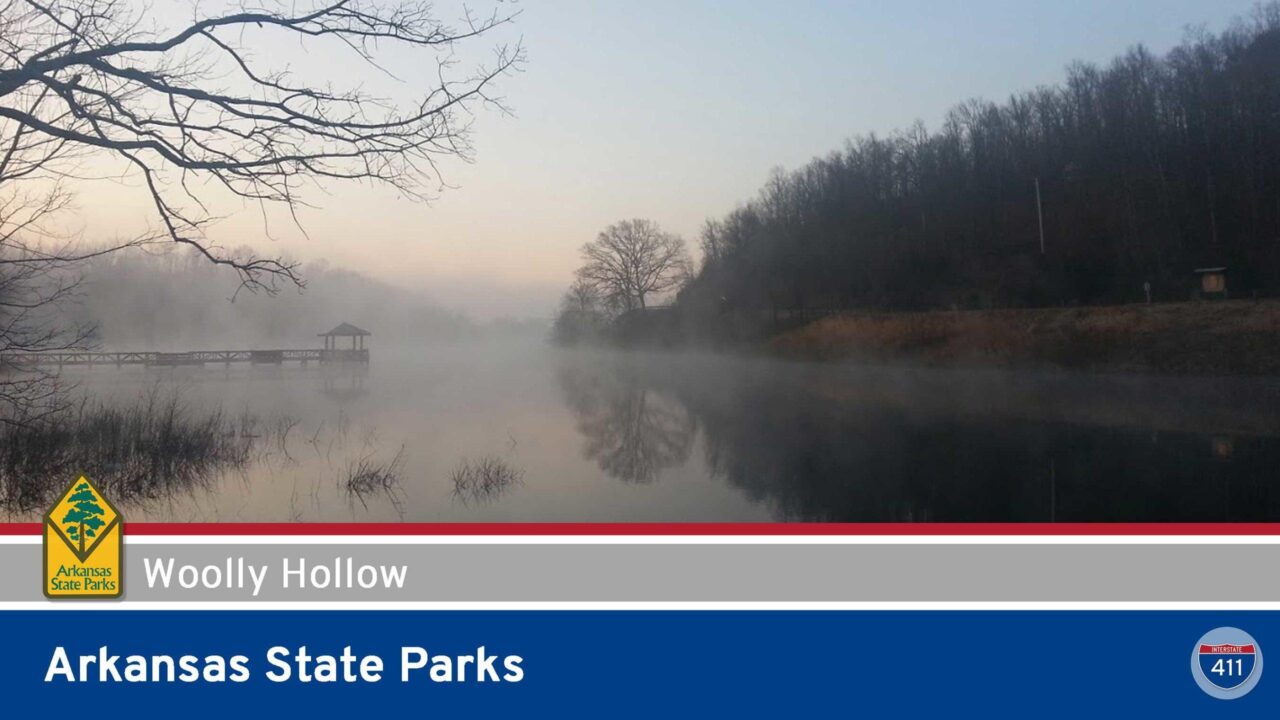 Arkansas State Parks – Woolly Hollow State Park
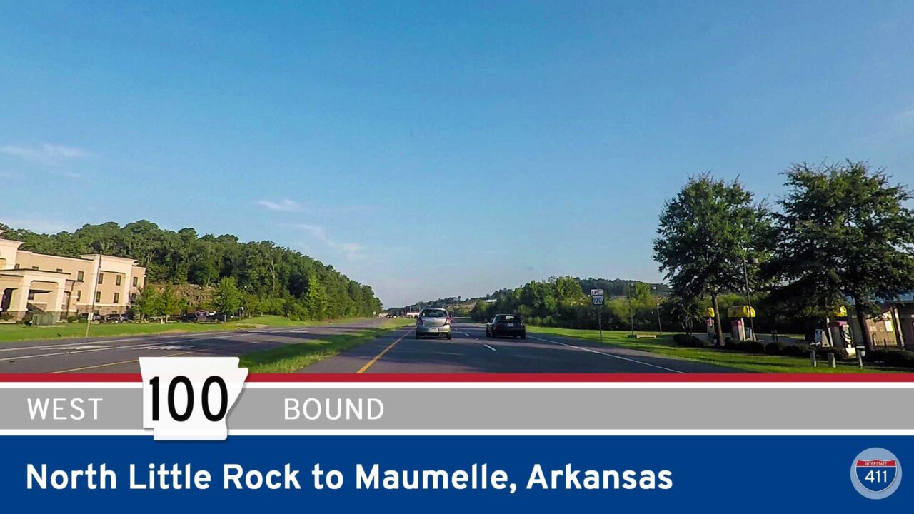 Arkansas Highway 100 – North Little Rock to Maumelle
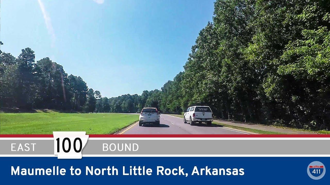 Arkansas Highway 100 – Maumelle to North Little Rock
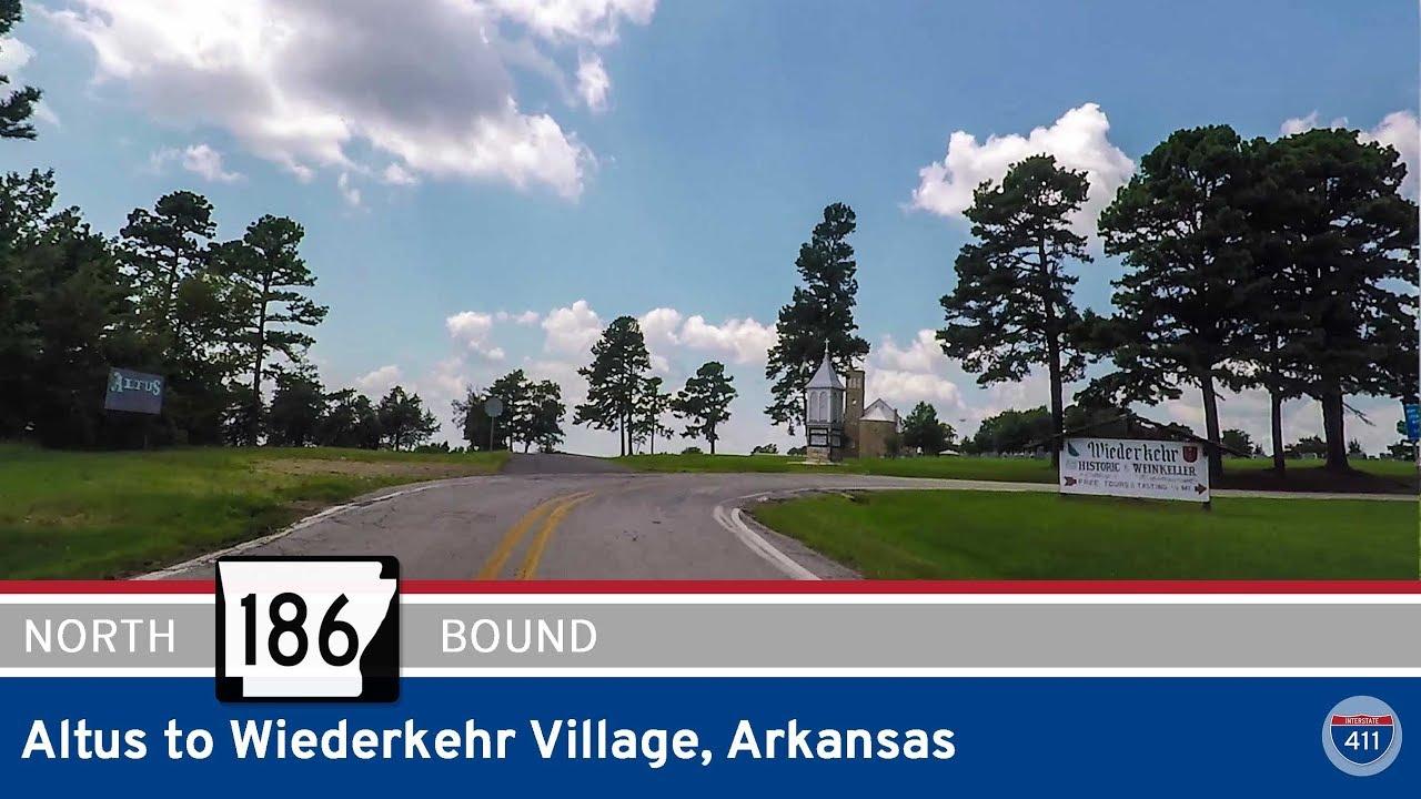 Arkansas Highway 186 – Altus to Wiederkehr Village
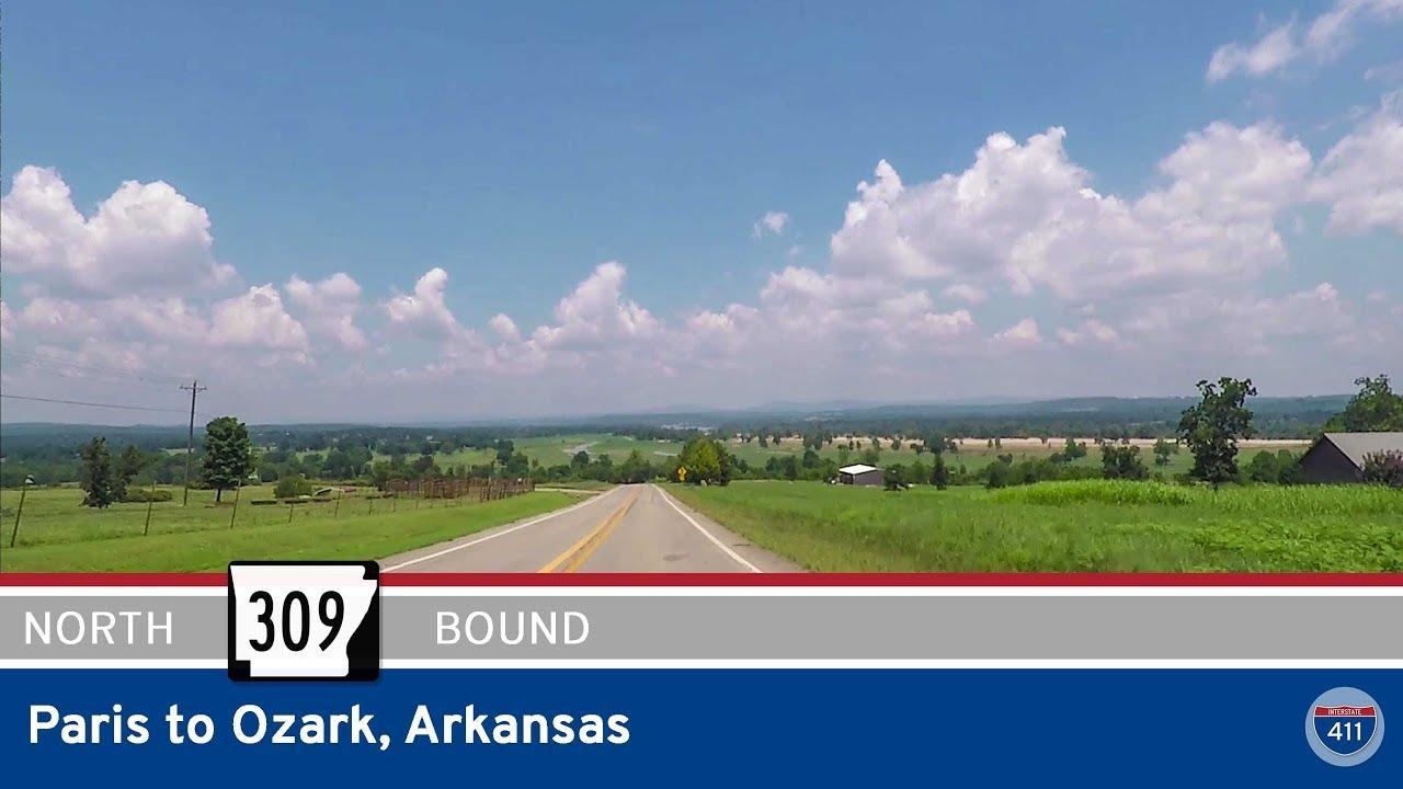 Arkansas Highway 309 – Paris to Ozark
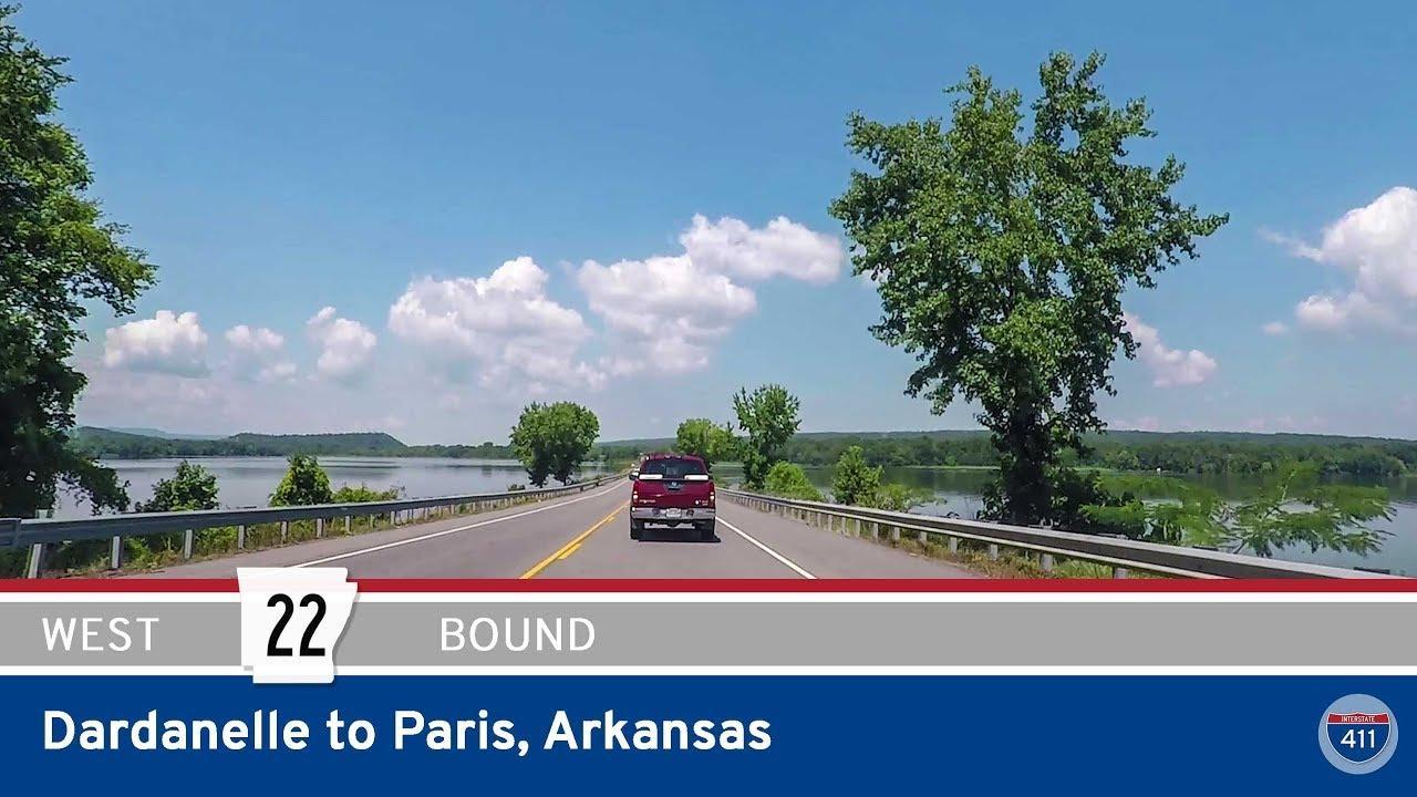 Arkansas Highway 22 – Dardanelle to Paris
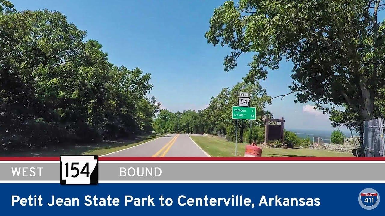 Arkansas Highway 154 – Petit Jean State Park to Centerville
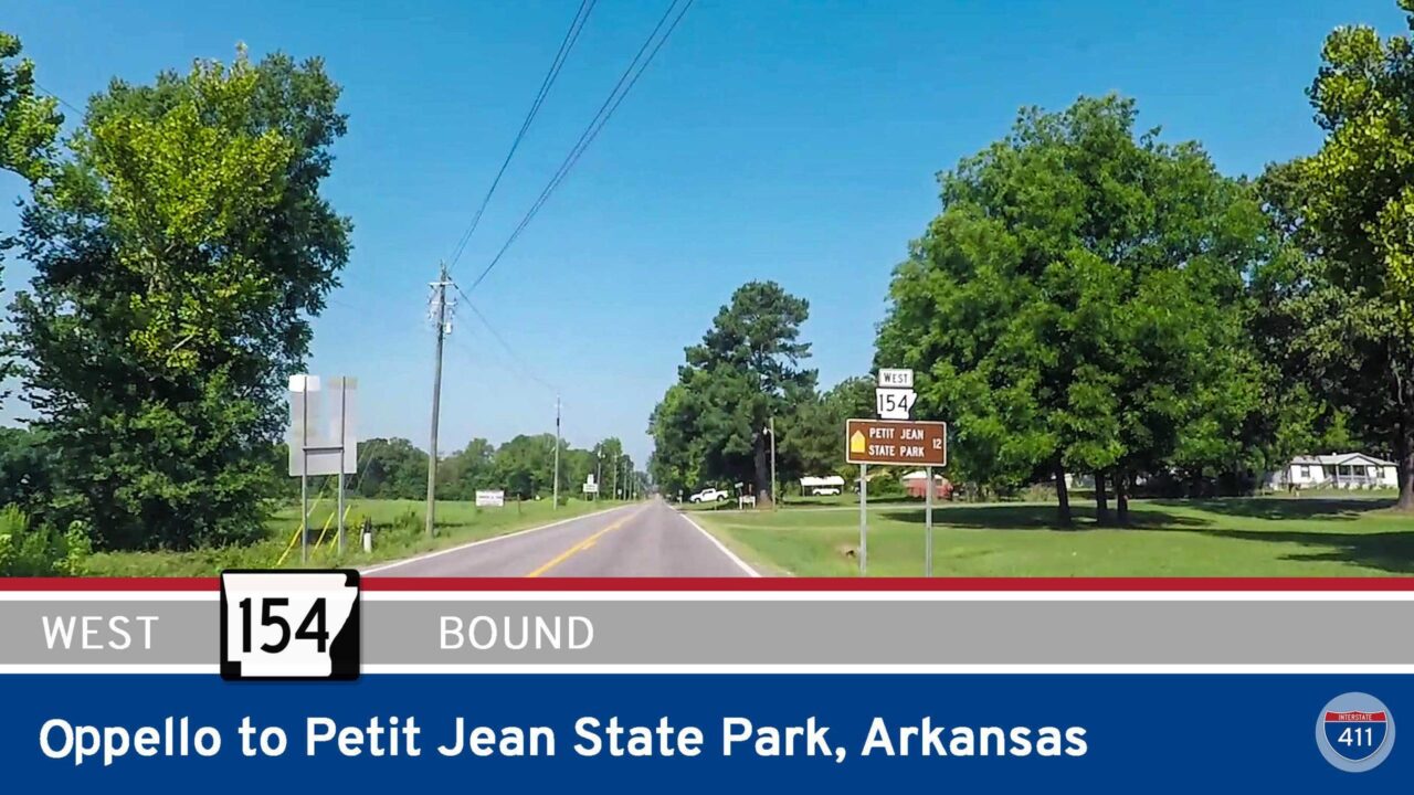 Arkansas Highway 154 – Oppello to Petit Jean State Park
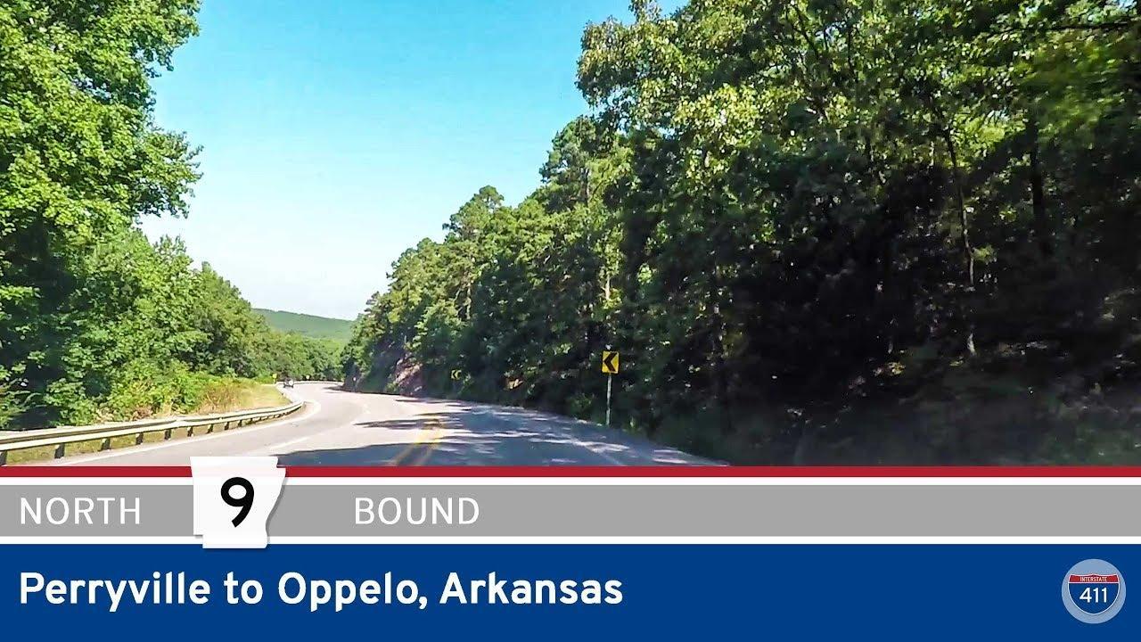 Arkansas Highway 9 – Perryville to Oppelo
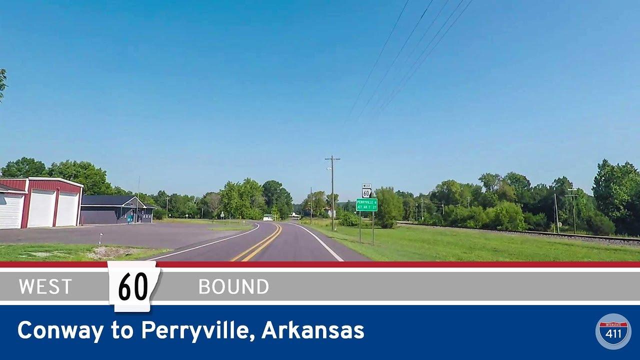 Arkansas Highway 60 – Conway to Perryville
 Arkansas Highway 89 – Mayflower to Lollie
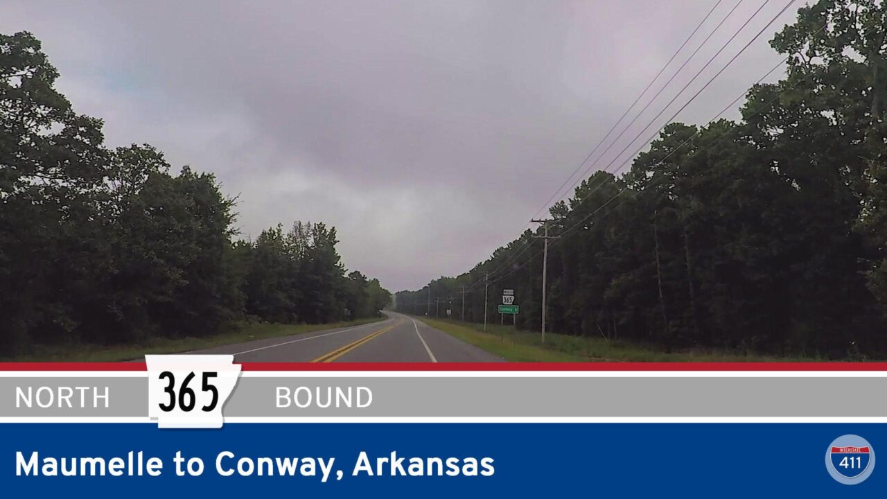 Arkansas Highway 365 – Maumelle to Conway
 Arkansas Highway 100 – Maumelle Blvd – South in Maumelle
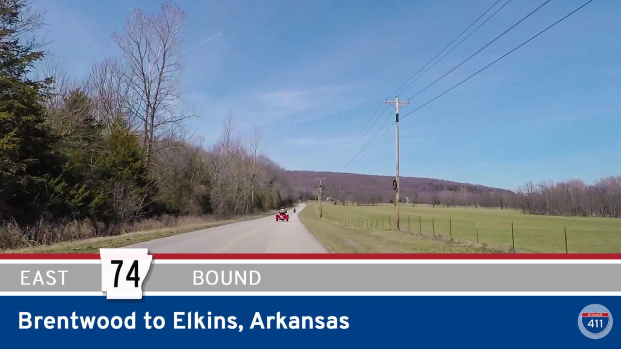 Arkansas Highway 74 – Brentwood to Elkins
 SHORT: Arkansas Highway 100 – Maumelle Blvd – Maumelle
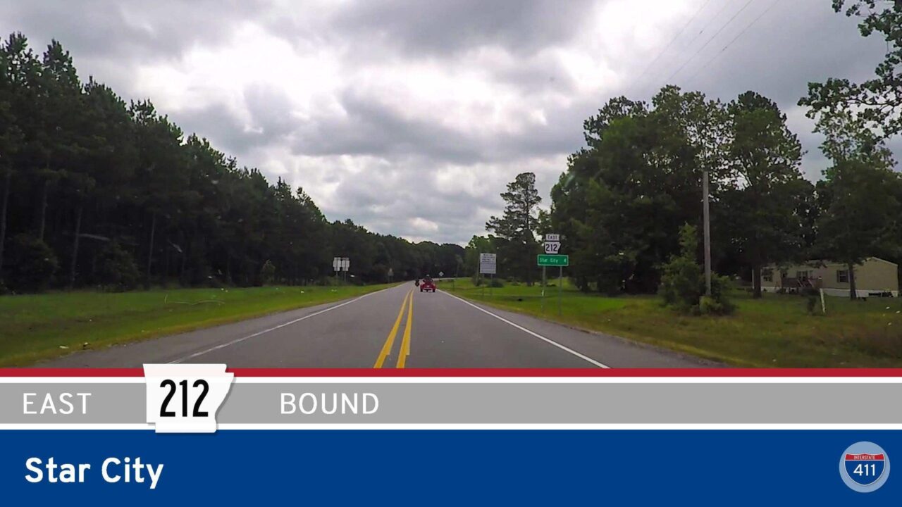 Arkansas Highway 212 in Star City
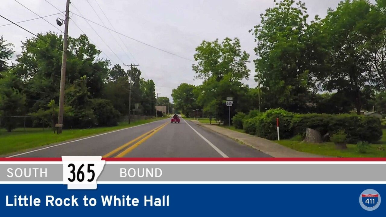 Arkansas Highway 365 – Little Rock to White Hall
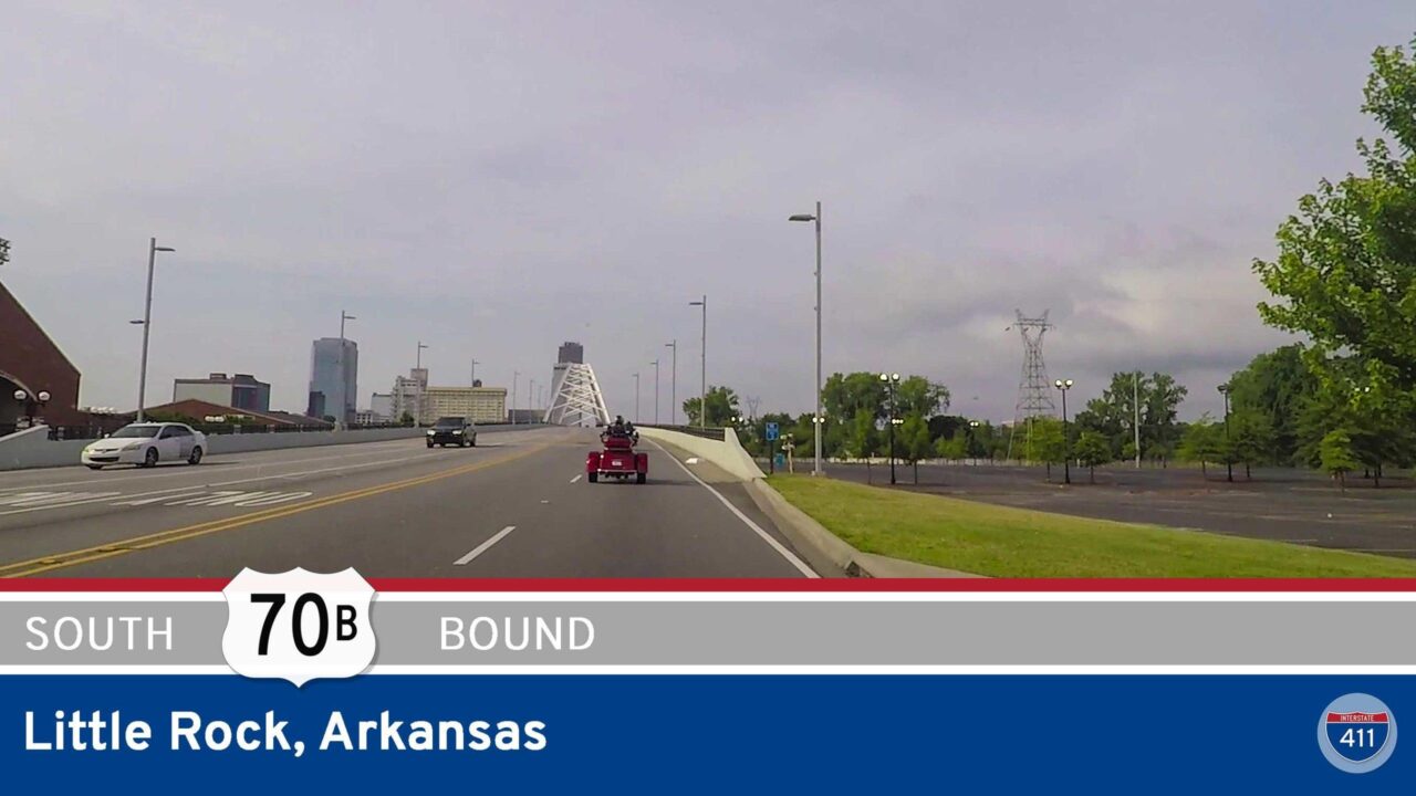 U.S. Highway 70 – Little Rock – Arkansas
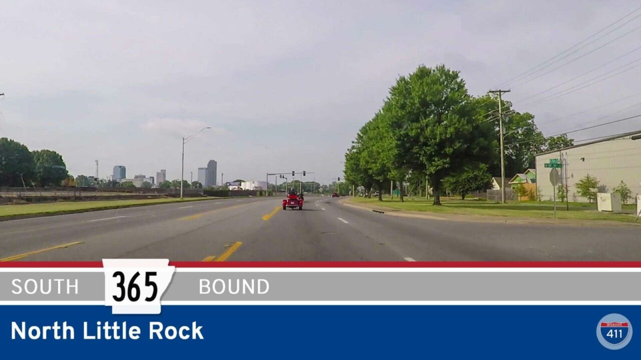 Arkansas Highway 365 – North Little Rock
 Arkansas Highway 9 – AR-46 to Princeton
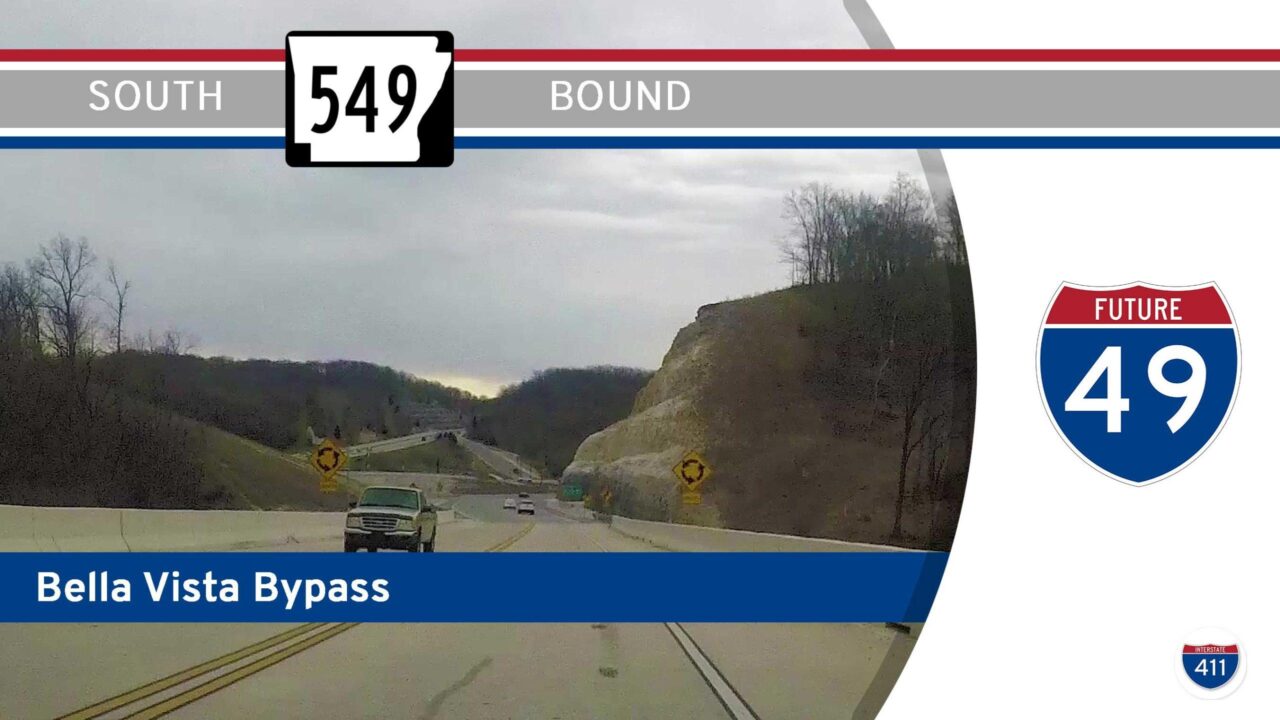 Arkansas Highway 549 – Bella Vista Bypass – South
 Arkansas Highway 549 – Bella Vista Bypass – North
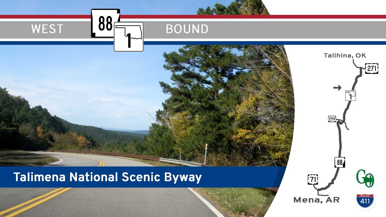 Talimena National Scenic Byway: (AR-88/OK-1) Arkansas / Oklahoma
 Arkansas Highway 10 (Cantrell Rd) – Interstate 430 NEW Entrance Ramp
 Arkansas Highway 7 – Arkansas Aveneue in Russellville
 Arkansas Highway 7 – Lake Nimrod to Russellville
 Arkansas Highway 7 – Iron Springs Park to Lake Nimrod
 Arkansas Highway 7 – Hot Springs to Iron Springs Park
 Arkansas Highway 7 in Hot Springs
 Arkansas Highway 7 – Bismark to Hot Springs
 Arkansas Highway 7 – Arkadelphia – Bismark
 Arkansas Highway 7 – Mt Olive – Arkadelphia
 Arkansas Highway 8 – Princeton – Mt Olive
 Arkansas Highway 46 – Jenkins Ferry SP to AR Highway 9
 Arkansas Highway 46 – Sheridan – Jenkins Ferry State Park
 Arkansas Highway 23 – Eureka Springs – Missouri State Line
 Arkansas Highway 530 – AR highway 114 – Interstate 530
 Arkansas Highway 10 (Cantrell Rd) from Downtown Little Rock to Mississippi Ave
 Arkansas Highway 5 – El Paso to Rosebud
 Arkansas Highway 5 – Cabot to El Paso
 Arkansas Highway 293 – U.S. Highway 425 – Cane Creek
 Arkansas Highway 367 – U.S. Highway 167 – AR Highway 338
 Arkansas Highway 16 – Searcy to Albion
 Arkansas Highway 310 – Sidon – Arkansas Highway 36
 Arkansas Highway 36 – Arkansas Highway 310 – Rosebud
 Arkansas Highway 338 – Interstate 530 – Arkansas Highway 365
 Arkansas Highway 365 – Redfield – White Hall
 Arkansas Highway 367 – Little Rock to East End
 Arkansas Highway 338 – Interstate 530 – Arkansas Highway 367
 Arkansas Highway 338 – Baseline Rd – Arch St to Interstate 30
 Arkansas Highway 310 – AR16 – Letona
 Arkansas Highway 310 – Letona – Sidon
 Arkansas Highway 310 from Sidon to Arkansas Highway 36
 Arkansas Highway 36 West to Arkansas 5 South
 Arkansas Highway 440 – North Little Rock to Jacksonville