Drive America’s Highways for 9 miles west along Arkansas Highway 10 from Danville to Havana, Arkansas.

Arkansas Highway 10, also known as Highway 10, is a scenic and historic drive that traverses the heart of The Natural State. Beginning at the Oklahoma border, Highway 10 winds its way through the Ouachita Mountains, passing through charming towns, lush forests, and rolling hills. The highway also offers glimpses of Arkansas’s rich history, with sites such as Fort Chaffee and the Old Sebastian County Jail.
As you enter Arkansas on Highway 10, you’ll immediately be struck by the beauty of the surrounding landscape. The road winds through rolling hills and dense forests, with occasional glimpses of the Ouachita Mountains in the distance. One of the first towns you’ll pass through on Highway 10 is Hackett, Arkansas. From Hackett, the highway continues east to Greenwood, Arkansas. Greenwood is a larger town with a variety of amenities, including restaurants, and shopping. The town is also home to the Old Sebastian County Jail, which is listed on the National Register of Historic Places.
After Greenwood, Highway 10 continues east through the Ouachita Mountains. This stretch of the highway is particularly scenic, with winding roads and breathtaking views of the surrounding mountains and valleys. One of the most popular stops along Highway 10 is Fort Chaffee. Fort Chaffee is a former military base that is now used as a training facility for the National Guard and Army Reserve. The base is also home to a variety of museums and historical exhibits, as well as a large outdoor recreation area.
From Fort Chaffee, Highway 10 continues east to Little Rock, the capital of Arkansas. As you approach Little Rock, the landscape becomes more urban, with businesses and homes lining the highway. However, even in the heart of the city, Highway 10 offers glimpses of nature, with trees and shrubs lining the roadside.
The drive along Arkansas State Route 10 is a must-do for any road enthusiast. The highway offers a variety of scenic views, historic sites, and outdoor recreation opportunities. Whether you’re looking for a relaxing drive or an adventure-filled day, Highway 10 has something to offer everyone.
Drive America’s Highways for 9 miles west along Arkansas Highway 10 from Danville to Havana, Arkansas.

Drive America’s Highways for 11 miles west along Arkansas Highway 10 from Ola to Danville
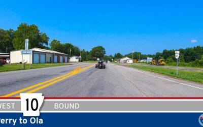
Drive America’s Highways for 25 miles west along Arkansas Highway 10 from Perry to Ola.
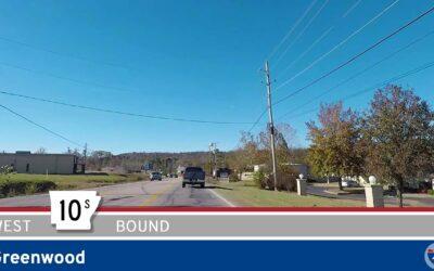
🚙 Drive America’s Highways for 3 miles west along Arkansas Highway 10S in Greenwood.
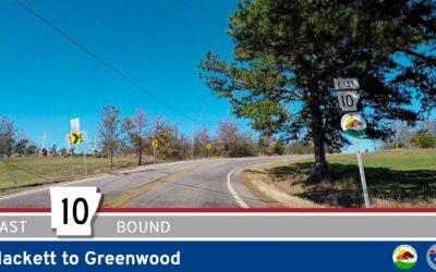
Drive America Highways for 10 miles east along Arkansas Highway 10 from Hackett to Greenwood.
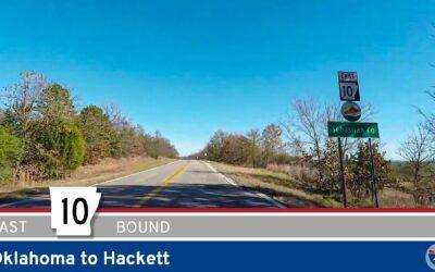
Drive America Highways for 1.5 miles east along Arkansas Highway 10 from Oklahoma to Hackett.
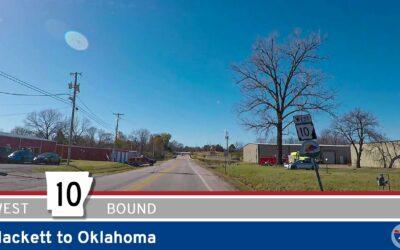
Drive America Highways for 1.5 miles west along Arkansas Highway 10 from Hackett to Oklahoma.
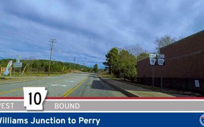
Drive America’s Highways for 14 miles west along Arkansas Highway 10 from Williams Junction to Perry.
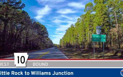
Drive America’s Highways for 19 miles west along Arkansas Highway 10 from Little Rock to Williams Junction.