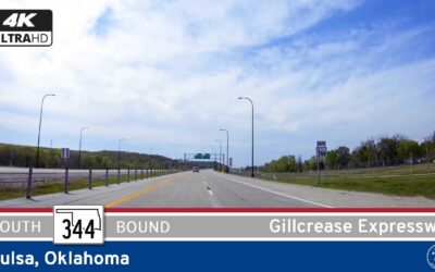
Take a scenic drive along Oklahoma Highway 344—the Gilcrease Expressway in Tulsa. Discover this short but vital bypass linking U.S. 412/64 with Interstate 44, offering smooth travel, serene landscapes, and strategic connectivity on Tulsa’s northwest side.
State Highways
State highways are the primary and secondary roads that link cities within a state. Each state is responsible for route numbering and layout, so routes can vary from state to state.
The default marker for state highways is a white circle with a black number, but each state is free to choose a different marker. Many states have chosen a design theme relevant to the state, such as an outline of the state itself, to distinguish state route markers from interstate, county, or municipal route markers.
State highways are an important part of the transportation system in the United States. They provide a way for people to travel between cities and towns, and they also help to connect rural areas to the rest of the country.
Our State Highway Videos
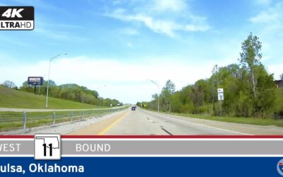
Oklahoma Highway 11: Tulsa – Gillcrease Expy – Westbound
Cruise westbound on Oklahoma Highway 11—Tulsa’s Gillcrease Expressway—for a smooth eight-mile bypass that links I-244 with the Tisdale Parkway, offering quick airport access and an efficient detour through the city’s north side.
Oklahoma Highway 11: Tulsa – Eastbound
Experience Oklahoma Highway 11 eastbound through Tulsa—a fast, efficient route linking U.S. 75 and I-244, with direct access to Tulsa International Airport. See how this modern urban corridor keeps the city connected, from neighborhood entrances to the heart of Tulsa’s interstate system.
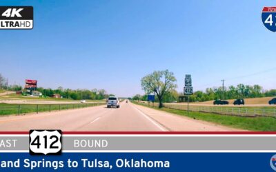
U.S. Route 412: Sand Springs to Tulsa – Oklahoma
Drive America’s Highways for 14 miles east along U.S. Highway 412 from Sand Springs to Tulsa, Oklahoma
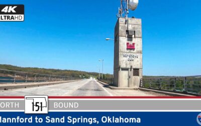
Oklahoma Highway 151: Mannford to Sand Springs
Drive America’s Highways for 3 miles north along Oklahoma Highway 151 from Mannford to Sand Springs, Oklahoma
Oklahoma Highway 51: Stillwater to Mannford
Watch as we Drive America’s Highways for 44 miles east along Oklahoma Highway 51 from Stillwater to Mannford 🛣️
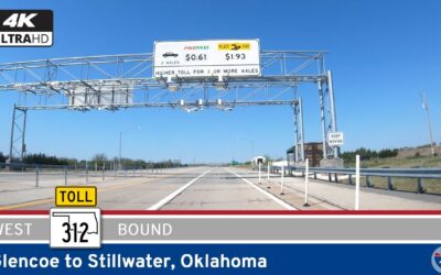
Oklahoma Highway 312: Glencoe to Stillwater
Watch as we Drive America’s Highways for 9 miles west along Oklahoma Highway 312 from Glencoe to Stillwater, Oklahoma
Arkansas Highway 287: Greenbrier to Holland
See America’s Highways as we ride 12 miles south along Arkansas Highway 287 from Greenbrier to Holland
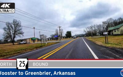
Arkansas Highway 25: Wooster to Greenbrier
See America’s Highways as we ride for 5 miles north along Arkansas Highway 25 from Wooster to Greenbrier.


