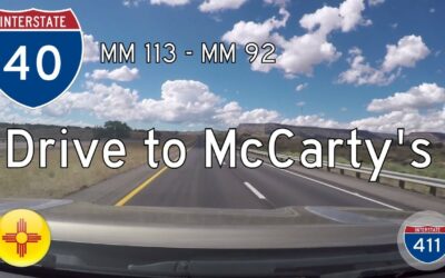
Drive America’s Highways for 21 miles west along Interstate 40 in New Mexico from mile marker 113 outside of Laguna to McCarty’s at mile marker 92.
Interstate Highways
Interstate Highway System: The Most Important Road Network in the United States
The Interstate Highway System is a network of controlled-access highways in the United States. The original Interstate network was completed in 1986, but it has since grown to include an additional 48,000 miles of road.
Interstate Highways are important for a number of reasons. They help to improve transportation efficiency, reduce traffic congestion, and boost economic growth. They also play a vital role in national defense, as they can be used to quickly move troops and supplies in the event of a crisis.
Most states use a standard mileage system, with 0 miles starting at the west or south termini and increasing as you travel east or north. Odd-numbered highways travel north and south, while even-numbered highways travel east and west. Interstates with low numbers are in the south and the west, while higher numbers are in the north and east. Three-digit Interstate Highways are loops or spurs of a mainline Interstate Highway. Even-digit highways connect to an Interstate at both termini or form a loop around a location. Odd-numbered three-digit highways connect to one Interstate and are spur routes.
We have a large collection of videos of Interstate Highways. For the most part, our videos are labeled with the route name followed by the starting point and the end point along with the state in which the video was taken. In some cases, a video crosses state lines and we note that in the title of the video as well.
Our Interstate Highway Routes
Interstate Highway Videos
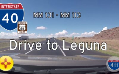
Interstate 40 – Mile 131 – Mile 113 – New Mexico
America’s Highways for 18 miles west along Interstate 40 in New Mexico from mile marker 131 to mile marker 113 in Leguna
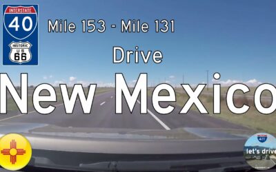
Interstate 40 – Mile 153 – Mile 131 – New Mexico
America’s Highways for 22 miles west along Interstate 40 in New Mexicofrom Exit 153 just west of Albuquerque to mile marker 131.
Interstate 40 – Mile 158 – Mile 153 – New Mexico
America’s Highways for 5 miles west along Interstate 40 in Albuquerque, New Mexicofrom the 12th Street interchange to Exit 153 – 98th Street.
Interstate 40 – Moriarty to Tijeras – New Mexico
America’s Highways for 20 miles west along I-40 in New Mexico from Moriarty to Tijeras.
Interstate 30 – Mile 129 – Mile 138 – Arkansas
Drive America’s Highways east for 9 miles along Interstate 30 in the southern neighborhoods of Little Rock.
Interstate 40 – Mile 215 – Mile 196 – New Mexico
America’s Highways for 19 miles west along I-40 in New Mexico from mile marker 215 just west of Clines Corner to Exit 196 in Moriarty.
Interstate 40 – Mile 234 – Mile 215 – New Mexico
America’s Highways for 19 miles west along Interstate 40 in New Mexico from Exit 234 to mile marker 215 just west of Clines Corner and the interchange with U.S. Highway 285.
Interstate 40 – Mile 241 – Mile 234 – New Mexico
Drive America’s Highways for 7 miles in eastern New Mexico along Interstate 40 from mile marker 241 to exit 234.


