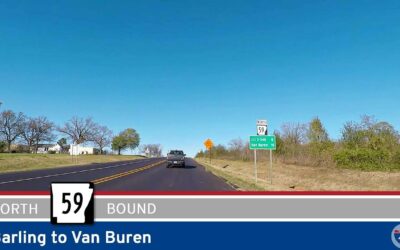
Drive America’s Highways for 10 miles north along Arkansas Highway 59 from Barling to Van Buren.
State highways are the primary and secondary roads that link cities within a state. Each state is responsible for route numbering and layout, so routes can vary from state to state.
The default marker for state highways is a white circle with a black number, but each state is free to choose a different marker. Many states have chosen a design theme relevant to the state, such as an outline of the state itself, to distinguish state route markers from interstate, county, or municipal route markers.
State highways are an important part of the transportation system in the United States. They provide a way for people to travel between cities and towns, and they also help to connect rural areas to the rest of the country.
 Alabama
  Arizona
  Arkansas
  California
  Colorado
  Indiana
  Kansas
  Kentucky
  Louisiana
 Maine
Maine  Mississippi
  Missouri
  New Mexico
 Ohio
Ohio  Oklahoma
 South Dakota
  Tennessee
 Texas
Texas  Utah
Utah Drive America’s Highways for 10 miles north along Arkansas Highway 59 from Barling to Van Buren.

Drive America’s Highways for 6 miles north along Future Interstate 49 from Fort Smith to Barling in Arkansas.
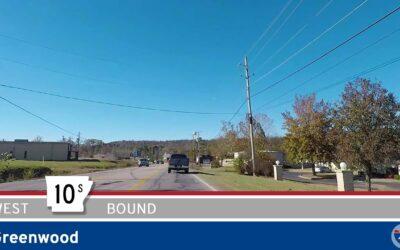
🚙 Drive America’s Highways for 3 miles west along Arkansas Highway 10S in Greenwood.
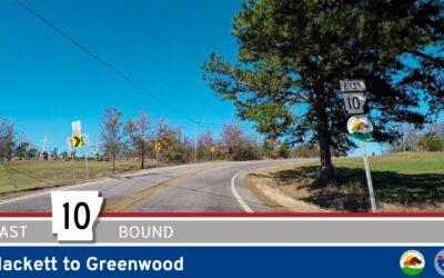
Drive America Highways for 10 miles east along Arkansas Highway 10 from Hackett to Greenwood.
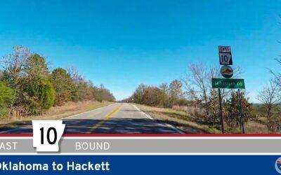
Drive America Highways for 1.5 miles east along Arkansas Highway 10 from Oklahoma to Hackett.
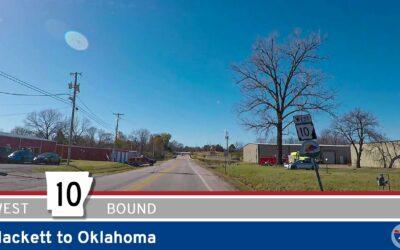
Drive America Highways for 1.5 miles west along Arkansas Highway 10 from Hackett to Oklahoma.
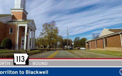
Drive America’s Highways for 8 miles north along Arkansas Highway 113 from Morrilton to Blackwell.
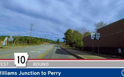
Drive America’s Highways for 14 miles west along Arkansas Highway 10 from Williams Junction to Perry.
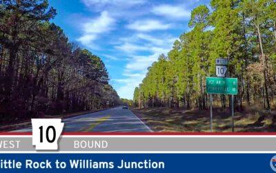
Drive America’s Highways for 19 miles west along Arkansas Highway 10 from Little Rock to Williams Junction.