Drive America’s Highways for 11 miles north along Missouri Route 125 from Arkansas to Rueter
![Missouri Route 125: Arkansas to Rueter [Revisited]](https://interstate411.us/wp-content/uploads/2022/09/q_lhj1kgpuimaxresdefault-400x250.jpg)
State highways are the primary and secondary roads that link cities within a state. Each state is responsible for route numbering and layout, so routes can vary from state to state.
The default marker for state highways is a white circle with a black number, but each state is free to choose a different marker. Many states have chosen a design theme relevant to the state, such as an outline of the state itself, to distinguish state route markers from interstate, county, or municipal route markers.
State highways are an important part of the transportation system in the United States. They provide a way for people to travel between cities and towns, and they also help to connect rural areas to the rest of the country.
 Alabama
  Arizona
  Arkansas
  California
  Colorado
  Indiana
  Kansas
  Kentucky
  Louisiana
 Maine
Maine  Mississippi
  Missouri
  New Mexico
 Ohio
Ohio  Oklahoma
 South Dakota
  Tennessee
 Texas
Texas  Utah
Utah Drive America’s Highways for 11 miles north along Missouri Route 125 from Arkansas to Rueter

Drive America’s Highways for 6 miles east along Arkansas Highway 268 from Lead Hill to Peel

Drive America’s Highways for 4 miles north along scenic Arkansas Highway 7 from Lead Hill to Diamond City.
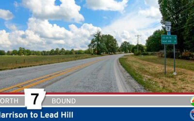
Drive America’s Highways for 19 miles north along scenic Arkansas Highway 7 from Harrison to Lead Hill.

Drive America’s Highways for 11 miles east along Arkansas Highway 392 in Harrison.

Drive America’s Highways for 1.5 miles south along Arkansas Highway 7S in Gulpha Gorge – Hot Springs National Park.

Drive America’s Highways for 27 miles south along Arkansas Highway 5 from Benton to Fountain Lake


Drive America’s Highways for 9 miles east along Missouri State Route 76 from Cape Fair to Reeds Spring.