Explore U.S. Route 51 Dyersburg to Union City, Tennessee, on a 28-mile drive through farmland, historic railroad towns, and scenic northwest Tennessee.


The 🌾 Farmland tag identifies routes that pass through active agricultural areas, where fields, silos, barns, and tractors are common sights. These roads often wind through rural communities and showcase the day-to-day life of America’s working landscapes—whether it's rows of corn, wheat, soybeans, or pastureland dotted with livestock.
Travelers on farmland-tagged routes can expect a slower pace and a direct look at the country’s agricultural backbone. These drives frequently intersect with small towns, local markets, and seasonal roadside stands offering fresh produce or handmade goods.
Explore U.S. Route 51 Dyersburg to Union City, Tennessee, on a 28-mile drive through farmland, historic railroad towns, and scenic northwest Tennessee.

Drive Interstate 155 from Hayti, Missouri to Dyersburg, Tennessee, crossing the Mississippi River on the historic Caruthersville Bridge.

Drive U.S. Route 412 from Kennett to Hayti Heights, Missouri, across 14 miles of Bootheel farmland, wetlands, and the Little River corridor.

Drive U.S. Route 412 from Paragould, Arkansas to Kennett, Missouri, crossing the St. Francis River through the farmland of the Missouri Bootheel.

Drive U.S. Route 412 from Walnut Ridge to Paragould, Arkansas, across Delta farmland, through the Light bypass, and over Crowley’s Ridge.

Drive I-65 from Bowling Green to Nashville, traveling 75 miles through southern Kentucky, Middle Tennessee, and into downtown Nashville.

Drive Interstate 65 from Elizabethtown to Bowling Green, Kentucky, through rolling farmland, Cave City, Mammoth Cave country, and Smiths Grove.
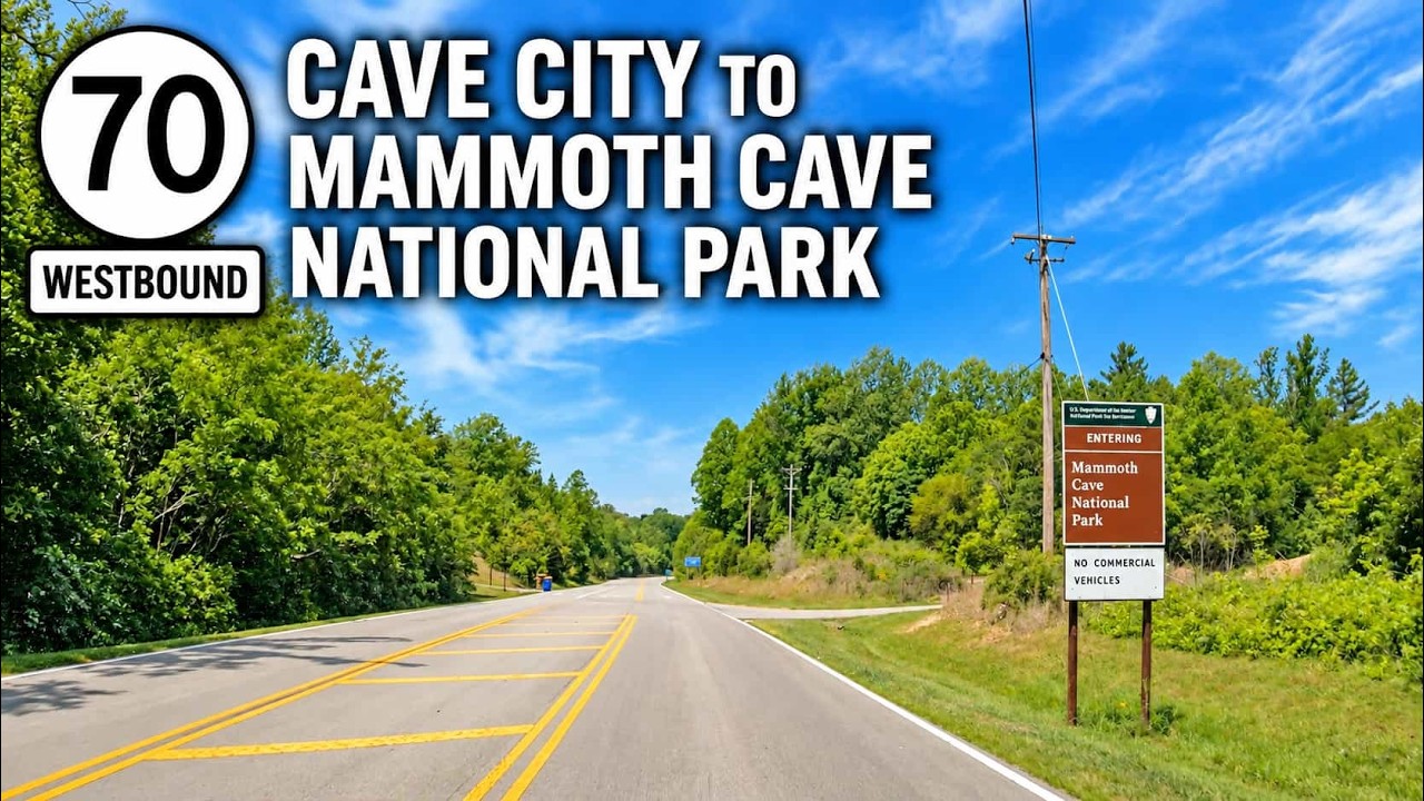
Drive Kentucky Route 70 from Cave City to Mammoth Cave National Park, traveling from I-65 through rural Kentucky before continuing to the Mammoth Cave Visitor Center.
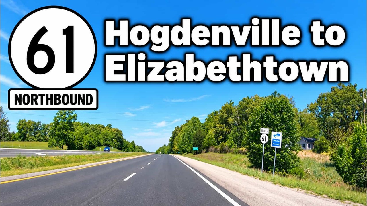
Drive Kentucky Route 61 from Hodgenville to Elizabethtown along the Lincoln Parkway through rolling farmland and Kentucky’s historic Lincoln country.

Drive Kentucky Route 61 from Elizabethtown to Hodgenville along the Lincoln Parkway through rolling farmland and Kentucky’s historic Lincoln country.
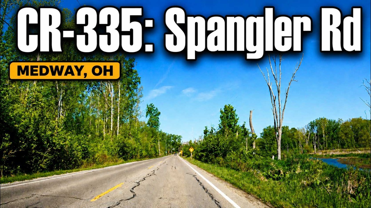
Drive Spangler Rd and County Road 335 from I-70 to Medway, Ohio, through Clark County farmland and wetlands on this short rural out-and-back drive.

Drive Interstate 675 from Miamisburg to Medway, Ohio, on a 27-mile trip around eastern Dayton through Centerville, Beavercreek, Fairborn, and Wright-Patterson.