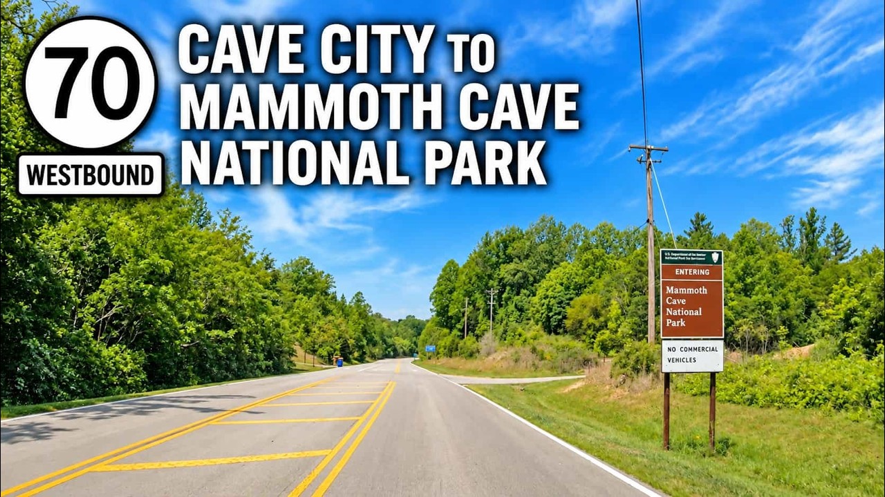
Drive Kentucky Route 70 from Cave City to Mammoth Cave National Park, traveling from I-65 through rural Kentucky before continuing to the Mammoth Cave Visitor Center.

The 🛣️ Scenic Route tag is reserved for highway segments known for their visual appeal and memorable landscapes. These are the drives that invite you to slow down, roll the windows down, and take it all in—whether you're surrounded by snow-capped mountains, winding through a canyon, hugging a coastal cliff, or coasting across rolling farmland. A route earns this tag not for its efficiency, but for its beauty, character, and ability to turn an ordinary trip into an experience.
Scenic routes vary widely in terrain and setting. In the Pacific Northwest, a scenic highway might weave through dense conifer forests with mist rising from the treetops. In the Southwest, it could mean miles of desert accented by red rock formations and wide-open skies. In the Midwest, a scenic road might stretch past prairie grasses and grain silos under an endless sky, while the East might feature tree-covered parkways that blaze with autumn color. Regardless of the region, a scenic tag indicates a road that offers something more than the usual commute—it delivers atmosphere and a sense of place.
These routes are often less direct than their bypass counterparts, with more curves, elevation changes, and natural features. They may pass through parks, along rivers, past historic landmarks, or into remote wilderness. While some scenic highways are part of official designations—like National Scenic Byways or state tourism trails—others earn the tag simply through reputation and traveler consensus. Many scenic routes also include well-placed overlooks, rest stops, or interpretive signs to help visitors fully appreciate the surroundings.
Drive Kentucky Route 70 from Cave City to Mammoth Cave National Park, traveling from I-65 through rural Kentucky before continuing to the Mammoth Cave Visitor Center.

Description: Drive Interstate 471 south from Cincinnati, Ohio, to Fort Thomas and Highland Heights, Kentucky, crossing the Ohio River on the Daniel Carter Beard Bridge.

Drive Interstate 471 from Ft. Thomas to Cincinnati, crossing the Ohio River on the Daniel Carter Beard Bridge with skyline views of downtown.

Drive U.S. Route 67 from Bonne Terre to Festus, Missouri, through wooded hills, rural Jefferson County, St. Francois State Park, and the I-55 corridor.

Drive U.S. Route 67 from Fredericktown to Farmington, Missouri, through 18 miles of wooded Ozark hills, rural countryside, and Lead Belt scenery.

Drive U.S. Route 67 from Poplar Bluff to Fredericktown through Greenville, Cherokee Pass, and the forested hills of Missouri’s eastern Ozarks.
![Interstate 15: Hesperia to Rancho Cucamonga, California [Remaster]](https://media.openroadarchive.com/file/ora-media/uploads/2026/05/9mb_otjascqmaxresdefault.webp)
Drive south along Interstate 15 from Hesperia to Rancho Cucamonga, California, descending from the High Desert into the busy Inland Empire through mountain backdrops, freight corridors, suburban growth, and one of Southern California’s most important transportation routes.
![Interstate 40: Needles to Barstow, California [Remastered]](https://media.openroadarchive.com/file/ora-media/uploads/2026/05/glorrw4-y0wmaxresdefault.webp)
Drive west across California’s Mojave Desert on Interstate 40 from Needles to Barstow, following a historic Route 66 corridor through remote basins, rugged mountains, railroad towns, and vast desert landscapes on one of Southern California’s classic interstate drives.

Drive 55 miles west on Interstate 40 from Kingman, Arizona to Needles, California, descending through remote desert terrain toward the Colorado River and Mojave Desert.

Experience the changing landscapes of northern Arizona on Interstate 40 from Flagstaff to Ash Fork. This 52-mile drive transitions from cool pine forests beneath the San Francisco Peaks to the wide-open high desert plateau, following a historic Route 66 corridor through one of the Southwest’s most dynamic regions.

Drive Interstate 40 from Winslow to Flagstaff, Arizona, covering 62 miles of dramatic elevation change from open high desert to dense ponderosa pine forest. Experience historic Route 66 parallels, Meteor Crater access, and one of Arizona’s most striking landscape transitions.
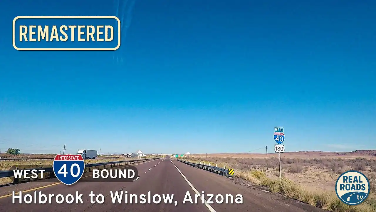
Drive Interstate 40 from Holbrook to Winslow, Arizona, crossing 29 miles of open high desert and historic Route 66 territory. Experience expansive landscapes, quiet desert beauty, and classic Southwest travel history along this scenic stretch of I-40.