Drive I-65 from Bowling Green to Nashville, traveling 75 miles through southern Kentucky, Middle Tennessee, and into downtown Nashville.


The 🏙️ Urban Route tag is applied to highways and road segments that pass through major metropolitan areas or densely populated cities. These routes are characterized by busy traffic patterns, multi-lane interchanges, skyline views, and close proximity to residential, commercial, and industrial zones.
Urban routes often serve as vital connectors within a city’s infrastructure, linking downtown districts to suburbs, airports, or regional transit hubs. They may include elevated sections, tunnels, or complex junctions, and are frequently surrounded by signage, sound barriers, and city landmarks.
Drive I-65 from Bowling Green to Nashville, traveling 75 miles through southern Kentucky, Middle Tennessee, and into downtown Nashville.

Drive Interstate 264 east through Louisville, Kentucky, from I-64 to I-65 along the Georgia Davis Powers and Henry Watterson expressways.

Description: Drive Interstate 471 south from Cincinnati, Ohio, to Fort Thomas and Highland Heights, Kentucky, crossing the Ohio River on the Daniel Carter Beard Bridge.

Drive Interstate 471 from Ft. Thomas to Cincinnati, crossing the Ohio River on the Daniel Carter Beard Bridge with skyline views of downtown.

Drive Interstate 275 around Cincinnati’s East Loop from Sharonville, Ohio, to Erlanger, Kentucky, through wooded suburbs and across the Ohio River.

Drive Ohio Route 4 from Huber Heights to Dayton, Ohio, following 11 miles of freeway from I-70 past the Mad River and Eastwood MetroPark to I-75.

Drive Ohio Route 835 from Beavercreek to Riverside, a 6.6-mile urban route via Research Boulevard and Woodman Drive through the Dayton area.
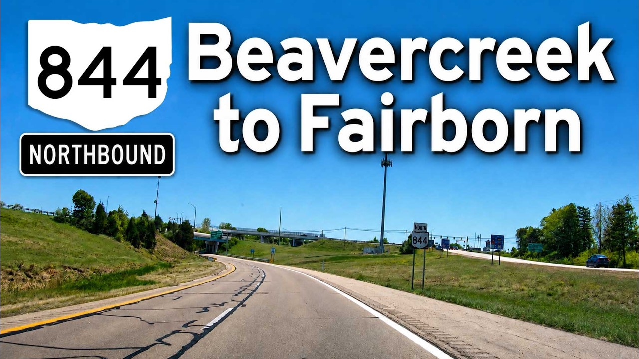
Drive Ohio Route 844 from Beavercreek to Fairborn, following the McClernon Memorial Skyway past Wright State University toward Wright-Patterson AFB.

Drive Far Hills Ave north on Ohio Route 48 from Centerville through Kettering and Oakwood to Stewart Street in Dayton, Ohio.

Drive the Old Dixie Highway from Dayton to Moraine, Ohio, following former U.S. 25 through historic neighborhoods and the industrial Miami Valley.

Drive U.S. Route 35 from Beavercreek to Dayton, Ohio, traveling 6 miles west from I-675 through Riverside to I-75 near downtown.
![U.S. Route 35: Dayton to Beavercreek, Ohio [Revisited]](https://media.openroadarchive.com/file/ora-media/uploads/2026/08/oemvzunbezgmaxresdefault.jpg)
Drive U.S. Route 35 from Dayton to Beavercreek, Ohio, traveling 11 miles from I-75 through urban Dayton, I-675, North Fairfield Road, and Orchard Lane.