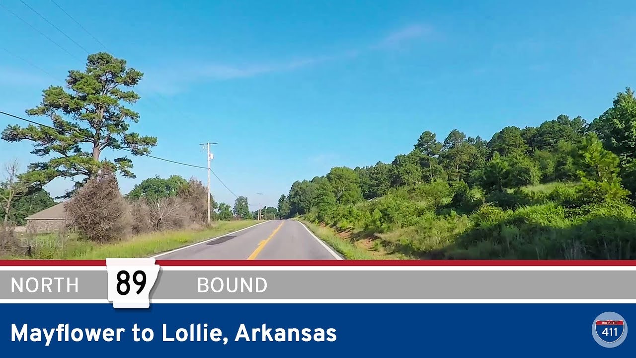
Drive America’s Highways for 4 miles west along Arkansas Highway 89 in Mayflower to Lollie at it’s northern terminus.
We start the video turning west onto Arkansas Highway 89 in downtown Mayflower at the intersection with Arkansas Highway 365. Continuing west, we make a short dog leg to bypass the cemetery before leaving town as we cross Beaverdam Creek.
Now driving generally northwest, Arkansas Highway 89 ends just after Stone Lake. We continue the video, however, to the intersection with Rocky Gap Rd (Arkansas River Trail) where we end the video turning north.
Note: As of October, 2023, the first segment of this video is invalid. AR-89 has been re-routed to a new overpass and bypass around Mayflower. An updated video will publish soon.


Very pretty county