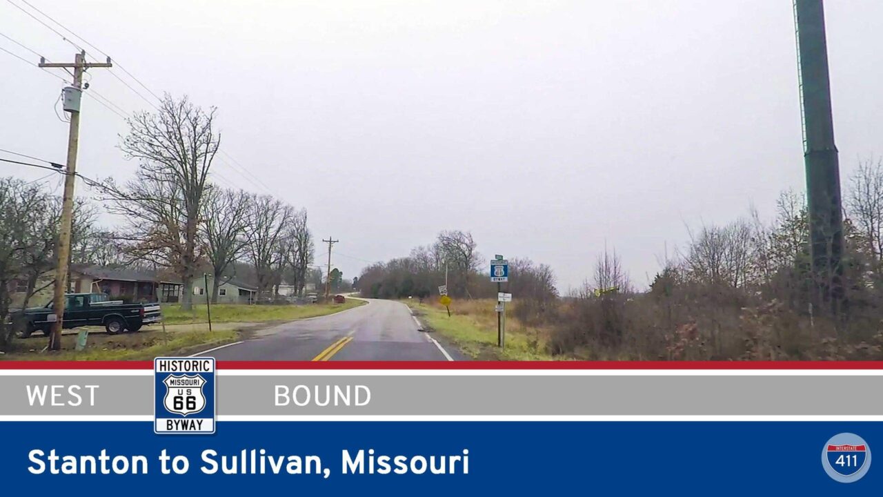
Drive America’s Highways for 6 miles west along Missouri Highway Z from Powellville to the Uranus Fudge Factory in St. Robert, Missouri.
We start the video turning onto Missouri Highway Z from MO-J just southeast of Powellville. Driving west along historic Route 66, we soon pass through Hooker Cut. Hooker Cut was the first:
– 4 lane section of Route 66
– location where rock shelves were used to protect the road
– time curbs were used to channel rainwater off the road.
It was also the last section of route 66 to be paved. Check out Hooker Cut around 1:36.
After passing through Hooker Cut, we turn onto the original Route 66 alignment which takes us through the village of Devils Elbow where we cross the Big Piney River on the original truss bridge. Check the bridge out at 2:24.
Leaving Devils Elbow, we rejoin the newer alignment of the mother road where we pass an interchange with Interstate 44. A mile or so later, we arrive at the Uranus Fudge Factory where we end the video.
![Missouri Highway Z - Powellville to St. Robert [Hooker Cut - Rt 66] | Drive America's Highways 🚙](https://interstate411.us/wp-content/cache/flying-press/5e3edfe4a4ad99af0ec7f4d31e92c741.jpg)


In this case, the Phillips 66 gas station signs are telling the truth.Also, wasn't it nice of MoDot to four lane a letter route? It makes for a really nice farm-to-market road, but it's not quite up to today's standards for a transcontinental high speed route.
I still don't get the whole letter route thing…but yeah. I think there are a few of those 4 lane letter routes down in Taney County (Branson area) as well nowadays. Unless the city/county took them over
Come to think of it, unless MoDot has designed Page Avenue east of 270 as MO 364, then it's still Route D, which means a short section of a letter route is a full freeway.
According to Google Maps, still Rt Dhttps://interstate411.us/interstate-270-south-st-louis-missouri/ at 1:32