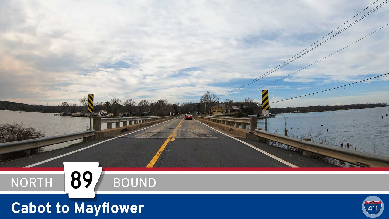
🚙 Drive America’s Highways for 25 miles north (west) along Arkansas Highway 89 from Cabot to Mayflower
Arkansas Highway 89 from Cabot to Mayflower is a scenic drive through the heart of Arkansas’s Central Plains. The highway winds through gently rolling hills, farmland, and forests, offering stunning views of the surrounding countryside.
The drive begins in Cabot, a small city located about 20 miles north of Little Rock, at the interchange with U.S. Highway 67/US-167/Future I-57. From Cabot, Highway 89 heads west, passing through the rural communities of Tates Mill and Sayles.
A few miles west of Cabot, Arkansas Highway 89 ends at a junction with Highway 107. Maintaining the general route of Highway 89, we turn south onto Arkansas Highway 107 for a few miles before turning west on Pulaski County Highway 89 – Republican Road. Continuing west on Republican Road through a traffic circle with Jacksonville-Conway Rd, we turn north as Republican Road ends at an intersection with Sayles Road at the Pulaski/Faulkner county line. Turning west onto Sayles Road, and entering Faulkner County, the highway becomes Arkansas Highway 89 once again for the duration of this video.
Continuing west on Highway 89, we drive along the northern boundary of Camp Robinson for 7 miles until we reach the city limits of Mayflower. Entering Mayflower, we continue west into town, crossing Lake Conway along the way. At the interchange with Interstate 40, we continue across the old overpass to end the video at Arkansas Highway 365. As of September, 2023, the I-40 overpass shown in this video is no longer there. It was replaced with a new overpass and bypass of Mayflower. That video will publish shortly after this one and will be titled: “Arkansas Highway 89: Mayflower.


0 Comments