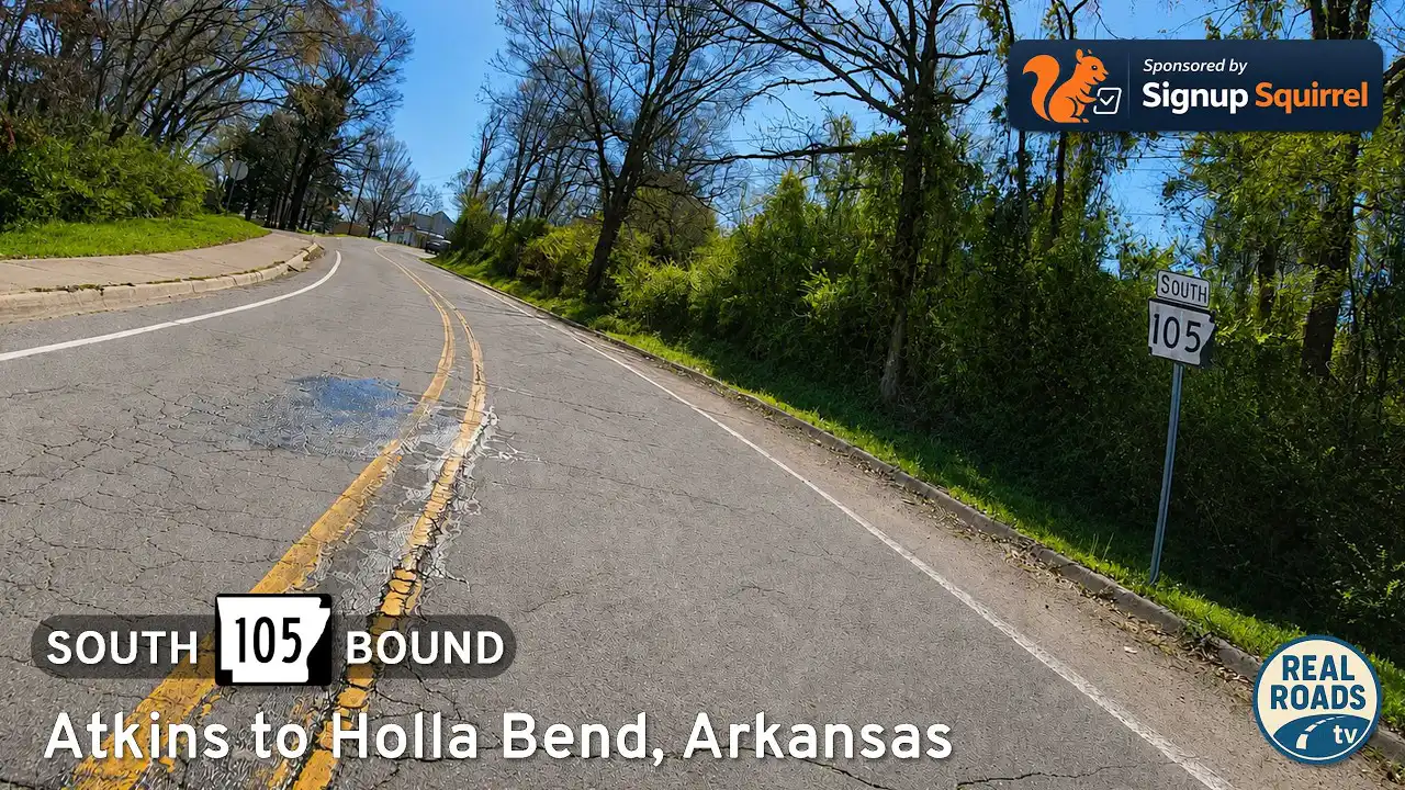
Drive Arkansas Highway 105 south from Atkins to Holla Bend and Sweeden Isle Recreation Area. Experience Arkansas River Valley farmland, wetlands, wildlife habitat, river-bottom scenery, and peaceful rural backroads in Pope County.

The 🌾 Farmland tag identifies routes that pass through active agricultural areas, where fields, silos, barns, and tractors are common sights. These roads often wind through rural communities and showcase the day-to-day life of America’s working landscapes—whether it's rows of corn, wheat, soybeans, or pastureland dotted with livestock.
Travelers on farmland-tagged routes can expect a slower pace and a direct look at the country’s agricultural backbone. These drives frequently intersect with small towns, local markets, and seasonal roadside stands offering fresh produce or handmade goods.

Drive Arkansas Highway 105 south from Atkins to Holla Bend and Sweeden Isle Recreation Area. Experience Arkansas River Valley farmland, wetlands, wildlife habitat, river-bottom scenery, and peaceful rural backroads in Pope County.

Drive west along Arkansas Highway 124 from Quitman to Damascus, Arkansas, through rolling farmland, wooded hills, rural valleys, and the scenic transition zone between central Arkansas and the Ozark foothills.

Drive Arkansas Highway 107 north from Enola to Quitman, Arkansas, through quiet farmland, wooded hills, rural crossroads, and small-town central Arkansas scenery.

Drive Arkansas Highway 319 west from Ward to Vilonia through the heart of central Arkansas farmland. This 15-mile route crosses rural White and Faulkner counties, showcasing open fields, growing communities, and the resilient spirit of Vilonia.

Drive Arkansas Highway 31 south from Floyd to Beebe, Arkansas, on a quiet 10-mile rural route through White County farmland, small communities, and Delta-edge countryside.

Explore a quiet rural drive through central Arkansas as Bull Mountain Road and Bull Creek Road connect Naylor and El Paso through rolling hills, farmland, forests, and peaceful White County backroads.

Drive Acklin Gap Road east from US-65 near Conway to AR-287 near Holland, Arkansas, transitioning from suburban growth into quiet farmland and rural Faulkner County scenery.

Drive Tennessee Route 690 around Union City, a 10.6-mile bypass connecting US-51 and forming part of the future Interstate 69 corridor. Experience flat farmland, open landscapes, and a modern roadway designed for tomorrow’s traffic.

Drive 95 miles along Interstate 71 from Cincinnati to Louisville, Kentucky, following a scenic route through northern Kentucky’s rolling hills, farmland, and Outer Bluegrass landscape.
![[Revisited] Interstate 75: Dayton to Cincinnati, Ohio](https://media.openroadarchive.com/file/ora-media/uploads/2026/03/oukqs84qbtwmaxresdefault.webp)
Drive Interstate 75 from Dayton to Cincinnati, Ohio, covering 63 miles of busy urban freeway, suburban growth, and key Midwest infrastructure. Experience one of Ohio’s most important transportation corridors connecting aviation history, industry, and river city landscapes.

Drive Interstate 75 from Toledo to Dayton, Ohio, a 152-mile journey through northwest Ohio farmland, historic canal towns like Wapakoneta and Sidney, and major Midwest cities shaped by aviation and industry.

Drive 11 miles south on Interstate 75 from Monroe, Michigan to the Ohio state line toward Toledo. This short interstate segment crosses the flat Lake Erie plain, connecting southeastern Michigan farmland with the busy Toledo metropolitan corridor along one of America’s most important north–south highways.