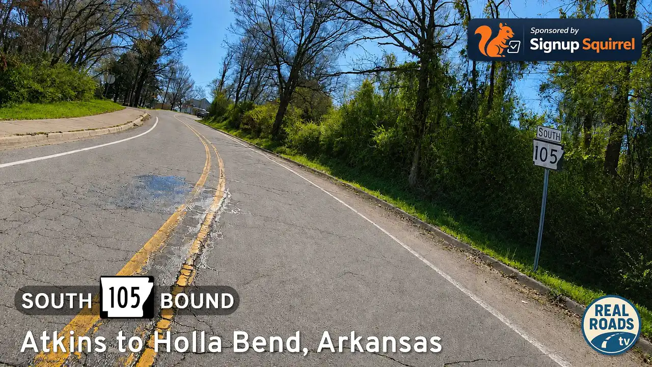
Drive Arkansas Highway 105 south from Atkins to Holla Bend and Sweeden Isle Recreation Area. Experience Arkansas River Valley farmland, wetlands, wildlife habitat, river-bottom scenery, and peaceful rural backroads in Pope County.

The “🪖 Corps of Engineers” tag showcases parks, recreation areas, lakes, and campgrounds that are developed, managed, or maintained by the U.S. Army Corps of Engineers. Known for their stewardship of many of the nation’s lakes, reservoirs, and waterways, the Corps has created and preserved countless outdoor destinations for public enjoyment. These areas often feature well-maintained facilities, scenic landscapes, and unique opportunities for boating, fishing, hiking, and camping.
Many recreation sites under the Corps’ management were established as part of larger flood control or navigation projects, resulting in the creation of expansive lakes and reservoirs. As a result, visitors can enjoy a blend of engineered landscapes and natural beauty, from vast shorelines and sandy beaches to wooded trails and picnic areas. These parks frequently serve as gateways to water-based recreation and wildlife observation, making them popular spots for families, anglers, and outdoor enthusiasts alike.
By tagging these locations, we help travelers identify Corps of Engineers recreation sites known for their accessibility, quality amenities, and emphasis on conservation. Whether you’re planning a weekend camping trip, a day of fishing, or just seeking a peaceful lakeside retreat, areas with this tag represent some of the best-managed and most inviting public recreation spaces in the country.
Drive Arkansas Highway 105 south from Atkins to Holla Bend and Sweeden Isle Recreation Area. Experience Arkansas River Valley farmland, wetlands, wildlife habitat, river-bottom scenery, and peaceful rural backroads in Pope County.

Cruise Arkansas Highway 16 from Greers Ferry to Heber Springs—a 22-mile lake-to-town drive of wooded ridgelines, fleeting Greers Ferry Lake views, and a welcoming finish near the Little Red River. Highlights include Devils Fork Recreation Area, Heber Springs’ trout-rich tailwater, and a smooth two-lane rhythm ideal for an unhurried pace.

Drive 22 scenic miles on Arkansas Highway 16 from US-65 in Clinton to Devils Fork Recreation Area at Greers Ferry Lake. Follow a first-person travelogue through Ozark ridges, pine-hardwood forest, and lake-view curves—with local tips and an interactive map.
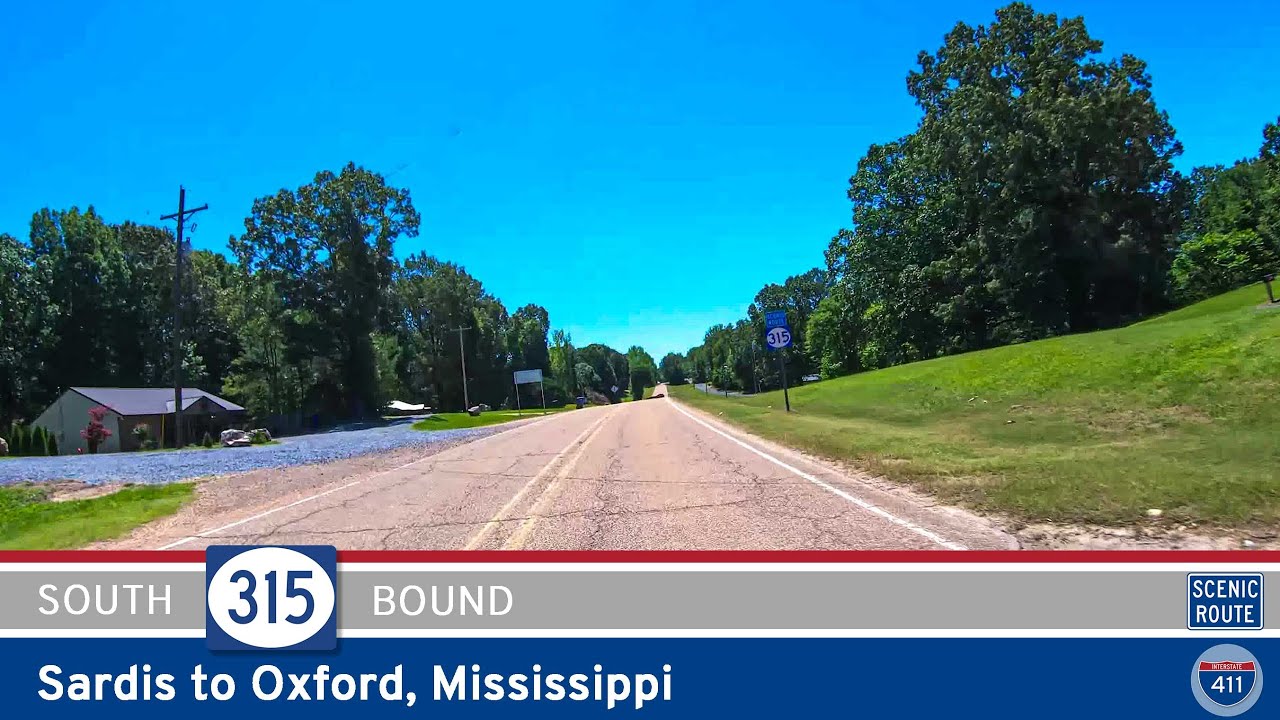
Discover the scenic 5-mile drive along Mississippi Highway 315 from Sardis to Oxford. Pass beneath the massive Sardis Dam, wind through wooded hills and farmland, and finish at the gateway to Oxford’s cultural and university life.
![[Special] Willow Beach Park: North Little Rock, Arkansas](https://interstate411.us/wp-content/uploads/2025/06/qbm349wnimumaxresdefault.jpg)
Experience the natural beauty and easy access of Willow Beach Park in North Little Rock, Arkansas—a U.S. Army Corps of Engineers site offering fishing, boating, and peaceful riverfront recreation just minutes from the city.

Experience a peaceful three-mile drive along Arkansas Highway 393 from Delaware to Delaware Park. Discover rural scenery, tranquil farmland, and a relaxing lakeside park perfect for fishing, picnics, and quiet afternoons by Lake Dardanelle.

Cruise 27 miles along Scenic Arkansas Highway 7 from Caddo Valley to Hot Springs, passing DeGray Lake, Corps of Engineers parks, the town of Bismarck, and the southern Ouachita Mountains before rolling into the historic spa city.
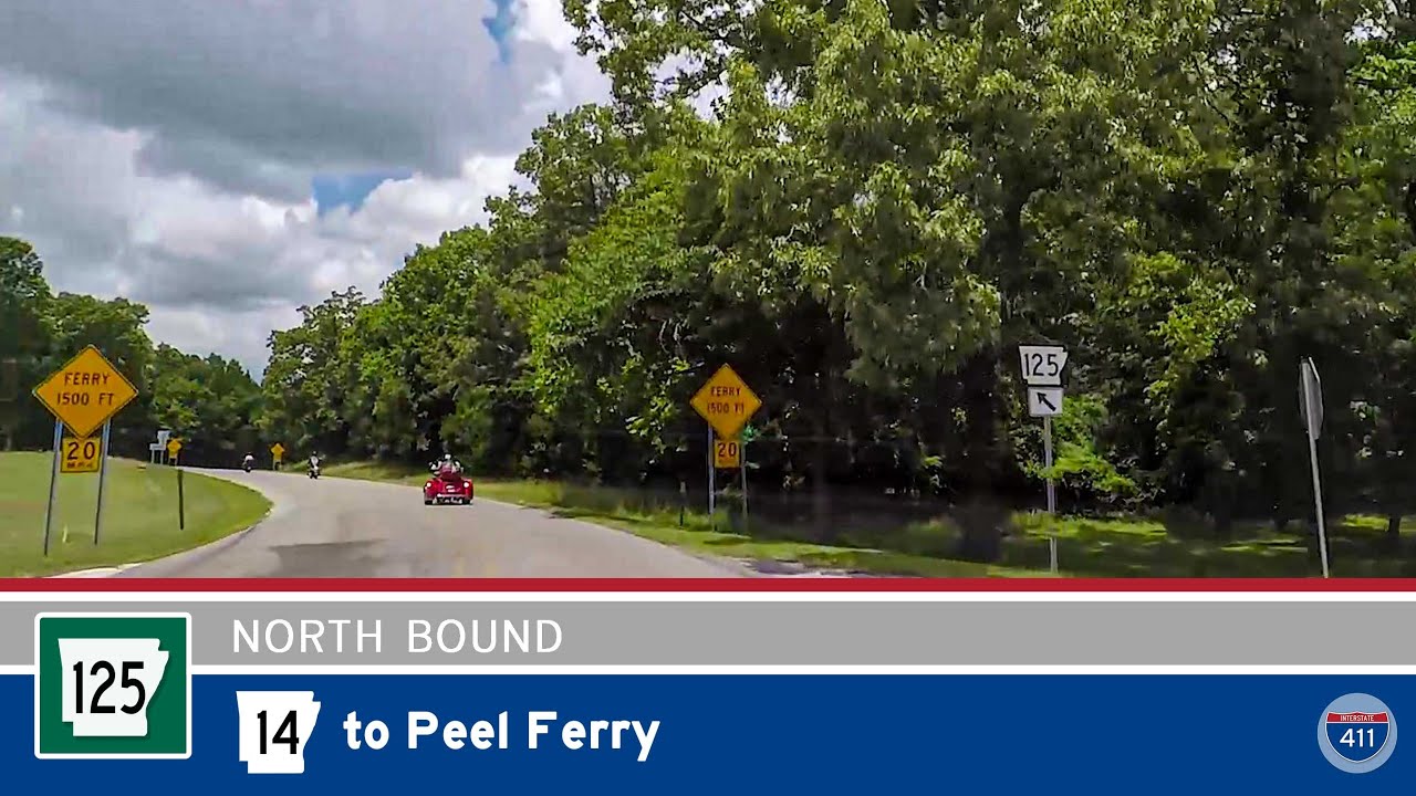
Travel 12 scenic miles along Arkansas Highway 125 from Highway 14 to the Peel Ferry on Bull Shoals Lake. Winding through forested hills and quiet communities, this tranquil drive ends at Arkansas’s last remaining highway ferry crossing.

Take a scenic drive along Arkansas Highway 25 from Heber Springs to Drasco, crossing the Greers Ferry Dam and winding through the forests and farmland of north-central Arkansas. Highlights include panoramic lake views, small-town charm, and Ozark mountain scenery.

Drive 11 miles south along US-79 from Altheimer to Pine Bluff, Arkansas, crossing the Arkansas River and skirting farmland and industry before entering one of the Delta’s key cities.

Drive 34 miles west on Arkansas Highway 22 from Dardanelle to Paris through lakeside views, farmland, and historic communities. Highlights include Shoal Bay, Subiaco Abbey, and access to Mount Magazine Scenic Byway.

Travel 67 miles north on U.S. Route 89 from Flagstaff to Tuba City, Arizona, passing through volcanic landscapes, the Little Colorado River, and the stark desert beauty of the Navajo Nation. This remote stretch offers natural wonders and vital history on a scenic drive through the heart of the Southwest.