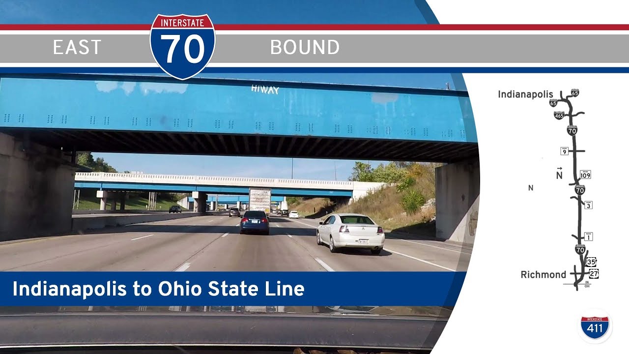
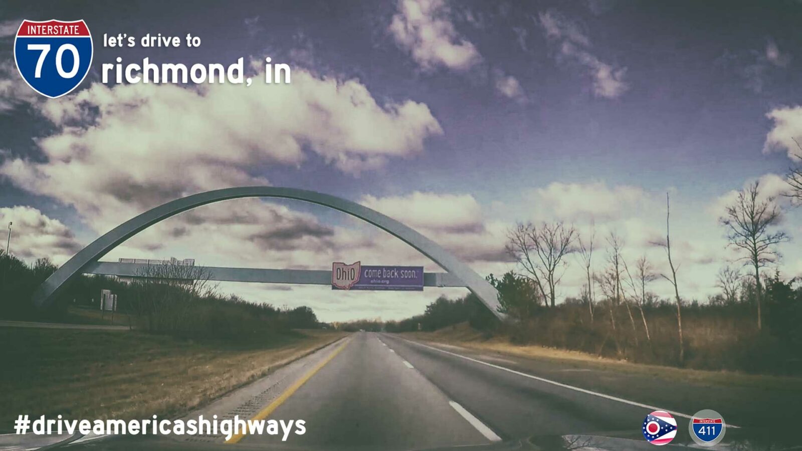
Drive America’s Highways for 75 miles east along Interstate 70 from Indianapolis to Richmond, Indiana.
We start the video turning north onto the combined Interstate 65 / Interstate 70 freeway in downtown Indianapolis. Approximately a mile later, we turn east onto Interstate 70 towards Dayton as Interstate 65 turns northwest towards Chicago. Continuing east, we soon cross the interchange with Interstate 465 — the Indianapolis beltway (We forgot to put a sign in the video for this interchange — oops). Now out of Indianapolis, we kick back and make our way through eastern Indiana. Crossing interchanges with IN-9, 109, 3 and IN-1, we finally reach the western fringes of Richmond and the Miami Valley at the interchange with U.S. Highway 35 (Muncie). Passing generally north and east of Richmond on I-70, we cross the interchange with U.S. Highway 27 before turning southeast to cross U.S. Highway 40 at the Ohio State Line, where we end the video.


INDOT seems to be schizo about EB 70's control city out of Indianapolis, they give you both Dayton and Columbus.I remember many years ago on MTR when the news was announced that FHWA approved Dayton as a control city for between Indy and Columbus, meaning it could be the EB 70 CC out of Indy and the WB 70 CC out of Columbus. A few Dayton residents and natives pretty much threw a party.Richmond, Indiana is the home of two giant Powerball jackpot wins over the years. The reason is easy: Both happened in the days when Ohio didn't do Powerball, meaning Richmond was a really popular lotto ticket buying spot for Ohioans when the Powerball prize got really big.
Indeed. I remember when that FHWA decision was made — I was living in Dayton at the time 🙂 From what I gather, then, like now, INDOT will change the control cities when the sign needs replaced. I believe the City of Dayton paid for the first one in downtown, and all the rest are just waiting on replacement — like you said, INDOT is schizo — in more ways than just the signs 🙂
What's even funnier: 70 doesn't go through the city of Dayton, just the northern burbs. Of course, I-40 doesn't go through Little Rock either, even though LR is a control city for it.
Also, going west in Indy you will see the control city as Terre Haute and also some for STL. It's been a while since i've been WB through there, so they might have changed, but for years, they had several that way too.
In the city of St. Louis, the "control city" for the three interstate routes that depart eastward from the city, 55, 64 and 70, is "Illinois." It's not until you actually get over on the East Side that you see "Chicago" for 55, "Indianapolis" for 70 and "Louisville" for 64. Of course, in St. Louis County, Chicago as a control city is often used for 255 and 270. Point being, you never see Indianapolis or Louisville on MoDOT sign listed control cities. Before the recent PSB project, there was an EB overhead gantry on the bridge a bit west of the mid-river state line, showing Indianapolis and Louisville, but IDOT made and installed that, because the font was FHWA Clearview (MoDOT almost never used Clearview, while IDOT loved it), and, like I said, MoDOT doesn't know that Louisville and Indianapolis exist.With one exception:https://www.google.com/maps/place/St.+Louis,+MO/@38.6999964,-90.2643058,3a,66.8y,70.71h,76.33t/data=!3m4!1e1!3m2!1syFM2tiFYUDcepdAcf7i-1A!2e0!4m2!3m1!1s0x87d8b4a9faed8ef9:0xbe39eaca22bbe05b?hl=enThis is Goodfellow Blvd going north. This is just inside the St. Louis City limits. And, as you can see, Indianapolis is the small BGS control city. Technically, this is correct, but MoDOT consistency would dictate that it would be "Illinois," and in reality, it should read "Downtown."