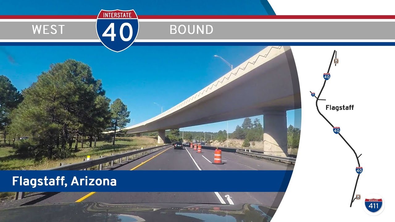
Drive America’s Highways for 14 miles west along Interstate 40 in Flagstaff, Arizona.
We start the video on Interstate 40 around exit 204 for Walnut Canyon. Continuing west, we enter flagstaff proper at an interchange with Country Club Road at exit 201. At around the same time, we turn more southwest until we reach the interchange with Interstate 17, where we turn more northwest.
Passing one more local interchange, we end the video at I-40 Business (Route 66) at exit 191
See (partial) Route 66 in Flagstaff:


About three years ago, I posted this comment on a FWJ video of Asheville:Asheville, North Carolina and Flagstaff, Arizona remind me a lot of each other.* Both are along I-40* Both are higher altitude relatively high population towns within the context of their states* Both are perceived as "cooler" destinations during the summer season in their states' low elevation big cities* Until I-26 was extended, both were the northern termini of relatively short 2di's* Both serve as gateways to popular national parks (Smokies, Grand Canyon)* Both serve as gateways to their states' highest mountains (Mt. Mitchell, Humphreys Peak)* I-40's highest point east of the Mississippi is not far west of Asheville, I-40's highest point overall is just west of Flagstaff* Notable grades on I-40 both east of Asheville and west of Flagstaff* A bit far from both, but I-26's grade just into North Carolina and the Verde Valley grade along I-17 remind me of each otherFWJ's video:https://www.youtube.com/watch?v=LqDXDLfAoYg
never thought of all that, but interesting. You should post that to the roadgeekery fb grp or something 🙂