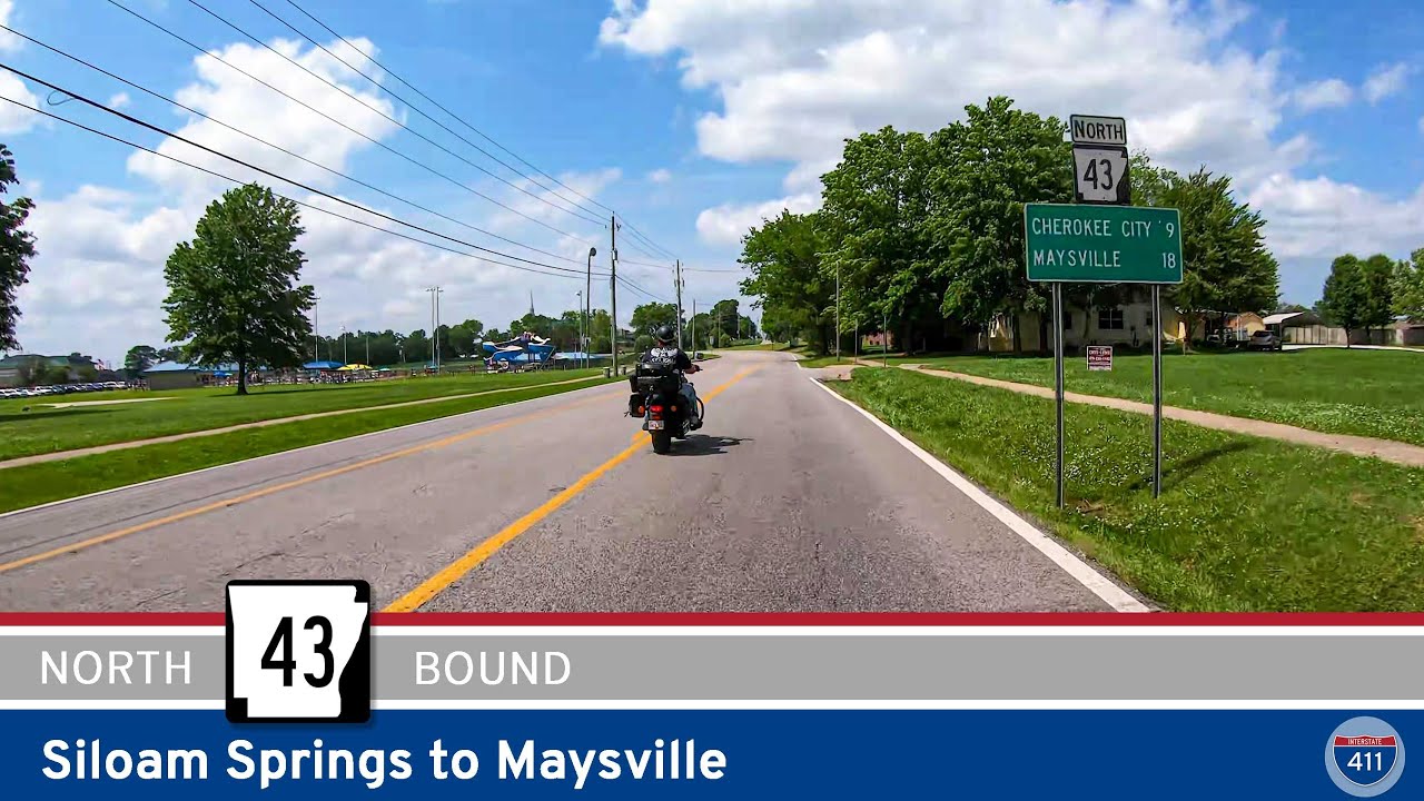
🚙 Drive America’s Highways for 18 miles north along Arkansas Highway 43 from Siloam Springs to Maysville.
We start the drive from Siloam Springs to Maysville at the corner of Mt. Olive St (Arkansas Highway 43) and Cheri Whitlock St (AR-204) in Siloam Springs. Driving generally north, we zig-zag our way out of Siloam Springs, we drive through a nice mix of farmland and forests before straightening out after crossing Flint Creek to enter the community of West Point.
Continuing our drive from Siloam Springs to Maysville on AR-43, .we quickly pass through West Point and after a quick S-curve, we once again find ourselves driving north. A few miles later, we come to the intersection with Arkansas Highway 12 at a roundabout seemingly in the middle of nowhere. Navigating the roundabout, we stay on AR-43 into Cherokee City. Passing through Cherokee City, we soon descend into the Spring Valley where at one point, we are mere feet from Oklahoma.
Climbing out of the Spring Valley, we turn west at the intersection with AR-102. Driving west for about a mile, we make a sharp curve at the Oklahoma line where we drive north for the final mile into Maysville, where we end the video at the intersection with Arkansas Highway 72.


0 Comments