Take a classic Texas plains drive on U.S. Route 84 from Post to Snyder. This 46-mile eastbound journey offers big sky views, cotton country landscapes, and a fast-paced route through West Texas history and industry.


The U.S. Numbered Highway System—often referred to as U.S. Routes or U.S. Highways—is a nationwide network of roads established in 1926 to improve long-distance automobile travel across the United States. Unlike the Interstate system, U.S. Highways predate freeways and often serve as main streets, scenic byways, or vital connectors through rural and urban communities alike. Many historic routes, including iconic roads like U.S. Route 66, trace their roots to this enduring network.
These highways use a grid system for numbering: odd-numbered routes run north–south, increasing from east to west, while even-numbered routes run east–west, increasing from north to south. Important cross-country highways typically end in “0” or “1” (like US 20 or US 1), and three-digit offshoots usually indicate spurs or loops branching from mainline routes.
Today, the U.S. Highway system continues to evolve—some segments have been decommissioned, realigned, or upgraded to freeways—but many routes remain essential for regional travel, trucking, and scenic exploration. This category explores the entire U.S. Numbered Highway network, from coast to coast and border to border.
Take a classic Texas plains drive on U.S. Route 84 from Post to Snyder. This 46-mile eastbound journey offers big sky views, cotton country landscapes, and a fast-paced route through West Texas history and industry.

Take a peaceful 26-mile drive along U.S. Route 380 from Tahoka to Post, Texas. Travel through cotton country and the high plains into the canyon edge of the Caprock region. Discover the quiet beauty of rural West Texas and the historic town of Post.

Explore the vast farmlands of the Texas South Plains as we drive 28 miles along U.S. Route 380 from Brownfield to Tahoka. This quiet, open-road journey offers a glimpse into the cotton fields, rural communities, and hard-working heart of West Texas.

Take a tranquil drive through the cotton fields of West Texas on U.S. Route 380 from Plains to Brownfield. This 44-mile journey crosses the South Plains, showcasing the agricultural backbone of Yoakum and Terry counties, along with small towns and wide-open skies.

Travel 15 miles through the vast South Plains of West Texas on U.S. Route 380 from the New Mexico state line to Plains, Texas. This rural highway offers wide skies, farmland, and a glimpse into the hardworking agricultural heart of the Lone Star State.

Take a peaceful ride across the Llano Estacado as we follow U.S. Route 380 for 15 miles from Tatum, New Mexico to the Texas state line. This short but scenic route captures the stark beauty of the high plains and marks a quiet transition between two states.

Take a drive across southeastern New Mexico along US-380 from Roswell to Tatum. This quiet 72-mile stretch delivers endless skies, cattle country, and classic Southwest scenery.

Take a short but fascinating drive down Main Street in Roswell, New Mexico, along U.S. Route 285. Explore this 6-mile stretch that blends alien lore, small-town charm, and desert scenery.

Cruise down U.S. Route 285 from Vaughn to Roswell, New Mexico—a 90-mile journey through remote desert plains, historic ranchlands, and alien-themed roadside charm. Discover this hidden stretch of America’s Highways.
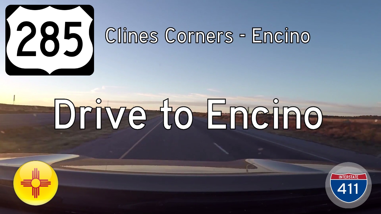
Take a quiet drive through the high plains of New Mexico along U.S. Route 285 from Clines Corners to Encino. This 27-mile stretch offers wide-open vistas, fading relics of roadside Americana, and a peaceful slice of desert solitude.

Travel 41 miles through New Mexico’s high desert along U.S. Route 550 from Cuba to San Ysidro. This scenic journey features volcanic landmarks, vast mesas, and Native American heritage—capturing the quiet beauty of the Southwest.

Take a 23-mile drive through the heart of the Navajo Nation along U.S. Route 550 from Nageezi to Counselor, New Mexico. This scenic desert highway offers striking high desert views, cultural heritage, and access to nearby Chaco Canyon.