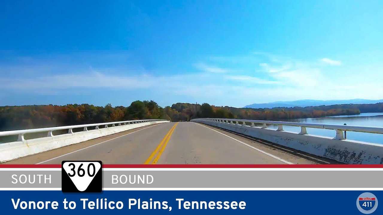
🚙 Drive America’s Highways for 22 miles east along Tennessee Route 360 from Vonore to Tellico Plains.
Starting in Vonore, a historic town nestled on the banks of the Little Tennessee River, we head east on Route 360 from a few feet away from the intersection with U.S. Route 411. Passing Fort Loudoun State Park as we leave town, we wind our way through lush green fields and meandering country roads, offering glimpses of the rural lifestyle and agricultural scenery that characterizes this area.
As we continue along TN-360, we soon reach Ballplay, where we quickly make our way through town. Leaving Ballplay behind, the road continues through rolling hills and forested areas, providing captivating views of the surrounding countryside. The route is lined with vibrant trees, particularly during the autumn season when the foliage transforms into a vibrant tapestry of red, orange, and gold.
As we approach Tellico Plains, the terrain gradually changes; transitioning from rolling hills to a slightly more mountainous landscape. The Tellico River flows nearby, offering a picturesque backdrop as you near the town. Tellico Plains itself is a delightful destination with a rich history and small-town charm. Nestled in the foothills of the Cherokee National Forest, the town is surrounded by scenic beauty and outdoor recreational opportunities. We end the video at the intersection with Tennessee State Route 165 — the Cherohala Skyway.


0 Comments