Arkansas State Highways

Explore the Arkansas State Highway System with detailed route overviews, travel tips, and scenic highlights. Navigate over 16,000 miles of Arkansas highways—from mountain roads to delta plains.

Spanning more than 16,000 miles, the Arkansas State Highway System is a critical part of the state's transportation infrastructure, connecting rural towns, bustling cities, and natural landmarks across the Natural State. Established in 1924, the system includes hundreds of numbered routes maintained by the Arkansas Department of Transportation (ARDOT). From the delta flatlands to the peaks of the Ozark and Ouachita Mountains, these highways offer travelers a diverse and scenic journey through Arkansas's unique topography and cultural heritage.

Notable among the system are routes like Highway 7, which winds through the heart of the Ozarks and is designated as one of the most scenic byways in the country. Highway 10 provides access to the Ouachita Mountains and picturesque river valleys, while eastern routes like Highway 1 cut through fertile delta farmland rich in history and tradition. Many Arkansas state highways also serve as connectors to interstates and U.S. routes, forming a vital web of mobility for both commerce and tourism.

With hundreds of individual routes, each numbered state highway tells its own story. Whether you're exploring charming small towns, navigating forested hills, or tracing historic pathways, Arkansas's state highways provide more than just a way to get from point A to B—they invite you to discover the state's natural beauty, rural character, and welcoming communities one mile at a time.

Tour Arkansas State Highways

Arkansas Highway 16: Greers Ferry to Heber Springs

Arkansas Highway 16: Greers Ferry to Heber Springs

Cruise Arkansas Highway 16 from Greers Ferry to Heber Springs—a 22-mile lake-to-town drive of wooded ridgelines, fleeting Greers Ferry Lake views, and a welcoming finish near the Little Red River. Highlights include Devils Fork Recreation Area, Heber Springs’ trout-rich tailwater, and a smooth two-lane rhythm ideal for an unhurried pace.

Arkansas Highway 16: Clinton to Greers Ferry

Arkansas Highway 16: Clinton to Greers Ferry

Drive 22 scenic miles on Arkansas Highway 16 from US-65 in Clinton to Devils Fork Recreation Area at Greers Ferry Lake. Follow a first-person travelogue through Ozark ridges, pine-hardwood forest, and lake-view curves—with local tips and an interactive map.

Arkansas Highway 95: Cleveland to Clinton

Arkansas Highway 95: Cleveland to Clinton

Drive 24 miles on Arkansas Highway 95 from the AR-124 junction south of Cleveland to US-65B in Clinton. Enjoy Ozark-foothill scenery, rolling ridges, creek crossings, and rural communities on a smooth, two-lane route through Conway and Van Buren counties.

Arkansas Highway 124: Center Ridge to Cleveland

Arkansas Highway 124: Center Ridge to Cleveland

Cruise west along Arkansas Highway 124 from Center Ridge to Cleveland — a peaceful 11-mile drive through the wooded hills and farmland of Conway County, Arkansas, showcasing the timeless beauty of rural Ozark foothills.

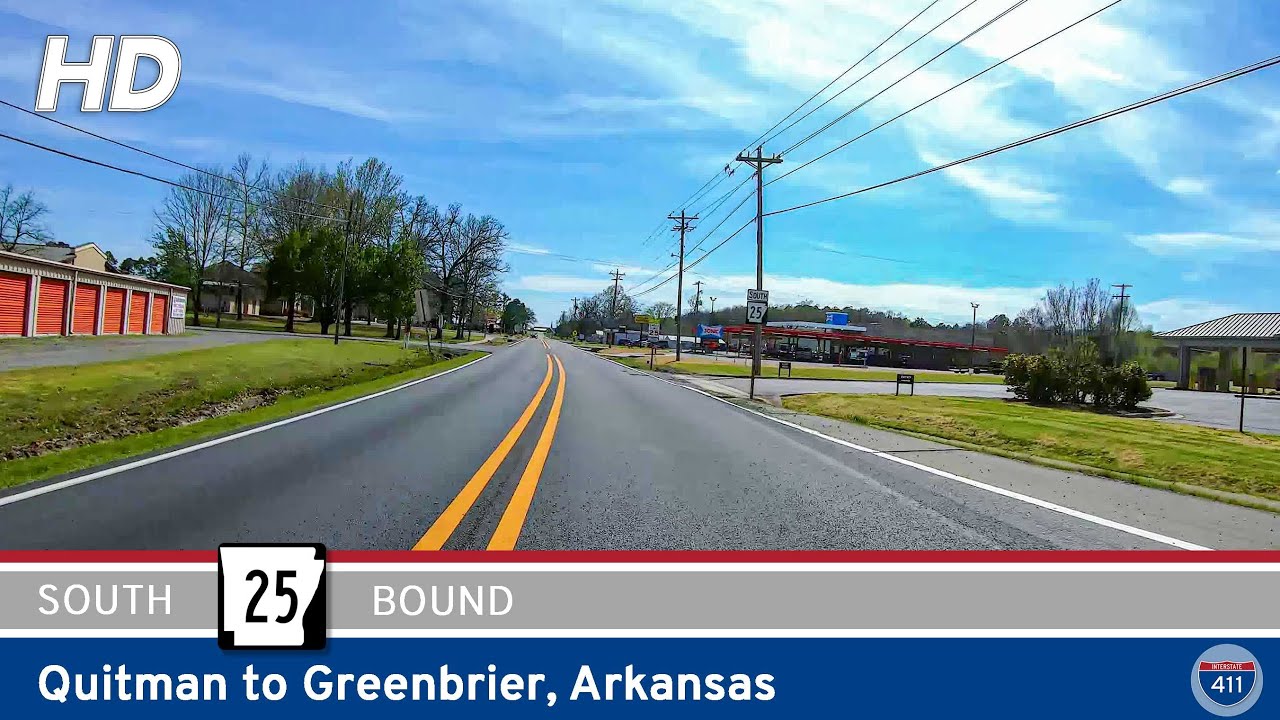
Arkansas Highway 25: Quitman to Greenbrier

Arkansas Highway 25: Quitman to Greenbrier

Experience the rolling foothills of central Arkansas on this 14-mile drive along Arkansas Highway 25 from Quitman to Greenbrier. Travel through farmland, wooded ridges, and the small towns of Enders and Guy before reaching U.S. 65 in Greenbrier.

Arkansas Highway 128: Fountain Lake to Lonsdale

Arkansas Highway 128: Fountain Lake to Lonsdale

Discover the quiet charm of Arkansas Highway 128, a short connector from Fountain Lake to Lonsdale. This rural drive winds through wooded ridges and farmland, linking Garland and Saline Counties while offering a peaceful alternative to busier highways.

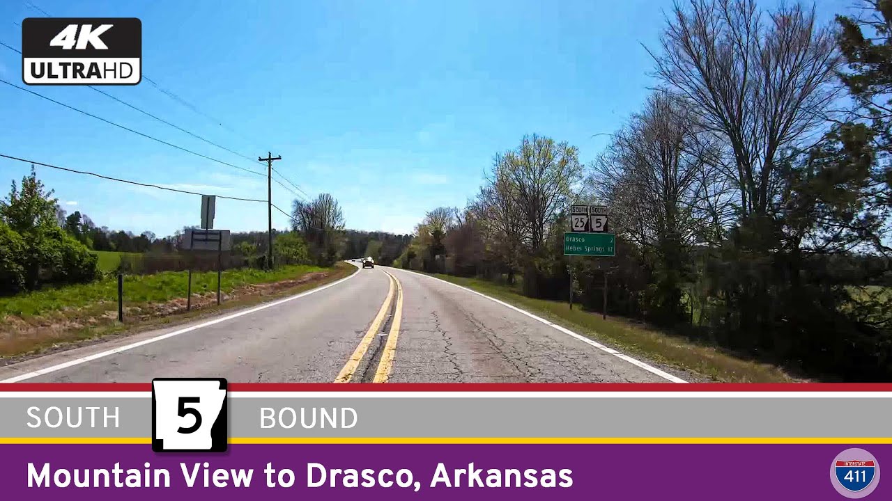
Arkansas Highway 5: Mountain View to Drasco

Arkansas Highway 5: Mountain View to Drasco

Explore Arkansas Highway 5 from Mountain View to Drasco — a 26-mile drive through Ozark foothills, farmland, and forest. Discover folk culture, quiet valleys, and timeless scenery along this winding Arkansas route.

Arkansas Highway 9: Crows to Morrilton

Arkansas Highway 9: Crows to Morrilton

Follow Arkansas Highway 9 for 46 miles from Crows to Morrilton, passing through Paron, Perryville, and the Arkansas River Valley with access to Petit Jean State Park along the way.

Arkansas Highway 229: Benton to Haskell

Arkansas Highway 229: Benton to Haskell

Take a short drive along Arkansas Highway 229 from Benton to Haskell, a two-mile stretch of old U.S. 67 that blends small-town character with the history of Arkansas’s highway network.

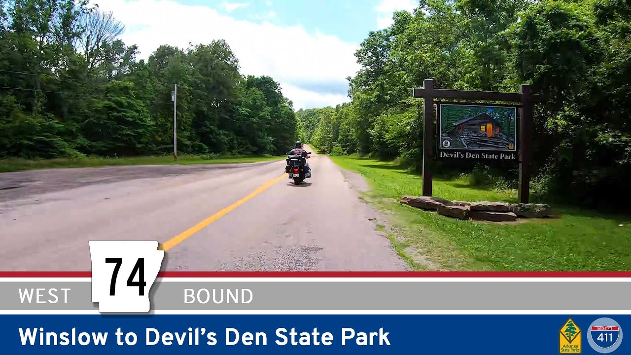
Arkansas Highway 74: Winslow to Devil’s Den State Park

Arkansas Highway 74: Winslow to Devil’s Den State Park

Take a scenic drive along Arkansas Highway 74 from Winslow to Devil’s Den State Park, a winding Ozark backroad filled with forested ridges, tight curves, and stunning views that lead into one of Arkansas’s most iconic parks.