Drive Arkansas Highway 105 south from Atkins to Holla Bend and Sweeden Isle Recreation Area. Experience Arkansas River Valley farmland, wetlands, wildlife habitat, river-bottom scenery, and peaceful rural backroads in Pope County.
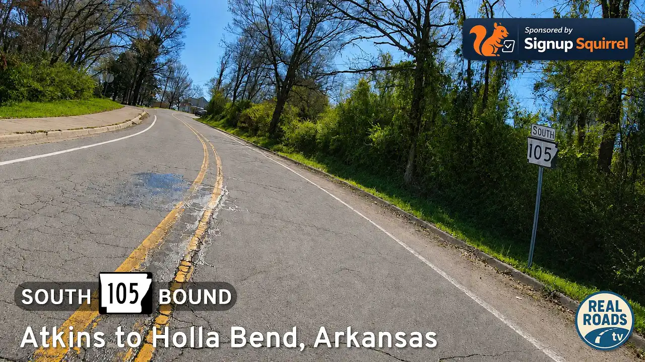

Arkansas Highway 105 is a rural north–south route in Pope County that connects the Arkansas River Valley near Atkins with the rolling hills and forested countryside surrounding Hector. Along its length, the highway passes through productive farmland, small communities, wildlife-rich bottomlands, and scenic upland terrain, offering travelers a diverse look at the landscapes that define western Arkansas.
The southern portions of the route serve agricultural areas near the Arkansas River and provide access to outdoor destinations around Holla Bend, where wetlands, river-bottom fields, and abundant wildlife shape the scenery. Farther north, Highway 105 transitions into gently rolling countryside as it passes through communities such as Oak Grove and Caglesville before approaching the higher elevations near Hector. Along the way, drivers encounter a mix of working farms, rural homes, wooded ridges, and expansive valley views.
While Highway 105 functions primarily as a local connector, it offers an authentic glimpse into everyday life in Pope County away from the interstate system. Whether traveling through quiet farmland, exploring the Arkansas River lowlands, or heading toward the foothills of the Ozarks, Arkansas Highway 105 showcases the natural beauty and rural character that make this region of Arkansas unique.
Drive Arkansas Highway 105 south from Atkins to Holla Bend and Sweeden Isle Recreation Area. Experience Arkansas River Valley farmland, wetlands, wildlife habitat, river-bottom scenery, and peaceful rural backroads in Pope County.