Drive 27 miles west along Interstate 155 from Dyersburg, Tennessee to Hayti, Missouri. This key east-west connector crosses the Mississippi River, linking west Tennessee with the Missouri Bootheel via I-55 and US-412.
![Interstate 155: Dyersburg, Tennessee to Hayti, Missouri [Revisited]](https://media.openroadarchive.com/file/ora-media/uploads/2025/06/dcbfmcfwp-wmaxresdefault.jpg)
The 🦆 Wetlands tag is used for routes that pass through or alongside marshes, swamps, bayous, or floodplain ecosystems. These areas are often rich in biodiversity and feature a mix of standing water, tall grasses, cypress trees, and wildlife such as herons, egrets, turtles, and of course, ducks. Driving through wetlands often brings a tranquil, otherworldly quality—especially when the road is elevated above water on stilts, causeways, or narrow levees.
Wetland routes can be found throughout the United States, but are especially common in the Southeast, Gulf Coast, and Great Lakes regions. These drives might include long bridges, slow curves through wildlife preserves, or boardwalk-adjacent roadways. The scenery shifts with the seasons and water levels, often making the same route feel completely different depending on when you visit.
Because of the fragile nature of wetland ecosystems, many of these roads include interpretive signs, scenic pull-offs, or nearby nature trails. Birdwatchers and photographers often favor these routes for the chance to spot migratory species or dramatic skies reflected in still water.

![Interstate 155: Dyersburg, Tennessee to Hayti, Missouri [Revisited]](https://media.openroadarchive.com/file/ora-media/uploads/2025/06/dcbfmcfwp-wmaxresdefault.jpg)
Drive 27 miles west along Interstate 155 from Dyersburg, Tennessee to Hayti, Missouri. This key east-west connector crosses the Mississippi River, linking west Tennessee with the Missouri Bootheel via I-55 and US-412.

Explore the full 49-mile drive along Woodlands Trace Parkway from Dover, TN to Grand Rivers, KY, as it winds through the heart of Land Between the Lakes National Recreation Area. This scenic route offers serene forests, historic landmarks, and lakeside views perfect for nature lovers and road trippers.

Travel 23 miles along Tennessee Secondary Route 89 from Kenton to Dresden, passing through farmland, wetlands, and small-town charm. This scenic backroad route includes the Obion River WMA and the towns of Sharon and Dresden.

Cruise 15 miles of U.S. Route 80 from Tallulah to Delta, Louisiana, passing through scenic bayous, rural farmland, and historic small towns before merging with I-20 to cross the Mississippi River.

Cruise 29 miles down U.S. Route 65 from Lake Providence to Tallulah, Louisiana. This peaceful drive along the Mississippi River weaves through quiet farmland, historic small towns, and natural wetland habitats—perfect for a scenic rural road trip.

Take a scenic 24-mile drive along U.S. Route 65 from Eudora, Arkansas to Lake Providence, Louisiana. Explore Delta farmland, lakeside views, and small-town charm as this quiet two-lane route winds through the heart of the Lower Mississippi Valley.

Explore the scenic route of Arkansas Highway 89 from Cabot to Mayflower, a 25-mile drive through rural towns, farmland, and along the edge of Camp Robinson. This segment includes a historic alignment and the new Mayflower bypass.

Drive 6 miles south along Clinton Road from Saltillo to Mayflower, Arkansas. This quiet, forest-lined backroad skirts Camp Robinson WMA and ends at Highway 89 just outside of Mayflower.

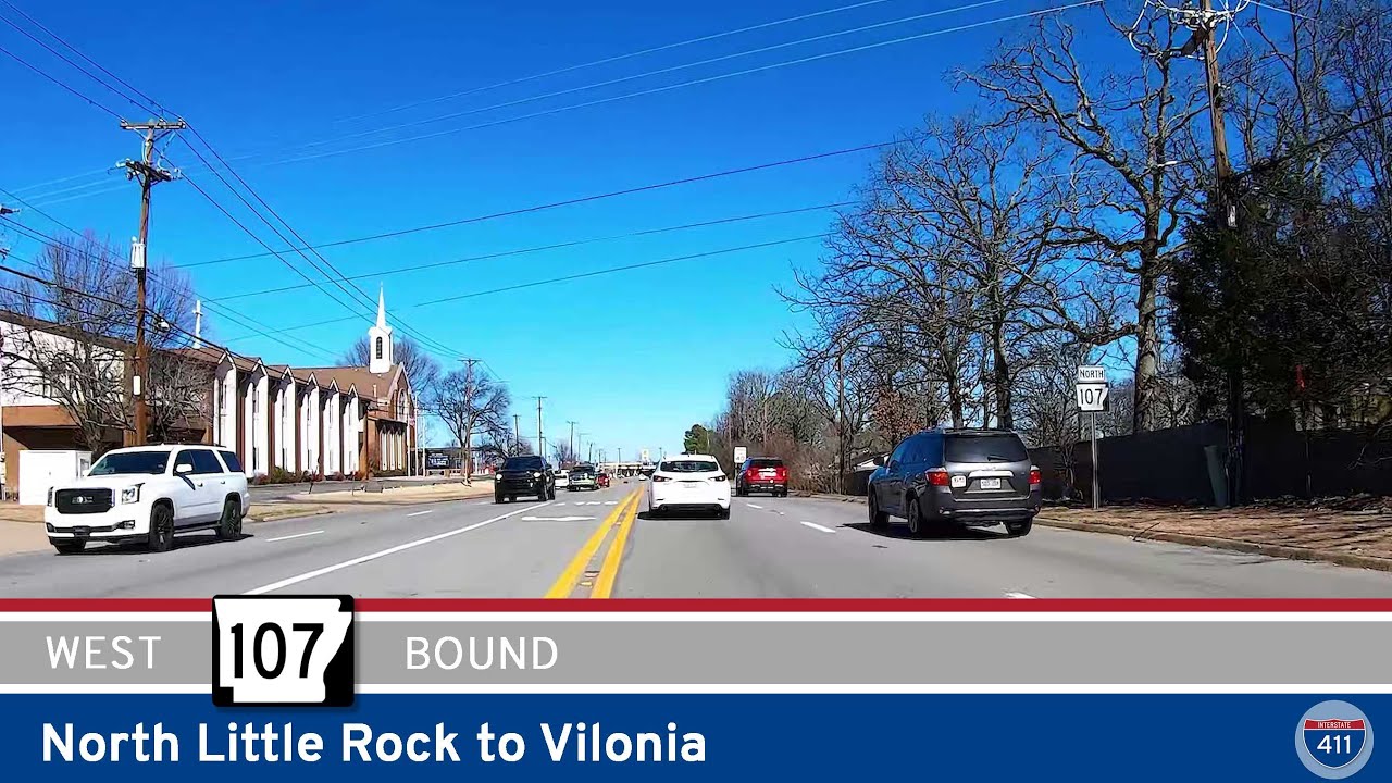
Take a scenic 29-mile drive along Arkansas Highway 107 from North Little Rock to Vilonia, where suburban neighborhoods fade into rolling farmland and forested countryside. This route offers a relaxing look at Central Arkansas’s natural beauty and small-town charm.

Drive 6 peaceful miles along the Natchez Trace Parkway from the Tennessee state line to Stewartville, Alabama. This scenic stretch offers wooded landscapes, quiet countryside, and a glimpse into America’s early travel routes.

Cruise 50 miles along the scenic Natchez Trace Parkway from Gordonsburg, TN to the Alabama state line. Explore Meriwether Lewis’s gravesite, pass through the Laurel Hill Wildlife Area, and stop in Collinwood before finishing at the Tennessee–Alabama border.

Cruise 20 miles west along U.S. Route 412 from Columbia to Gordonsburg, Tennessee, passing through the quiet charm of Hampshire and ending at the scenic Natchez Trace Parkway. A peaceful drive through rolling hills, forests, and rural beauty.