

Interstate 155: Hayti, Missouri to Dyersburg, Tennessee
Drive Interstate 155 from Hayti, Missouri to Dyersburg, Tennessee, crossing the Mississippi River on the historic Caruthersville Bridge.

The 🌊 Waterfront tag is used for routes, segments, or destinations that run directly alongside bodies of water. This includes scenic stretches along oceans, bays, rivers, or lakes where the water is a visible and prominent feature of the journey. Whether it's a coastal highway hugging the shoreline or a quiet road tracing the edge of a reservoir, this tag highlights those drives where water views are part of the appeal.
Many waterfront routes offer unique landscapes, with opportunities for pull-offs, boardwalks, or access to beaches and piers. Travelers can expect shifting light, reflective vistas, and the rhythmic presence of waves or currents nearby.
Drive Interstate 155 from Hayti, Missouri to Dyersburg, Tennessee, crossing the Mississippi River on the historic Caruthersville Bridge.

Drive Ohio State Route 48 from downtown Dayton to Englewood along Main Street, crossing the Great Miami River and northern Montgomery County.
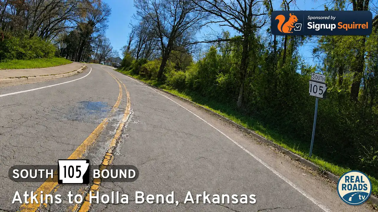
Drive Arkansas Highway 105 south from Atkins to Holla Bend and Sweeden Isle Recreation Area. Experience Arkansas River Valley farmland, wetlands, wildlife habitat, river-bottom scenery, and peaceful rural backroads in Pope County.

Explore Beaverfork Road in Conway, Arkansas, a short suburban connector linking AR-25 with US-65 while skirting Beaverfork Lake, residential neighborhoods, and Conway’s rapidly growing west side.

Drive northbound on Interstate 57 from Sikeston, Missouri to Cairo, Illinois, following a 22-mile stretch through the Bootheel’s flat farmland and open skies as the highway approaches the Mississippi and Ohio River region.

Drive 22 scenic miles on Arkansas Highway 16 from US-65 in Clinton to Devils Fork Recreation Area at Greers Ferry Lake. Follow a first-person travelogue through Ozark ridges, pine-hardwood forest, and lake-view curves—with local tips and an interactive map.

Drive 31 miles along Interstate 30 from Arlington to Garland, Texas, through major Dallas–Fort Worth suburbs, downtown Dallas interchanges, and the scenic shoreline of Lake Ray Hubbard. A dynamic urban freeway journey across North Texas.

Take a drive along Interstate 155 from Dyersburg, Tennessee to Hayti, Missouri, a short but vital 27-mile route linking the Delta to the Bootheel. Featuring wide farmland views and a dramatic Mississippi River crossing at Caruthersville, this connector highlights the role of I-155 in uniting two states across America’s greatest river.

Explore the Arkansas River Valley on U.S. Route 64 from Russellville to Clarksville. This 28-mile drive crosses Lake Dardanelle, passes small towns, and showcases the foothills of the Ozarks.
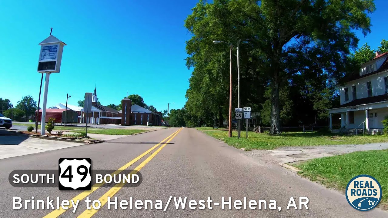
Travel U.S. Route 49 from Brinkley to Helena–West Helena, Arkansas, across the Delta’s farmland and small towns to the Mississippi River. Explore historic sites, scenic byways, and the cultural heart of the Arkansas Delta.
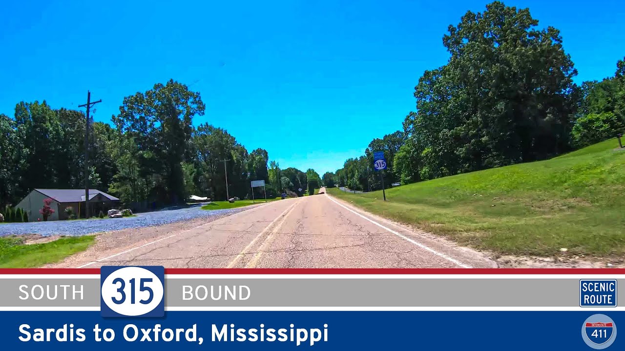
Discover the scenic 5-mile drive along Mississippi Highway 315 from Sardis to Oxford. Pass beneath the massive Sardis Dam, wind through wooded hills and farmland, and finish at the gateway to Oxford’s cultural and university life.

Oklahoma Highway 151: Mannford to Sand Springs – A Dam Fine Drive