Drive 31 miles along Interstate 820 in Fort Worth, Texas, covering the city’s eastern, northern, and western suburbs in this scenic loop. From Lake Worth to major interchanges with I-20, I-30, and I-35W, experience Fort Worth’s beltway in full.


The 🏙️ Urban Route tag is applied to highways and road segments that pass through major metropolitan areas or densely populated cities. These routes are characterized by busy traffic patterns, multi-lane interchanges, skyline views, and close proximity to residential, commercial, and industrial zones.
Urban routes often serve as vital connectors within a city’s infrastructure, linking downtown districts to suburbs, airports, or regional transit hubs. They may include elevated sections, tunnels, or complex junctions, and are frequently surrounded by signage, sound barriers, and city landmarks.
Drive 31 miles along Interstate 820 in Fort Worth, Texas, covering the city’s eastern, northern, and western suburbs in this scenic loop. From Lake Worth to major interchanges with I-20, I-30, and I-35W, experience Fort Worth’s beltway in full.

Drive 4 miles south along Beach Street in Fort Worth, Texas, as we explore this key arterial road connecting IH-820 to SH-121 through the city’s northeast neighborhoods and a brief stretch of Haltom City.

Travel 11 miles north along Interstate 35W in Fort Worth, Texas—from the southern interchange with I-20, through downtown, and ending at I-820. Explore key junctions, skyline views, and local landmarks along this urban route.

Cruise 13 miles south along Texas Highway 360 from Euless to Arlington. This key DFW-area route links travelers to major interstates, sports venues, and the entertainment hub of North Texas.

Take a short drive on Texas Highway 97 Spur, the south entrance to DFW Airport. This 3-mile connector offers a seamless route from SH-183 in Euless to the airport toll plaza, providing a fast and efficient gateway into one of America’s busiest airports.

Travel 9 miles east along Texas Highway 183 from Fort Worth to Euless, passing through Hurst and Bedford before arriving at the DFW Airport entrance. A key Metroplex corridor with heavy traffic and vital connections.

Explore 35 miles of Interstate 820 eastbound through Fort Worth, Texas, from its southwestern junction with I-20 through major interchanges with I-30, I-35W, and TX-183 before looping back to I-20. This drive around the city’s eastern edge captures suburban scenery, lake views, and busy freight corridors along the Fort Worth loop.

Drive 17 miles east along Interstate 20 in Fort Worth, Texas, from the I-30 interchange to I-35W. This urban segment of I-20 bypasses downtown and connects major routes like I-820, US-377, and the Chisholm Trail Parkway, offering a look at Fort Worth’s southern corridor.

Cruise 14 miles west along Interstate 20 in Fort Worth, Texas, as we pass major interchanges with I-820, I-35W, and the Chisholm Trail Parkway. This vital bypass corridor showcases the southern edge of the city and leads west toward Weatherford.
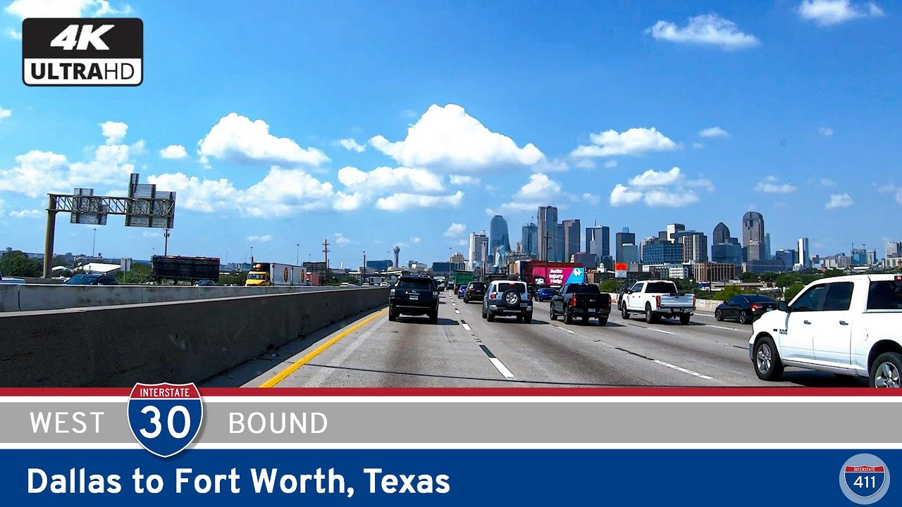
Drive nearly 70 miles along Interstate 30 from Rockwall to Fort Worth, Texas, passing through Dallas, Mesquite, Arlington, and key Metroplex landmarks like AT&T Stadium, the Trinity River, and more. Explore this vital stretch of Texas highway with our detailed route guide.

Take a scenic drive along U.S. Route 411 from Sevierville to Newport, Tennessee. This 19-mile stretch winds through the Smoky Mountain foothills, passing Fairgarden’s historic schoolhouse, Chestnut Hill’s lakeside charm, and the gateway to the Cherokee National Forest.

Take a scenic 95-mile journey along Interstate 64 from Louisville to Interstate 69 in Indiana, passing through New Albany, Corydon, and the forests of southern Indiana. This drive offers wooded landscapes, historic towns, and peaceful rural stretches perfect for a relaxing road trip.