Drive northbound on U.S. Route 67 from Neelyville to Poplar Bluff, Missouri. This 16-mile segment features a two-lane highway alongside I-57 construction, a four-lane transition at U.S. 160, and a major directional split with U.S. Route 60.


The 🏙️ Urban Route tag is applied to highways and road segments that pass through major metropolitan areas or densely populated cities. These routes are characterized by busy traffic patterns, multi-lane interchanges, skyline views, and close proximity to residential, commercial, and industrial zones.
Urban routes often serve as vital connectors within a city’s infrastructure, linking downtown districts to suburbs, airports, or regional transit hubs. They may include elevated sections, tunnels, or complex junctions, and are frequently surrounded by signage, sound barriers, and city landmarks.
Drive northbound on U.S. Route 67 from Neelyville to Poplar Bluff, Missouri. This 16-mile segment features a two-lane highway alongside I-57 construction, a four-lane transition at U.S. 160, and a major directional split with U.S. Route 60.

Drive west along Interstate Forty from Shawnee to Oklahoma City in this twenty sixteen snapshot of central Oklahoma’s primary east–west corridor, capturing the route before the Kickapoo Turnpike reshaped regional traffic patterns.

Experience an 8-mile drive along Interstate 35 from Edmond to Oklahoma City, tracing a fast-moving suburban-to-urban transition past major interchanges, commercial hubs, and the gateway curve into I-44. A concise look at one of central Oklahoma’s most important commuter corridors.

Explore Branson’s 3.5-mile Blue Route, a quick bypass from Roark Valley Road to Gretna Road that blends Ozark scenery with easy access to theaters, shops, and attractions—all without the congestion of 76 Country Boulevard.

Explore Branson’s Yellow Route — a three-mile drive from Green Mountain Road to Fall Creek Road. This connector bypasses the Strip, passing hotels, mini-golf, condos, neighborhoods, and wooded Ozark hills.
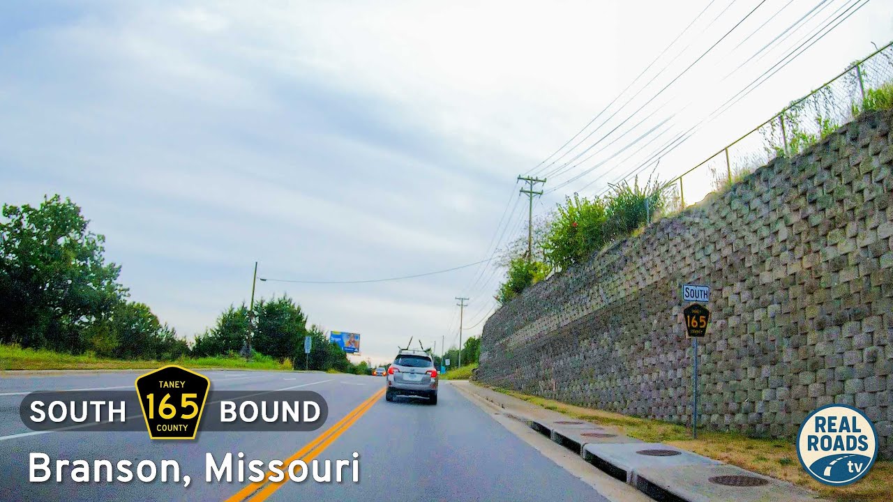
Take a drive along Taney County Route 165 in Branson, Missouri, a 5.5-mile tour through the city’s Red, Blue, and Yellow Routes. From the Shepherd of the Hills Expressway to Green Mountain Drive, this connector highlights Branson’s clever bypass network around the Strip.

Drive 31 miles along Interstate 30 from Arlington to Garland, Texas, through major Dallas–Fort Worth suburbs, downtown Dallas interchanges, and the scenic shoreline of Lake Ray Hubbard. A dynamic urban freeway journey across North Texas.
![Interstate 69: Interstate 64 to Evansville – Indiana [Revisited]](https://media.openroadarchive.com/file/ora-media/uploads/2025/09/ipbohcyijqqmaxresdefault.jpg)
Follow Interstate 69 for 21 miles from the I-64 interchange to Evansville, Indiana. This detailed route narrative highlights rural farmland, suburban growth, and key junctions including IN-57, IN-66, and IN-662 before ending at U.S. 41 on Evansville’s south side.

Travel 168 miles along Interstate 30 from Garland to Texarkana, Texas, crossing Lake Ray Hubbard, prairie farmland, piney woods, and military landscapes before arriving in the twin-state city of Texarkana.

Follow Interstate 22 for 128 miles from Tupelo, Mississippi, to Birmingham, Alabama — a modern corridor across rolling hills, Appalachian foothills, and historic U.S. 78 communities.

Travel 23 miles along U.S. Route 70 from North Little Rock to Lonoke, Arkansas. Explore historic downtown streets, farmland vistas, and early highway alignments on this classic Delta corridor.

Travel 110 miles along Interstate 44 from Tulsa, Oklahoma to Joplin, Missouri, following the Will Rogers Turnpike past Claremore, Vinita, and Miami, with landmarks like the Will Rogers Memorial and the famous Vinita service plaza.