Travel Interstate 70 from Terre Haute to Indianapolis, Indiana, on a 77-mile real-time drive through farmland, small towns, Plainfield, and the western Indianapolis metro.


The 🌲 Forest tag highlights routes that pass through densely wooded areas, national forests, or timber-rich landscapes. These drives are often characterized by towering trees, shaded corridors, and a sense of immersion in nature. Whether it’s a winding mountain road lined with evergreens or a backcountry highway flanked by deciduous woods, the forested environment defines the scenery.
These routes are especially vibrant in autumn, when foliage changes color, or in the spring and summer, when greenery is at its peak. Wildlife sightings, hiking trail access, and picnic areas are common features along many forest-tagged segments.
Travel Interstate 70 from Terre Haute to Indianapolis, Indiana, on a 77-mile real-time drive through farmland, small towns, Plainfield, and the western Indianapolis metro.

Drive north on Interstate 55 from Festus to St. Louis, Missouri, following a 34-mile route from the U.S. Route 67 interchange through Jefferson County, South County, and into the city at I-44.

Drive U.S. Route 67 from Bonne Terre to Festus, Missouri, through wooded hills, rural Jefferson County, St. Francois State Park, and the I-55 corridor.

Drive U.S. Route 67 from Farmington to Bonne Terre, Missouri, through Lead Belt communities, wooded hills, and St. Francois State Park.

Drive U.S. Route 67 from Fredericktown to Farmington, Missouri, through 18 miles of wooded Ozark hills, rural countryside, and Lead Belt scenery.

Drive U.S. Route 67 from Poplar Bluff to Fredericktown through Greenville, Cherokee Pass, and the forested hills of Missouri’s eastern Ozarks.

Drive north on U.S. Route 67 from Corning, Arkansas to Poplar Bluff, Missouri, crossing the Arkansas Delta into the wooded foothills of southeast Missouri on this scenic 30-mile journey through farm country, small towns, and historic highway landscapes.
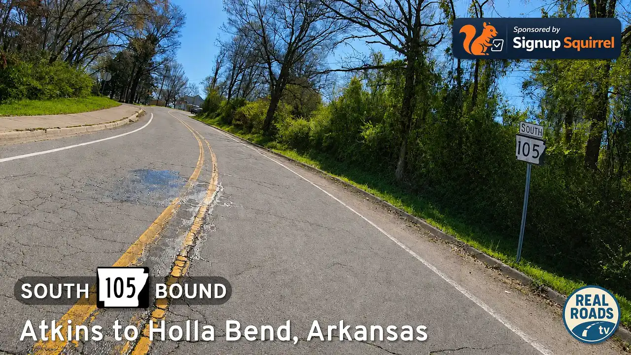
Drive Arkansas Highway 105 south from Atkins to Holla Bend and Sweeden Isle Recreation Area. Experience Arkansas River Valley farmland, wetlands, wildlife habitat, river-bottom scenery, and peaceful rural backroads in Pope County.

Drive west along Arkansas Highway 124 from Quitman to Damascus, Arkansas, through rolling farmland, wooded hills, rural valleys, and the scenic transition zone between central Arkansas and the Ozark foothills.

Drive Arkansas Highway 107 north from Enola to Quitman, Arkansas, through quiet farmland, wooded hills, rural crossroads, and small-town central Arkansas scenery.

Drive Arkansas Highway 367 from Beebe to Ward, Arkansas, following a historic frontage-style corridor alongside Interstate 57 through White County farmland, growing suburbs, and small-town central Arkansas scenery.

Drive Arkansas Highway 31 south from Floyd to Beebe, Arkansas, on a quiet 10-mile rural route through White County farmland, small communities, and Delta-edge countryside.