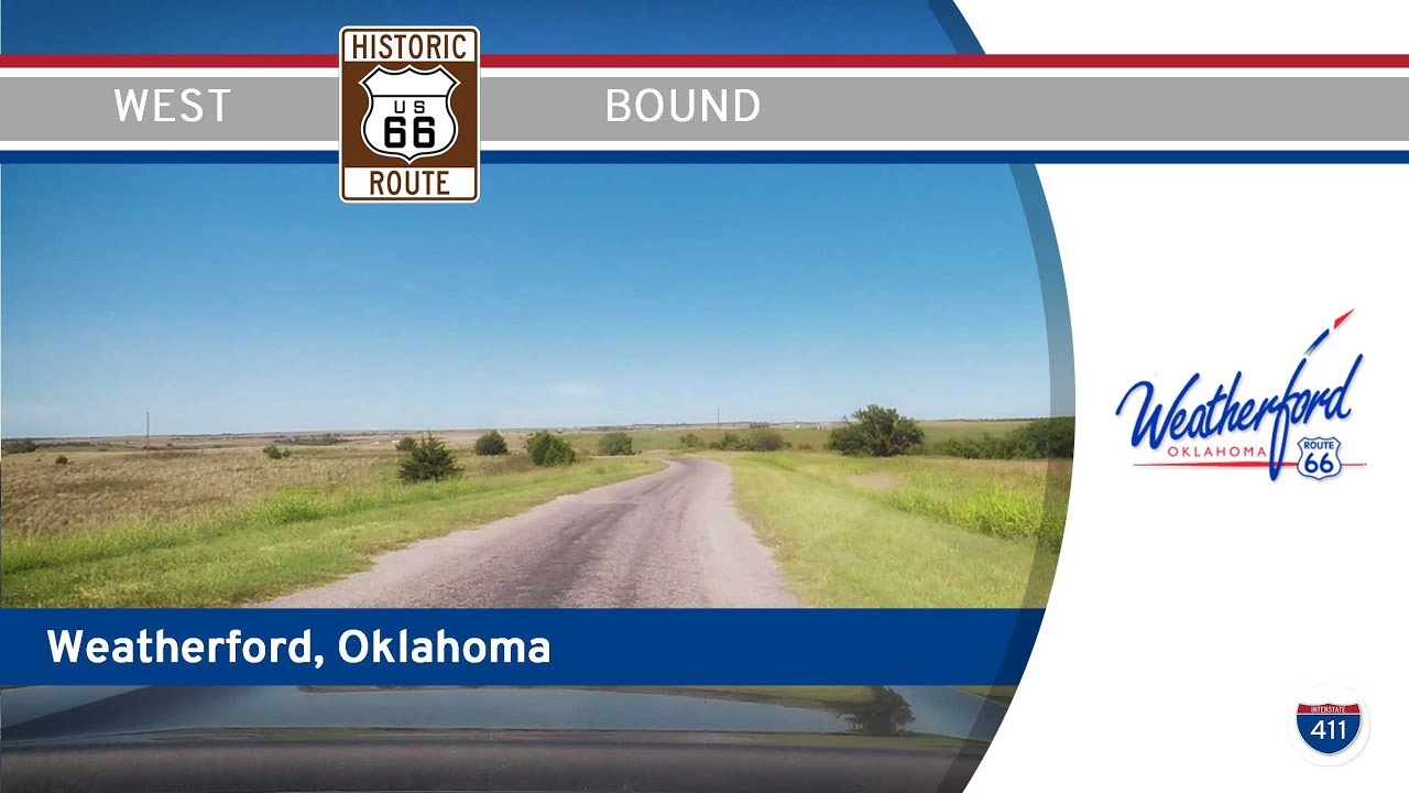
Drive America’s Highways for 17 miles west along historic Route 66 in Weatherford, from Hydro to just east of Clinton in Oklahoma.
We start the video on the historic mother road at Lucille’s Historic Highway Gas Station in Hydro. Driving west into Weatherford, we accidentally miss our turn on route 66 and drive a few extra blocks (cut from the video) , but we get back on Route 66 at the intersection with Washington Ave. From what we can tell, the part we missed is right next to I-40, so we didn’t miss much.
Moving on. We continue driving west on Route 66, leaving Weatherford at an intersection with Oklahoma Highway 54. Paralleling I-40 for 6 miles, we turn onto an old alignment of Rt 66 for 2.5 miles before turning back onto I-40, just east of Clinton, OK.


3:03 — Apropos
Lots of them along the mother road 🙂
at around 6:29 in the video, you stopped at a park. However, you never said what the park was? I understand that "Dead Woman's Crossing" was off your route. What was the park you stopped at?Where was the park on your drive.
Wind Energy Park in Weatherford perhaps?
https://www.google.com/maps/place/Custer+County+Veterans+Memorial/@35.5247889,-98.7132995,18.83z/data=!4m12!1m6!3m5!1s0x87ac268f9ea274e9:0xd4ed8dd791b3ac4d!2sWeatherford+Police+Department!8m2!3d35.5246532!4d-98.713664!3m4!1s0x87ac273a21f681ef:0x398a6068bc6ee618!8m2!3d35.5250337!4d-98.7131969