Take a relaxed drive along U.S. Route 64 from Morrilton to Conway, Arkansas. This 21-mile route passes through Plumerville and Menifee, showcasing small-town charm, farmland, and local history before arriving in Conway near Hendrix College and I-40.


The U.S. Numbered Highway System—often referred to as U.S. Routes or U.S. Highways—is a nationwide network of roads established in 1926 to improve long-distance automobile travel across the United States. Unlike the Interstate system, U.S. Highways predate freeways and often serve as main streets, scenic byways, or vital connectors through rural and urban communities alike. Many historic routes, including iconic roads like U.S. Route 66, trace their roots to this enduring network.
These highways use a grid system for numbering: odd-numbered routes run north–south, increasing from east to west, while even-numbered routes run east–west, increasing from north to south. Important cross-country highways typically end in “0” or “1” (like US 20 or US 1), and three-digit offshoots usually indicate spurs or loops branching from mainline routes.
Today, the U.S. Highway system continues to evolve—some segments have been decommissioned, realigned, or upgraded to freeways—but many routes remain essential for regional travel, trucking, and scenic exploration. This category explores the entire U.S. Numbered Highway network, from coast to coast and border to border.
Take a relaxed drive along U.S. Route 64 from Morrilton to Conway, Arkansas. This 21-mile route passes through Plumerville and Menifee, showcasing small-town charm, farmland, and local history before arriving in Conway near Hendrix College and I-40.

Take a scenic 26-mile drive along U.S. Route 64 from Russellville to Morrilton, Arkansas. This journey through Pottsville and Atkins highlights the Arkansas River Valley’s agricultural roots, small-town charm, and local roadside legends.

Take a drive back in time along the original U.S. Route 70 from Hot Springs to Benton, Arkansas. This 19-mile stretch—now a modern four-lane—was once a scenic, tree-lined two-lane road through the Ouachita foothills. Our video captures this now-lost alignment before its major upgrade.

Take a smooth 12-mile ride along the Dr. Martin Luther King Jr. Expressway in Hot Springs, Arkansas, as we follow U.S. Route 70 eastbound through the heart of this historic town’s modern bypass. Discover its junctions, landmarks, and purpose-built design.
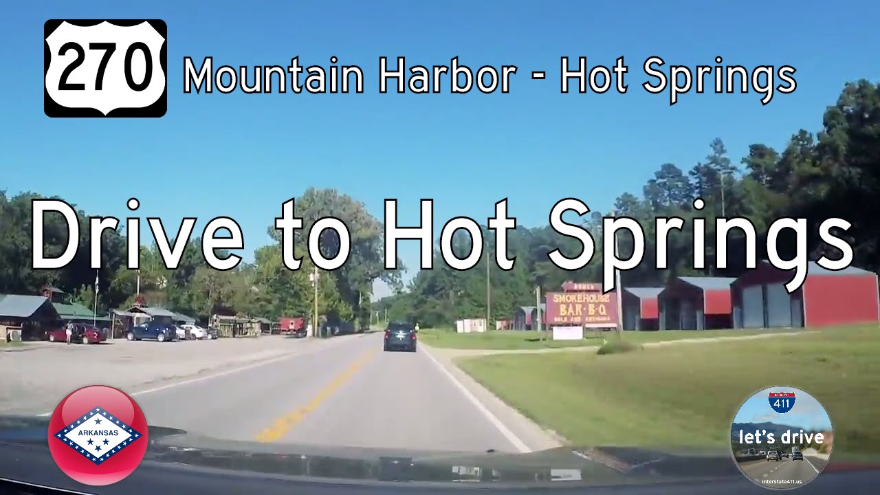
Take a scenic 21-mile journey east on U.S. Highway 270 from Mountain Harbor to Hot Springs, Arkansas, passing through Crystal Springs, Royal, and Lake Hamilton with forested views, rural charm, and lakeside communities.

Take a scenic drive west along U.S. Highway 270 from Hot Springs to Mountain Harbor Resort in Arkansas. This 21-mile route crosses Lake Hamilton and winds through Piney, Royal, and Crystal Springs into the Ouachita Mountains.

Explore the southern edge of Hot Springs, Arkansas, as we follow U.S. Route 70 westbound for 12 miles along the Dr. Martin Luther King Jr. Expressway. This efficient bypass connects key parts of the city and showcases the transition from urban bustle to wooded tranquility.

Travel west along a forgotten stretch of U.S. Route 70 from Benton to Hot Springs, Arkansas. This archival drive captures the two-lane highway before it was modernized into a four-lane corridor—offering a nostalgic look at rural Arkansas and the winding route once known to generations of travelers.

Take a scenic drive along U.S. Route 67 from Pocahontas to Walnut Ridge, Arkansas. This 13-mile journey reveals the transition from small-town roads to modern divided highway, with views of farmland, historic towns, and the roots of future I-57.

Take a 27-mile drive through northeast Arkansas along U.S. Route 62 from Corning to Pocahontas. Explore river towns, farmlands, and Delta history on this quiet but rewarding highway journey.

Take a short but vital drive down U.S. Route 67 from the Missouri State Line to Corning, Arkansas. Explore the agricultural landscape, regional infrastructure, and community connections that define this 7-mile stretch in Clay County.

Drive 22 miles south along U.S. Route 67 from Poplar Bluff, Missouri, to the Arkansas state line. Explore this fast, modern corridor through rural farmland and small towns like Neelyville on Missouri’s Bootheel.