State Highways

Explore America's diverse network of state highways—regional routes managed by individual states that connect towns, cities, parks, and scenic landscapes.

State highways form the backbone of regional travel across the United States, offering essential connections between cities, rural communities, and major national routes. Managed by individual state departments of transportation, these highways vary widely in scale—from narrow rural byways to multi-lane expressways rivaling interstates in traffic and speed. While numbering systems and signage conventions differ from state to state, each network plays a critical role in local mobility and economic development.

Unlike the federally designated Interstate and U.S. Highway systems, state highways are developed and maintained at the state level, giving them a unique character and flexibility. Some follow historic paths and scenic corridors, while others serve as modern commuter routes or urban spurs. Many are vital links to state parks, natural attractions, and lesser-known destinations that don't fall within the national systems.

On this site, we highlight a growing collection of notable state highways, organized by region and state. Whether you're tracing a scenic loop through the mountains, navigating a fast-moving corridor through a metro area, or exploring forgotten rural routes, our guides offer detailed overviews, and video journeys to help you plan your next adventure.

State Highway vs Route vs Road...

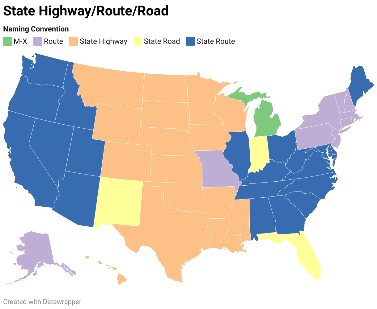
State Departments of Transportation use different terminology for their designated road systems, with some states using "state highway," others "state road," and still others "state route." These distinctions, though seemingly minor, often reflect historical and legislative traditions within each state. The choice of a particular term can be tied to the legal language used when the road network was first established or expanded. For example, a state might have initially defined its network as a "system of highways" for commerce and travel, while another may have focused on creating a "system of roads" for local and inter-city connections. The term "state route" is often a more modern designation that emphasizes a specific numbered path for navigation rather than the physical characteristics or purpose of the road itself. While the exact reasoning for each state's choice is complex and rooted in its unique history, the map on the right provides a visual guide to which term is used where.

Explore State Routes

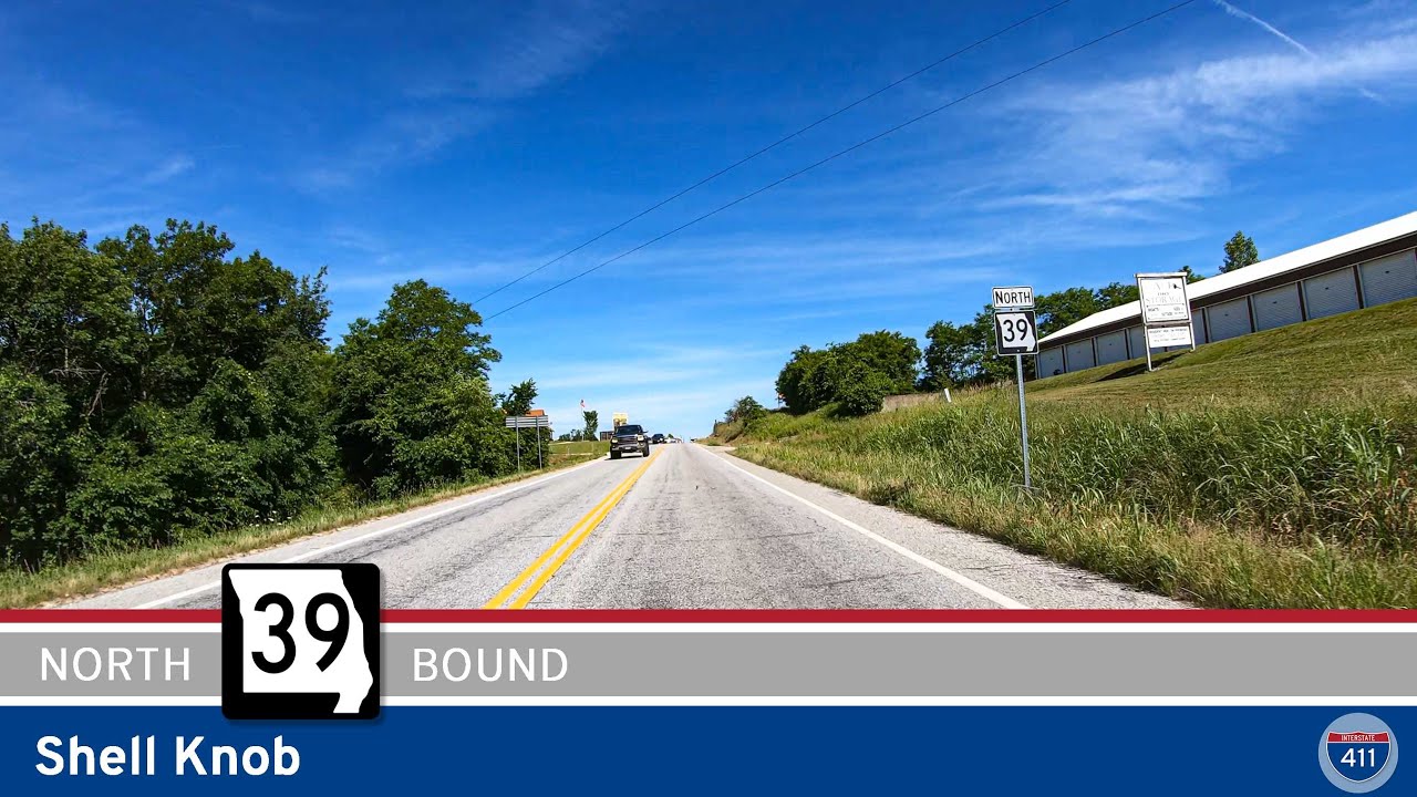
Missouri State Route 39:  Shell Knob

Missouri State Route 39: Shell Knob

Take a scenic drive along Missouri State Route 39 in Shell Knob, just north of Table Rock Lake. Explore lakeside parks, winding forest highways, and a beautiful scenic overlook in the Ozarks. Perfect for road trippers, nature lovers, and anyone craving classic Missouri views.

[Revisited] Missouri Route 86: Eagle Rock to Carr Lane

[Revisited] Missouri Route 86: Eagle Rock to Carr Lane

Take a scenic drive through Missouri’s Ozark foothills along Route 86 from Eagle Rock to Carr Lane. This 9-mile route features lake access, forested hills, a Kings River crossing, and easy connections to both local attractions and the Arkansas border. Perfect for road trippers, nature lovers, and anyone looking to explore the hidden gems of southwest Missouri.

Arkansas Highway 23: Eureka Springs to Eagle Rock Missouri

Arkansas Highway 23: Eureka Springs to Eagle Rock Missouri

Cruise Arkansas Highway 23 from Eureka Springs to Eagle Rock, Missouri—a 12-mile stretch through lush Ozark forests, Holiday Island’s lakeside hideaways, and scenic byways that end at the shores of Table Rock Lake. Perfect for anyone craving a short, scenic getaway.

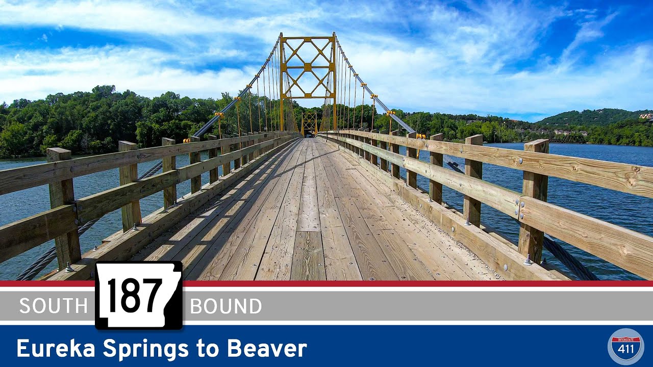
Arkansas Highway 187: Eureka Springs to Beaver

Arkansas Highway 187: Eureka Springs to Beaver

Take a quick yet unforgettable trip along Arkansas Highway 187 from Eureka Springs to Beaver, featuring mountain curves, lush Ozark forests, and the iconic one-lane Beaver Bridge. Whether you’re seeking a scenic detour, a photo op at the “Golden Gate of Arkansas,” or just a peaceful riverside escape, this route delivers classic Northwest Arkansas charm.

Missouri Supplemental Route E: Big M to Eagle Rock

Missouri Supplemental Route E: Big M to Eagle Rock

Cruise 5 miles along Missouri Supplemental Route E from Big M to Eagle Rock and discover the beauty of the Ozarks. This scenic route hugs Table Rock Lake, winds through the Mark Twain National Forest, and delivers peaceful rural charm all the way to Eagle Rock.

Missouri Supplemental Route M: Route 76 to Big M (Route E)

Missouri Supplemental Route M: Route 76 to Big M (Route E)

Experience the hidden beauty of the Ozarks on Missouri Supplemental Route M, a 6-mile scenic drive from Route 76 to the lakeside haven of Big M. Cruise through rolling farmland, shady forests, and classic creek valleys before arriving at Table Rock Lake’s Big M park—perfect for fishing, hiking, and lakeside relaxation. Ideal for anyone looking to escape the crowds and soak up authentic Missouri backroad charm.

Missouri Supplemental Route K: Chesapeake to Aurora

Missouri Supplemental Route K: Chesapeake to Aurora

Take a scenic 10-mile drive along Missouri Supplemental Route K from Chesapeake to Aurora. Explore rolling farmland, classic Ozark countryside, and small-town charm on this peaceful connector through Lawrence County.

Missouri Supplemental Route N: Spencer to Chesapeake

Missouri Supplemental Route N: Spencer to Chesapeake

Cruise Missouri Supplemental Route N from Spencer to Chesapeake for a 7-mile journey blending Route 66 nostalgia with classic Ozarks farmland. Explore historic alignments, rural landscapes, and roadside Americana along this short but scenic Missouri drive.

Historic Route 66:  Halltown to Spencer

Historic Route 66: Halltown to Spencer

Experience a mile of pure nostalgia on Historic Route 66 from Halltown to Spencer, Missouri. Starting at Gary’s Gay Parita gas station, this short but scenic drive crosses Turnback Creek and Paris Springs, ending at MO-96 near Spencer. Discover a living slice of the Mother Road’s history with vintage stops and peaceful Ozark scenery along a historic alignment of America’s most famous highway.

Arkansas Highway 393: Delaware to Delaware Park

Arkansas Highway 393: Delaware to Delaware Park

Experience a peaceful three-mile drive along Arkansas Highway 393 from Delaware to Delaware Park. Discover rural scenery, tranquil farmland, and a relaxing lakeside park perfect for fishing, picnics, and quiet afternoons by Lake Dardanelle.

Arkansas Highway 363: Atkins to Pottsville

Arkansas Highway 363: Atkins to Pottsville

Discover Arkansas Highway 363 from Atkins to Pottsville—a short but memorable drive up and over Crow Mountain, featuring tight switchbacks, scenic overlooks, and authentic rural Arkansas charm. Perfect for travelers looking to explore off-the-beaten-path state highways, enjoy local scenery, and experience the unique quirks of Arkansas’s road network.

Arkansas Highway 247: Hattieville to Atkins

Arkansas Highway 247: Hattieville to Atkins

Explore the quiet beauty of Conway County on Arkansas Highway 247, traveling 10 miles from Hattieville to Atkins. This scenic route passes through fertile farmland, the community of Economy, and crosses picturesque Point Remove Creek, ending just north of downtown Atkins. Ideal for a relaxed country drive with classic Arkansas scenery.