Missouri Routes

Watch Missouri Routes driving videos, including numbered highways and scenic roads through Branson, the Ozarks, and communities across the Show-Me State.

Missouri’s state highway system complements its Interstate and U.S. Highway corridors. Maintained by the Missouri Department of Transportation (MoDOT), numbered state routes and lettered supplemental routes connect cities, small towns, farms, and rural communities throughout the Show-Me State.

Missouri’s supplemental routes are particularly distinctive. Lettered highways such as Route D and Route JJ frequently provide local connections to larger roads, while numbered routes such as Route 5, Route 13, and Route 76 serve a variety of regional travel needs. Both systems are part of Missouri’s state-maintained road network; U.S. highways, including U.S. Route 36 across northern Missouri, carry a separate federal route designation.

From Ozark hills and winding valleys to broad northern farmland and the Mississippi River plain, Missouri’s routes offer a wide range of driving experiences. Open Road Archive documents these corridors with real driving videos through communities, countryside, and scenic regions across the state.

Tour Missouri Routes

Explore Missouri Route 125 from the Arkansas state line to Rueter in this scenic 11-mile drive through the Ozark hills. From the historic Peel Ferry to quiet forests near US-160, this peaceful rural route offers a glimpse into Missouri’s backroads charm.

Missouri Route 125: Arkansas to Rueter [Revisited]

Explore Missouri Route 125 from the Arkansas state line to Rueter in this scenic 11-mile drive through the Ozark hills. From the historic Peel Ferry to quiet forests near US-160, this peaceful rural route offers a glimpse into Missouri’s backroads charm.

Missouri Highway 266: Springfield to Halltown

Missouri Highway 266: Springfield to Halltown

Cruise 17 scenic miles along Missouri Highway 266 from Springfield to Halltown, following a historic alignment of Route 66. Discover antique shops, farmland views, and the famous Gay Parita Sinclair Station on this short but memorable stretch of road.

Missouri Route 86 – Cassville to Eagle Rock

Missouri Route 86 – Cassville to Eagle Rock

If you’re looking for an iconic Ozark drive that balances wooded solitude with classic lakeside charm, Missouri Route 86 from Cassville to Eagle Rock checks all the right boxes. This 13-mile stretch takes us from the small-town vibes of...

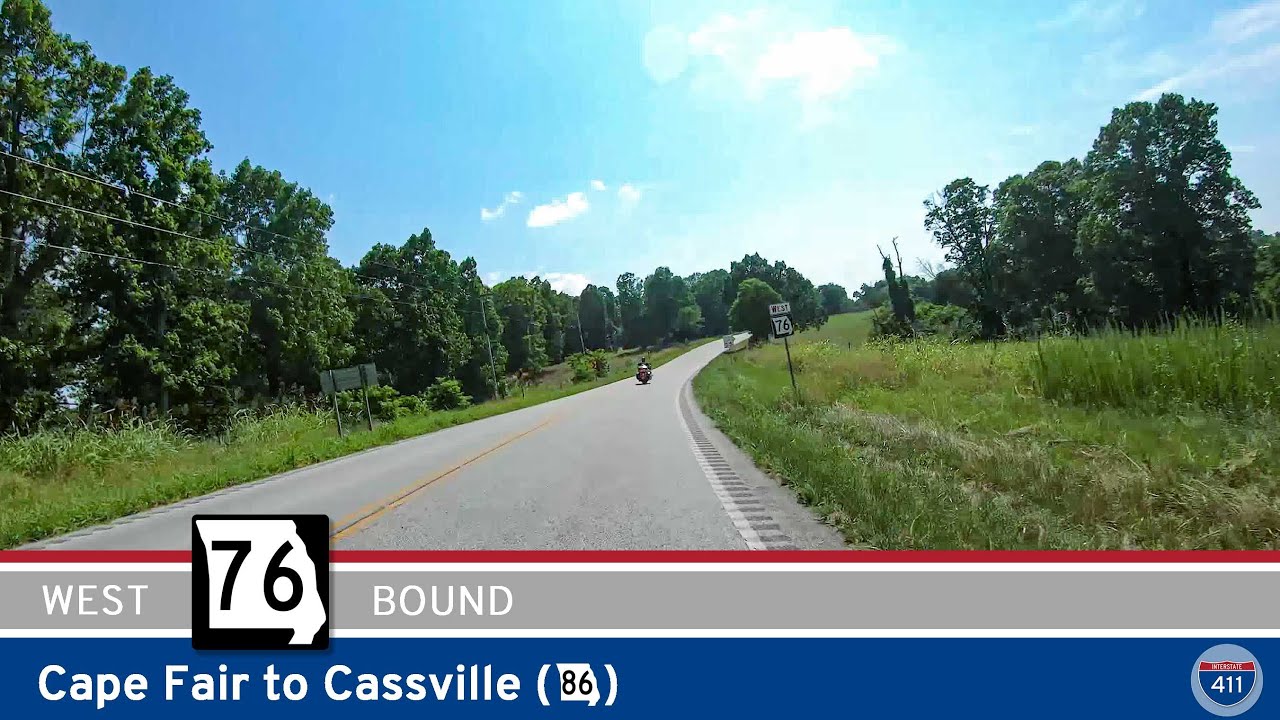
Missouri Route 76: Cape Fair to Cassville

Missouri Route 76: Cape Fair to Cassville

Take a 22-mile drive along Missouri Route 76 from Cape Fair to Cassville and experience classic Ozark scenery, lakeside views near Table Rock Lake, forested hills, and access to Roaring River State Park. Perfect for scenic drives, outdoor adventures, and exploring Missouri’s small towns.

Missouri Route 76: Reeds Spring to Cape Fair

Missouri Route 76: Reeds Spring to Cape Fair

Cruise 9 miles along Missouri Route 76 from Reeds Spring to Cape Fair, enjoying a true Ozarks experience with lake views, wooded hills, and classic small towns. Discover local cafés, scenic pull-offs at Table Rock Lake, and laid-back vibes in Cape Fair—perfect for anyone seeking a beautiful Missouri backroad adventure.

Missouri State Route 76: Cape Fair to Reeds Spring

Missouri State Route 76: Cape Fair to Reeds Spring

Drive Missouri State Route 76 for 9 scenic miles from Cape Fair to Reeds Spring, crossing Table Rock Lake and winding through the wooded hills of the Ozarks. Discover lakeside views, forested landscapes, and classic small-town Missouri charm on this quick but memorable stretch.

Missouri State Route 76: Shell Knob to Cape Fair

Missouri State Route 76: Shell Knob to Cape Fair

Take a scenic 13-mile drive along Missouri State Route 76 from Shell Knob to Cape Fair, winding through the heart of the Mark Twain National Forest and alongside beautiful Table Rock Lake. Experience classic Ozark scenery, lakeside charm, and peaceful forested stretches on this memorable Missouri backroad.

Missouri State Route 39: Carr Lane to Shell Knob

Missouri State Route 39: Carr Lane to Shell Knob

Take a scenic nine-mile drive along Missouri State Route 39 from Carr Lane to Shell Knob, winding through Ozark valleys, charming rural communities, and across the stunning Shell Knob bridge over Table Rock Lake. This route offers a perfect mix of forested hillsides, waterfront views, and small-town charm—ideal for your next Missouri road trip.

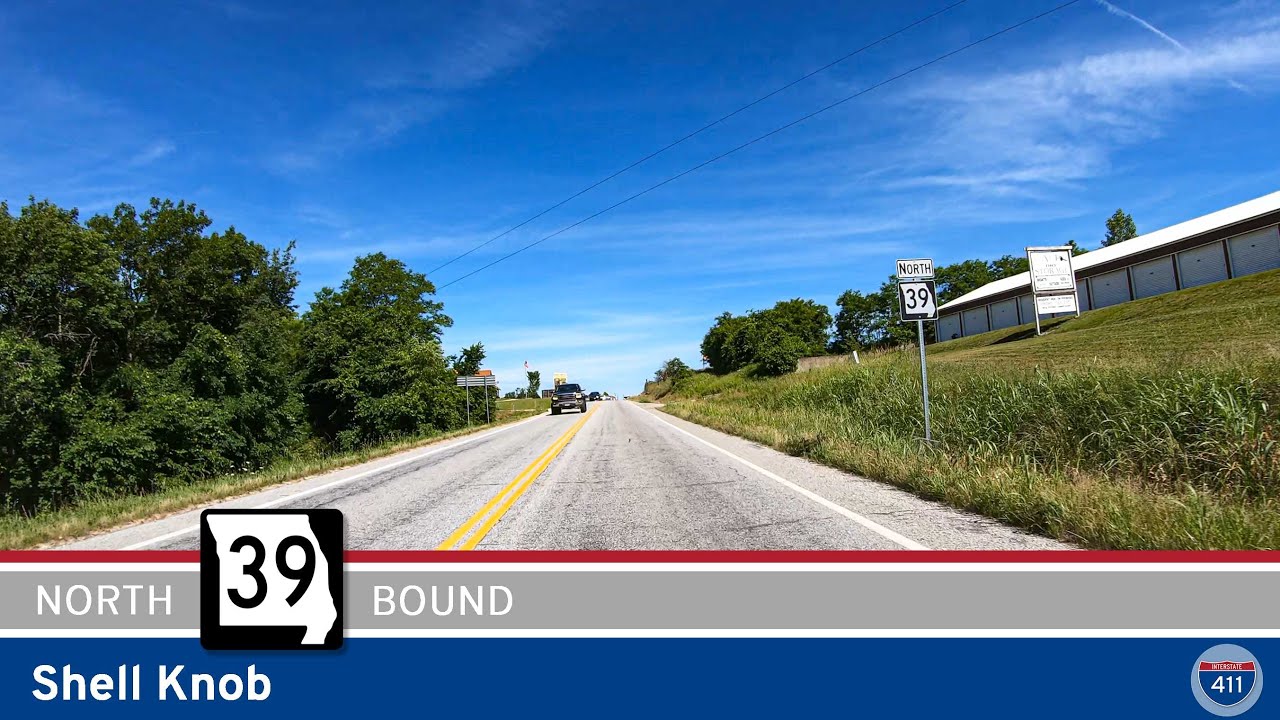
Missouri State Route 39:  Shell Knob

Missouri State Route 39: Shell Knob

Take a scenic drive along Missouri State Route 39 in Shell Knob, just north of Table Rock Lake. Explore lakeside parks, winding forest highways, and a beautiful scenic overlook in the Ozarks. Perfect for road trippers, nature lovers, and anyone craving classic Missouri views.

[Revisited] Missouri Route 86: Eagle Rock to Carr Lane

[Revisited] Missouri Route 86: Eagle Rock to Carr Lane

Take a scenic drive through Missouri’s Ozark foothills along Route 86 from Eagle Rock to Carr Lane. This 9-mile route features lake access, forested hills, a Kings River crossing, and easy connections to both local attractions and the Arkansas border. Perfect for road trippers, nature lovers, and anyone looking to explore the hidden gems of southwest Missouri.

Missouri Supplemental Route E: Big M to Eagle Rock

Missouri Supplemental Route E: Big M to Eagle Rock

Cruise 5 miles along Missouri Supplemental Route E from Big M to Eagle Rock and discover the beauty of the Ozarks. This scenic route hugs Table Rock Lake, winds through the Mark Twain National Forest, and delivers peaceful rural charm all the way to Eagle Rock.