Cruise 21 miles through southeast Arkansas on AR-35 from Monticello to Dermott. This peaceful two-lane route crosses the future path of I-69 and passes through Cominto and Baxter before arriving in historic Dermott.


Spanning more than 16,000 miles, the Arkansas State Highway System is a critical part of the state's transportation infrastructure, connecting rural towns, bustling cities, and natural landmarks across the Natural State. Established in 1924, the system includes hundreds of numbered routes maintained by the Arkansas Department of Transportation (ARDOT). From the delta flatlands to the peaks of the Ozark and Ouachita Mountains, these highways offer travelers a diverse and scenic journey through Arkansas's unique topography and cultural heritage.
Notable among the system are routes like Highway 7, which winds through the heart of the Ozarks and is designated as one of the most scenic byways in the country. Highway 10 provides access to the Ouachita Mountains and picturesque river valleys, while eastern routes like Highway 1 cut through fertile delta farmland rich in history and tradition. Many Arkansas state highways also serve as connectors to interstates and U.S. routes, forming a vital web of mobility for both commerce and tourism.
With hundreds of individual routes, each numbered state highway tells its own story. Whether you're exploring charming small towns, navigating forested hills, or tracing historic pathways, Arkansas's state highways provide more than just a way to get from point A to B—they invite you to discover the state's natural beauty, rural character, and welcoming communities one mile at a time.
Cruise 21 miles through southeast Arkansas on AR-35 from Monticello to Dermott. This peaceful two-lane route crosses the future path of I-69 and passes through Cominto and Baxter before arriving in historic Dermott.

Drive 19 miles through Arkansas’s Delta farmland along Highway 15 from England to Altheimer. Explore small towns like Tucker and Sherrill while following a route steeped in agricultural history and quiet scenic beauty.

Take a scenic 6-mile drive west on Arkansas Highway 285 from Woolly Hollow State Park to Greenbrier. This short but beautiful route winds through forested foothills and rural landscapes before reaching U.S. Highway 65 near Greenbrier.

Take a ride along Arkansas Highway 100 west from North Little Rock to Maumelle. Explore this suburban connector’s key intersections, new I-40 access, and gateway into one of Central Arkansas’s most well-planned communities.

Drive 5 miles along Arkansas Highway 100 from Maumelle to North Little Rock, passing suburban neighborhoods, key intersections like Counts Massie Road, and ending at I-430. A vital suburban connector in central Arkansas.

Explore Arkansas Highway 186 from Altus to Wiederkehr Village—a scenic 3-mile drive through Arkansas wine country. Pass historic vineyards, climb St. Mary’s Mountain, and visit one of the state’s oldest churches along the way.

Take a scenic 16-mile drive along Arkansas Highway 309 from Paris to Ozark, winding through farmland, forest, and the Mount Magazine Scenic Byway. A quiet and beautiful backroad drive in the Arkansas River Valley.

Drive 34 miles west on Arkansas Highway 22 from Dardanelle to Paris through lakeside views, farmland, and historic communities. Highlights include Shoal Bay, Subiaco Abbey, and access to Mount Magazine Scenic Byway.

Drive 7 miles north along Arkansas Highway 9 from Perryville to Oppelo, passing through the town of Perry and scenic farmland in the Arkansas River Valley before connecting to AR-154 toward Petit Jean State Park.

Take a scenic 21-mile drive west on Arkansas Highway 60 from Conway to Perryville. Cross the Arkansas River at Toad Suck, pass through farmland and small towns like Bigelow and Houston, and end in the foothills of the Ouachitas at Perryville.

Take a drive on the older alignment of Arkansas Highway 89 from Mayflower to Lollie in Faulkner County, Arkansas. This 4-mile video showcases a now-rerouted segment of the highway, offering a quiet, scenic journey past creeks, cemeteries, and Stone Lake before ending at the Arkansas River Trail near Rocky Gap Rd.
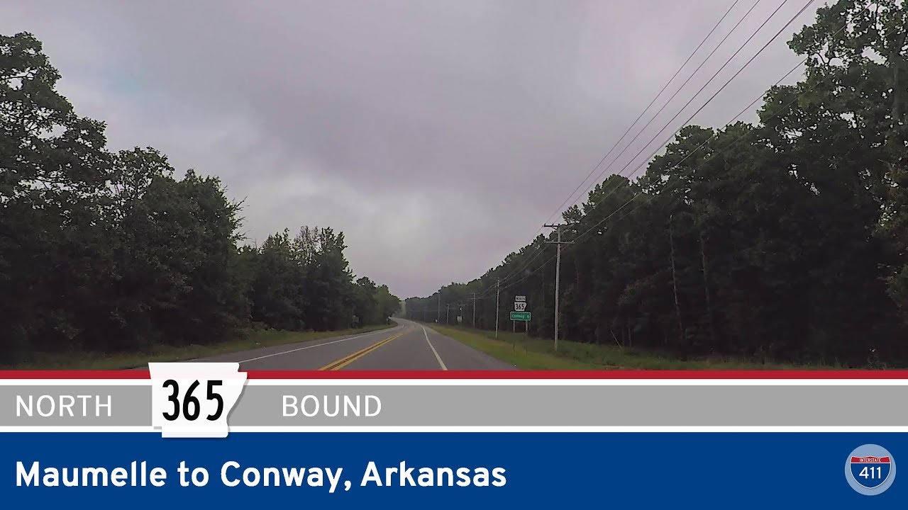
Take a relaxing drive along Arkansas Highway 365 from Maumelle to Conway. This 18-mile route winds past Lake Conway, through the heart of Mayflower, and into the college town of Conway, offering scenic views and small-town charm.