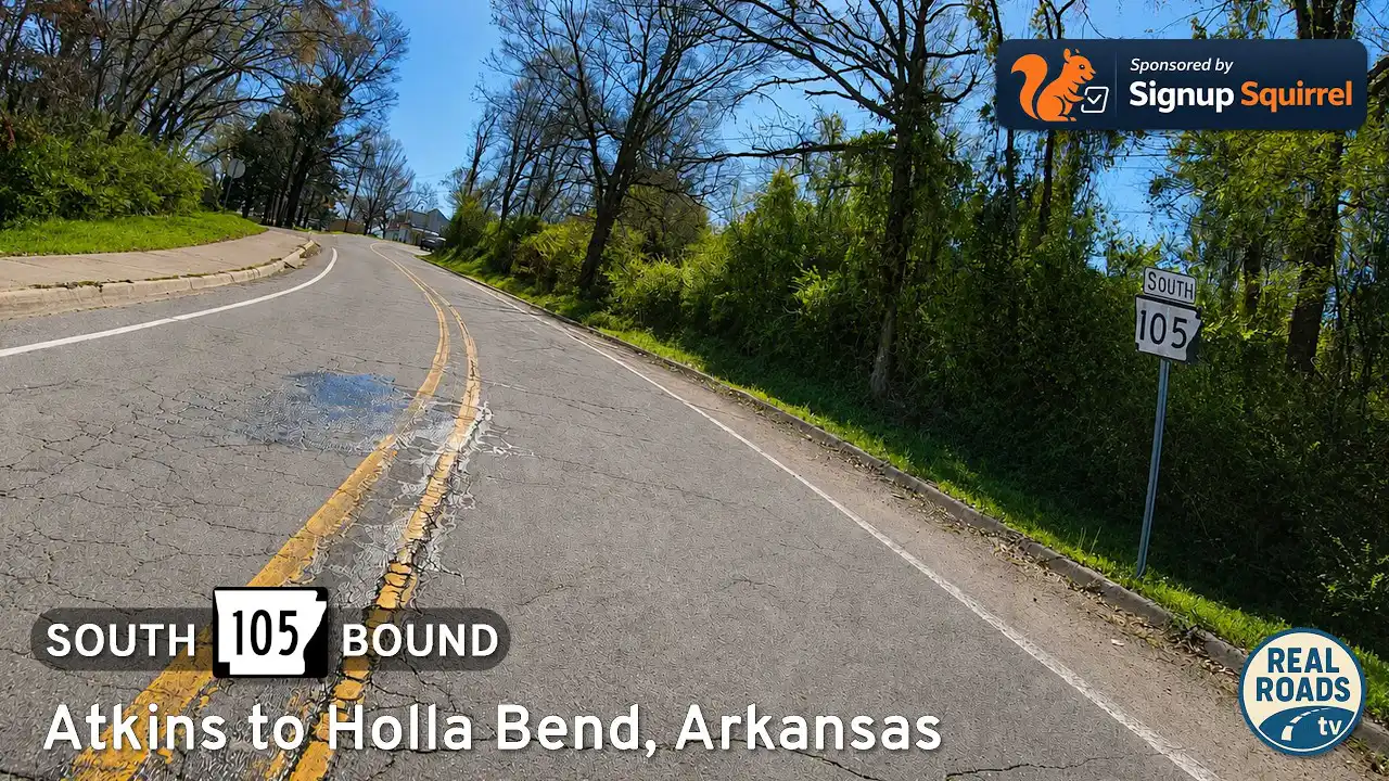
Drive Arkansas Highway 105 south from Atkins to Holla Bend and Sweeden Isle Recreation Area. Experience Arkansas River Valley farmland, wetlands, wildlife habitat, river-bottom scenery, and peaceful rural backroads in Pope County.

Spanning more than 16,000 miles, the Arkansas State Highway System is a critical part of the state's transportation infrastructure, connecting rural towns, bustling cities, and natural landmarks across the Natural State. Established in 1924, the system includes hundreds of numbered routes maintained by the Arkansas Department of Transportation (ARDOT). From the delta flatlands to the peaks of the Ozark and Ouachita Mountains, these highways offer travelers a diverse and scenic journey through Arkansas's unique topography and cultural heritage.
Notable among the system are routes like Highway 7, which winds through the heart of the Ozarks and is designated as one of the most scenic byways in the country. Highway 10 provides access to the Ouachita Mountains and picturesque river valleys, while eastern routes like Highway 1 cut through fertile delta farmland rich in history and tradition. Many Arkansas state highways also serve as connectors to interstates and U.S. routes, forming a vital web of mobility for both commerce and tourism.
With hundreds of individual routes, each numbered state highway tells its own story. Whether you're exploring charming small towns, navigating forested hills, or tracing historic pathways, Arkansas's state highways provide more than just a way to get from point A to B—they invite you to discover the state's natural beauty, rural character, and welcoming communities one mile at a time.
Drive Arkansas Highway 105 south from Atkins to Holla Bend and Sweeden Isle Recreation Area. Experience Arkansas River Valley farmland, wetlands, wildlife habitat, river-bottom scenery, and peaceful rural backroads in Pope County.

Drive west along Arkansas Highway 124 from Quitman to Damascus, Arkansas, through rolling farmland, wooded hills, rural valleys, and the scenic transition zone between central Arkansas and the Ozark foothills.

Drive Arkansas Highway 107 north from Enola to Quitman, Arkansas, through quiet farmland, wooded hills, rural crossroads, and small-town central Arkansas scenery.

Drive Arkansas Highway 319 west from Ward to Vilonia through the heart of central Arkansas farmland. This 15-mile route crosses rural White and Faulkner counties, showcasing open fields, growing communities, and the resilient spirit of Vilonia.

Drive Arkansas Highway 367 from Beebe to Ward, Arkansas, following a historic frontage-style corridor alongside Interstate 57 through White County farmland, growing suburbs, and small-town central Arkansas scenery.

Drive Arkansas Highway 31 south from Floyd to Beebe, Arkansas, on a quiet 10-mile rural route through White County farmland, small communities, and Delta-edge countryside.

Drive 8 miles along Arkansas Highway 229 from Traskwood to Haskell as pine woods give way to neighborhoods and a short US-67 concurrency guides you to I-30. A clear, chronological tour of road character, local context, and key junctions on AR-229.

Cruise 10 miles north on Arkansas Highway 229 from Poyen to Traskwood, passing pine plantations, hay fields, and quiet rural communities along a classic two-lane highway in south-central Arkansas.

A calm 11-mile drive on Arkansas Highway 229 from Leola to Poyen through timber country and small farms, ending at US-270. Gentle curves, pine stands, and small-town rhythms in the Ouachita foothills.
![Arkansas Highway 46: Sheridan to Leola [Revisited]](https://media.openroadarchive.com/file/ora-media/uploads/2025/10/kyk61mgzg1umaxresdefault.jpg)
A calm, first-person drive along Arkansas Highway 46 from Sheridan to Leola—through pine plantations and Saline River bottomlands—with a worthwhile side trip to Jenkins Ferry Battleground State Park. Route details, scenery notes, local context, and a map.
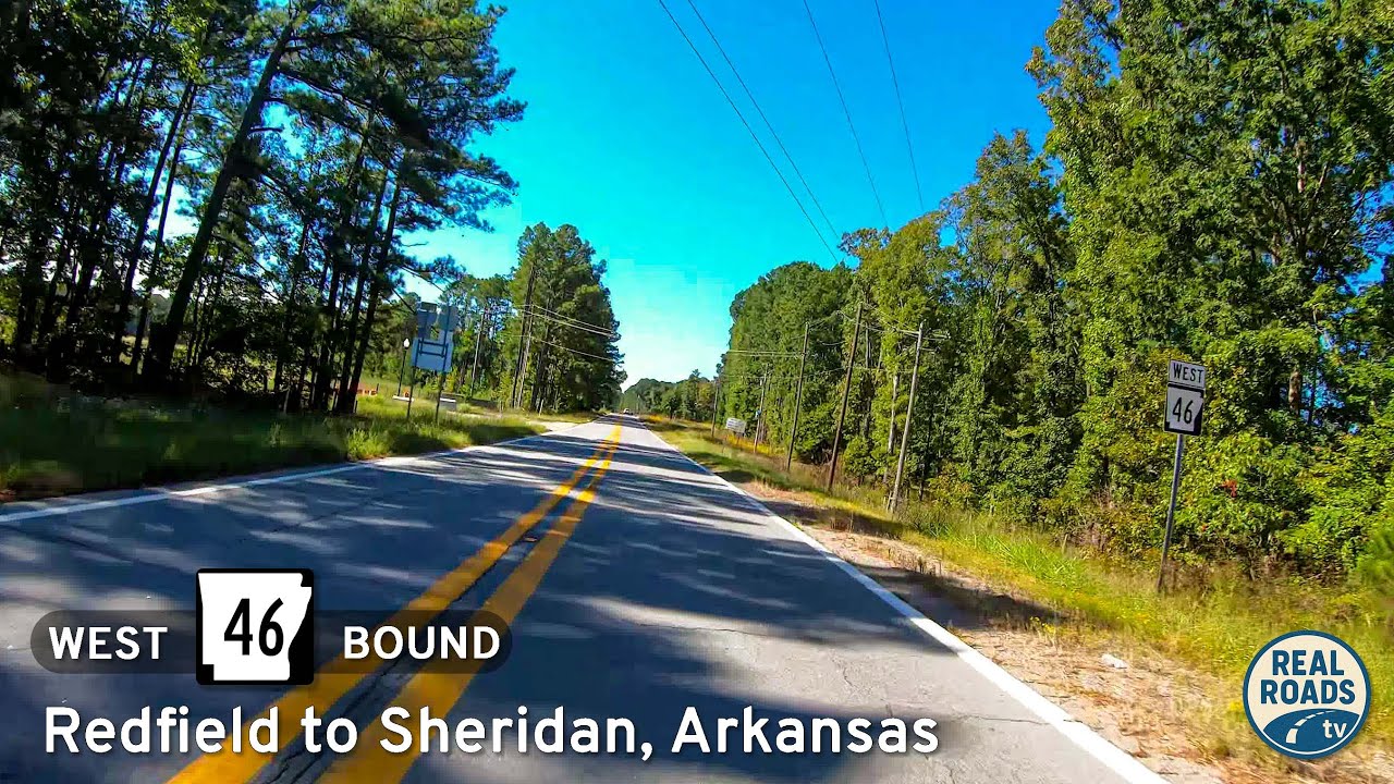
A first-person drive on Arkansas Highway 46 from Redfield to Sheridan: 16 miles of Piney Woods, gentle curves, rural homesteads, and a smooth two-lane connector between AR 365/I-530 and US 270—with local history and small-town context along the way.

A 31-mile Ozark-foothills drive on AR-25 from Heber Springs to Greenbrier—past hay fields, hardwood ridges, and small-town main streets—ending at US-65 with valley views.