Take a drive through Tennessee’s musical and historical heart along Interstate 40 from Jackson to Nashville. This 132-mile route passes battlefields, rivers, and rolling hills before entering the bustling streets of Music City.


The 🏙️ Urban Route tag is applied to highways and road segments that pass through major metropolitan areas or densely populated cities. These routes are characterized by busy traffic patterns, multi-lane interchanges, skyline views, and close proximity to residential, commercial, and industrial zones.
Urban routes often serve as vital connectors within a city’s infrastructure, linking downtown districts to suburbs, airports, or regional transit hubs. They may include elevated sections, tunnels, or complex junctions, and are frequently surrounded by signage, sound barriers, and city landmarks.
Take a drive through Tennessee’s musical and historical heart along Interstate 40 from Jackson to Nashville. This 132-mile route passes battlefields, rivers, and rolling hills before entering the bustling streets of Music City.

Take a relaxed drive along U.S. Route 64 from Morrilton to Conway, Arkansas. This 21-mile route passes through Plumerville and Menifee, showcasing small-town charm, farmland, and local history before arriving in Conway near Hendrix College and I-40.

Explore Arkansas Highway 7 in Russellville, Arkansas—a short 3.5-mile drive that connects neighborhoods, Arkansas Tech University, and historic downtown along a route rich in community character.

Take a scenic 26-mile drive along U.S. Route 64 from Russellville to Morrilton, Arkansas. This journey through Pottsville and Atkins highlights the Arkansas River Valley’s agricultural roots, small-town charm, and local roadside legends.

Take a scenic drive along Arkansas Highway 7 from Hot Springs to Jessieville, passing through Fountain Lake’s new roundabout, skirting Hot Springs Village, and ending at the historic Iron Springs Park in the Ouachita National Forest.

Take a drive through the heart of Hot Springs on Arkansas Highway 7 northbound, a scenic 12-mile route that passes Oaklawn Racing, historic Bathhouse Row, and the iconic Arlington Hotel inside Hot Springs National Park.

Take a 16-mile journey along Arkansas Highway 7 from Arkadelphia to Bismarck, passing Ouachita Baptist University, DeGray Lake Resort State Park, and the wooded beauty of Caddo Valley.

Follow Arkansas Highway 7 from Mt. Olive to Arkadelphia on a 14-mile journey through pine woods and rural junctions. See where AR-8 and AR-51 join the route and learn about recent highway realignments near Arkadelphia.
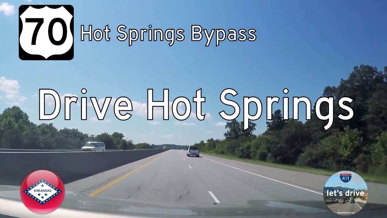
Take a smooth 12-mile ride along the Dr. Martin Luther King Jr. Expressway in Hot Springs, Arkansas, as we follow U.S. Route 70 eastbound through the heart of this historic town’s modern bypass. Discover its junctions, landmarks, and purpose-built design.

Take a scenic drive west along U.S. Highway 270 from Hot Springs to Mountain Harbor Resort in Arkansas. This 21-mile route crosses Lake Hamilton and winds through Piney, Royal, and Crystal Springs into the Ouachita Mountains.
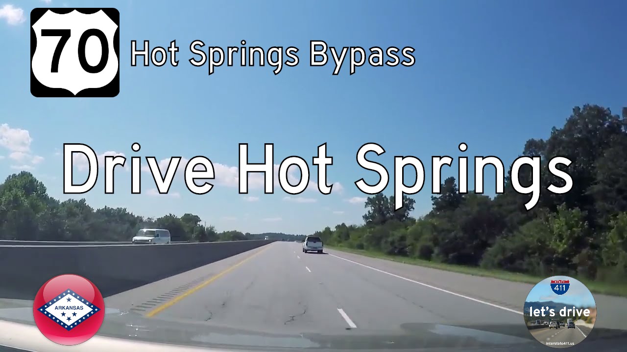
Explore the southern edge of Hot Springs, Arkansas, as we follow U.S. Route 70 westbound for 12 miles along the Dr. Martin Luther King Jr. Expressway. This efficient bypass connects key parts of the city and showcases the transition from urban bustle to wooded tranquility.

Take a suburban ride through the Dayton, Ohio metro as we drive Interstate 70 from Englewood to Huber Heights. This 15-mile route crosses the iconic I-70/I-75 interchange—known as the “Crossroads of America”—and ends at the junction with I-675 near Fairborn.