Travel 14 miles west along Arkansas Highway 10 in Little Rock, from downtownβs historic core through Riverdale, The Heights, Midtown, and into West Little Rock. Scenic views, city landmarks, and suburban growth all await along this key corridor.

The ποΈ Urban Route tag is applied to highways and road segments that pass through major metropolitan areas or densely populated cities. These routes are characterized by busy traffic patterns, multi-lane interchanges, skyline views, and close proximity to residential, commercial, and industrial zones.
Urban routes often serve as vital connectors within a cityβs infrastructure, linking downtown districts to suburbs, airports, or regional transit hubs. They may include elevated sections, tunnels, or complex junctions, and are frequently surrounded by signage, sound barriers, and city landmarks.

Travel 14 miles west along Arkansas Highway 10 in Little Rock, from downtownβs historic core through Riverdale, The Heights, Midtown, and into West Little Rock. Scenic views, city landmarks, and suburban growth all await along this key corridor.

Explore 14 miles of Arkansas Highway 10 eastbound through Little Rock, from scenic hilltop neighborhoods to the historic River Market District. This urban route blends natural beauty with city landmarks, tracing part of old U.S. Route 70.

Travel 22 miles north on U.S. Highway 165 from the Delta town of England to North Little Rock, passing through historic Keo and scenic farmland with access to Toltec Mounds and the Plantation Agriculture Museum. A smooth drive into the metro with glimpses of Arkansasβs rural heritage and urban edge.

Cruise through downtown Monticello, Arkansas, as we travel 3 miles west on U.S. Highway 278. From McCloy Street to Gaines Avenue and back to US-425, this short route offers a look at the city’s historic core and highway connections.

Take a 5-mile drive westbound on Interstate 64 through St. Louis, Missouri β from downtown’s trench highway to the cultural corridor of Forest Park and out to Brentwood Boulevard. Explore this vital urban stretch packed with landmarks, history, and commuter routes.

Take a short drive eastbound through Monticello, Arkansas, on U.S. Highway 278. Explore the townβs downtown charm, historic layout, and local businesses in just three scenic miles.

Cruise 27 miles south along U.S. Highway 425 from Pine Bluff to Star City through the heart of southeast Arkansas farmland. Discover rural communities, local history, and a scenic stretch of highway connecting key small towns in the region.

Drive 11 miles south along US-79 from Altheimer to Pine Bluff, Arkansas, crossing the Arkansas River and skirting farmland and industry before entering one of the Deltaβs key cities.

Drive both directions on Mississippi Highway 475 β Airport Road β through the heart of suburban Jackson, MS. This key connector serves the Jackson-Medgar Wiley Evers International Airport and links MS-468 to US-80 in Flowood.

Drive 3.5 miles along Mississippi Highway 25 (Lakeland Drive) from Jackson to Flowood, passing LeFleurβs Bluff State Park and crossing the Pearl River into a growing suburb full of shopping and dining.

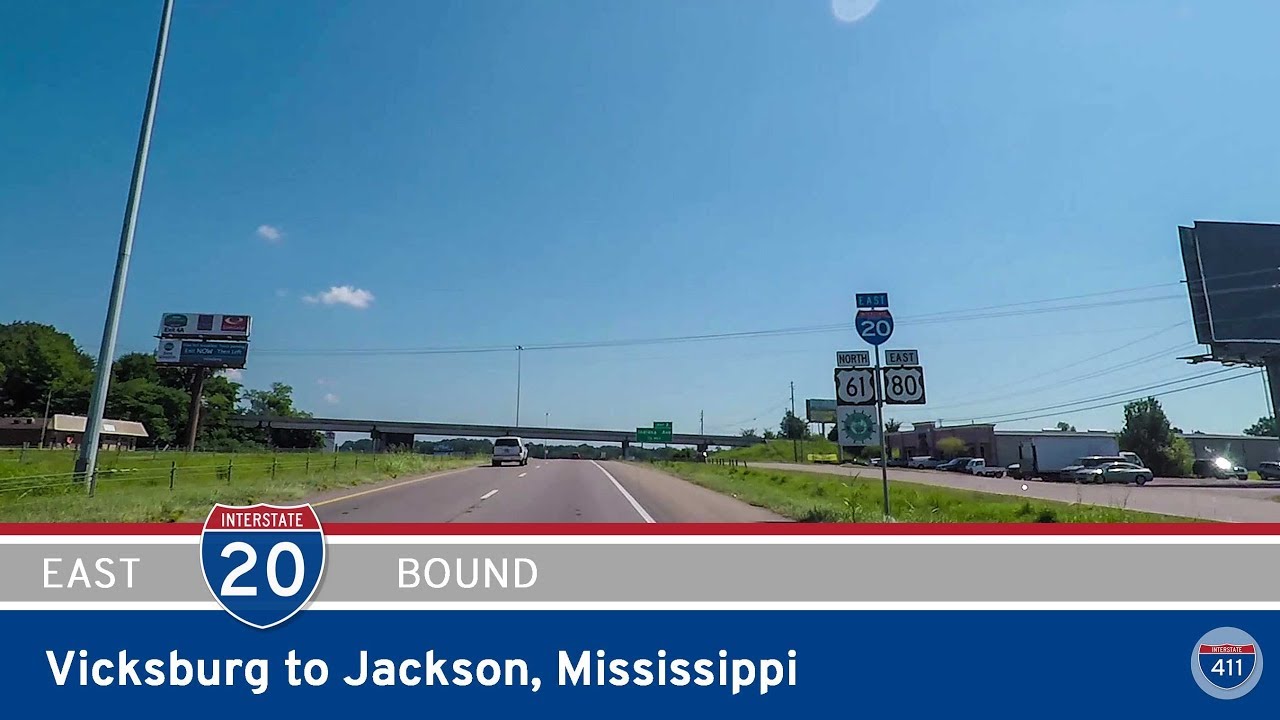
Cruise eastbound on Interstate 20 from Vicksburg to Jackson, Mississippi, covering 46 miles of river crossings, rolling hills, and historical connections. From the Mississippi River bridge to the heart of the capital city, this route blends scenic landscapes with deep Southern heritage.

Travel 46 miles south on Interstate 530 from Little Rock to Pine Bluff, Arkansas. This former U.S. 65 alignment serves as a key connector and bypass through forests, farmland, and small towns in central Arkansas.