Cruise east on Interstate 20 from the Alabama line into Atlanta, Georgia — passing small towns, state parks, Six Flags Over Georgia, and finishing with skyline views and city traffic at the heart of downtown.


The 🛣️ Scenic Route tag is reserved for highway segments known for their visual appeal and memorable landscapes. These are the drives that invite you to slow down, roll the windows down, and take it all in—whether you're surrounded by snow-capped mountains, winding through a canyon, hugging a coastal cliff, or coasting across rolling farmland. A route earns this tag not for its efficiency, but for its beauty, character, and ability to turn an ordinary trip into an experience.
Scenic routes vary widely in terrain and setting. In the Pacific Northwest, a scenic highway might weave through dense conifer forests with mist rising from the treetops. In the Southwest, it could mean miles of desert accented by red rock formations and wide-open skies. In the Midwest, a scenic road might stretch past prairie grasses and grain silos under an endless sky, while the East might feature tree-covered parkways that blaze with autumn color. Regardless of the region, a scenic tag indicates a road that offers something more than the usual commute—it delivers atmosphere and a sense of place.
These routes are often less direct than their bypass counterparts, with more curves, elevation changes, and natural features. They may pass through parks, along rivers, past historic landmarks, or into remote wilderness. While some scenic highways are part of official designations—like National Scenic Byways or state tourism trails—others earn the tag simply through reputation and traveler consensus. Many scenic routes also include well-placed overlooks, rest stops, or interpretive signs to help visitors fully appreciate the surroundings.
Cruise east on Interstate 20 from the Alabama line into Atlanta, Georgia — passing small towns, state parks, Six Flags Over Georgia, and finishing with skyline views and city traffic at the heart of downtown.

Drive 90 miles east on Interstate 20 from Birmingham, Alabama to the Georgia state line. This route takes you from Birmingham’s downtown flyovers through small towns, past the Talladega Superspeedway, and into the tranquil Talladega National Forest before crossing into Georgia.

Cruise 10 miles along Arkansas Highway 9 from Perryville to Williams Junction, winding through the wooded foothills of the Ouachita Mountains with river crossings, rural communities, and classic Arkansas scenery.

Explore Arkansas Highway 9 from Morrilton to Perryville—a 15-mile drive showcasing river crossings, farmland, and the rolling Ouachita Foothills. Perfect for a quick scenic escape through the heart of central Arkansas.

Cruise north for 10 miles along Arkansas Highway 59 from Barling to Van Buren, crossing the Arkansas River on the James W. Trimble Lock & Dam, passing riverside parks, and finishing in the historic heart of Van Buren.
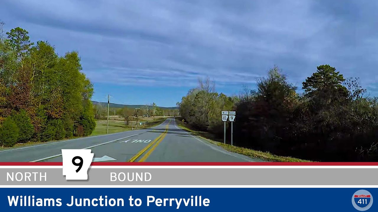
Take a relaxing 10-mile drive along Arkansas Highway 9 from Williams Junction to Perryville. Wind through the Ouachita foothills, cross the scenic Fouche La Fave River, and arrive in the friendly heart of Perry County, Arkansas.

Experience the winding hills and small-town charm of Arkansas Highway 10 from Williams Junction to Perry. This 14-mile drive through the Ouachita foothills offers peaceful forests, a quiet river crossing, and easy access to local outdoor spots like Lake Sylvia.

Cruise 19 miles west along Arkansas Highway 10 from west Little Rock to Williams Junction. Enjoy peaceful drives beside Lake Maumelle, forested foothills, and connections to local recreation near the Ouachita Mountains.

Experience the rugged beauty of Arkansas Highway 103 as it winds 13 miles south from Oark through the heart of the Ozarks to the rural community of Harmony near Clarksville. A short but scenic drive with switchbacks, forest canopies, and open farmland views.

Drive 7 miles north on Arkansas Highway 219 from Ozark to Mountain Top through the scenic foothills of the Boston Mountains. Discover rolling forests, rural charm, and quiet backroad beauty in northwest Arkansas.

Discover Arkansas Highway 74 in Winslow — a short, scenic drive through the Boston Mountains, featuring tight switchbacks, forested hillsides, and easy access to Interstate 49.

Cruise 19 miles south on U.S. Highway 71 from Fayetteville to Winslow, Arkansas, weaving through small towns, river valleys, and the rolling Boston Mountains. Enjoy forested scenery, local landmarks like Drake Field, and a taste of Ozark backroads along this classic scenic highway.