Cruise 10 miles north on Arkansas Highway 229 from Poyen to Traskwood, passing pine plantations, hay fields, and quiet rural communities along a classic two-lane highway in south-central Arkansas.


The 🌲 Forest tag highlights routes that pass through densely wooded areas, national forests, or timber-rich landscapes. These drives are often characterized by towering trees, shaded corridors, and a sense of immersion in nature. Whether it’s a winding mountain road lined with evergreens or a backcountry highway flanked by deciduous woods, the forested environment defines the scenery.
These routes are especially vibrant in autumn, when foliage changes color, or in the spring and summer, when greenery is at its peak. Wildlife sightings, hiking trail access, and picnic areas are common features along many forest-tagged segments.
Cruise 10 miles north on Arkansas Highway 229 from Poyen to Traskwood, passing pine plantations, hay fields, and quiet rural communities along a classic two-lane highway in south-central Arkansas.

A calm 11-mile drive on Arkansas Highway 229 from Leola to Poyen through timber country and small farms, ending at US-270. Gentle curves, pine stands, and small-town rhythms in the Ouachita foothills.

Drive Interstate 40 from Nashville to Knoxville and experience 187 miles of rolling hills, Cumberland Plateau vistas, and classic Tennessee scenery. Follow this detailed route narrative for landmarks, terrain changes, and what to expect along the way.
![Arkansas Highway 46: Sheridan to Leola [Revisited]](https://media.openroadarchive.com/file/ora-media/uploads/2025/10/kyk61mgzg1umaxresdefault.jpg)
A calm, first-person drive along Arkansas Highway 46 from Sheridan to Leola—through pine plantations and Saline River bottomlands—with a worthwhile side trip to Jenkins Ferry Battleground State Park. Route details, scenery notes, local context, and a map.
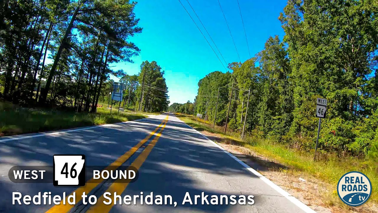
A first-person drive on Arkansas Highway 46 from Redfield to Sheridan: 16 miles of Piney Woods, gentle curves, rural homesteads, and a smooth two-lane connector between AR 365/I-530 and US 270—with local history and small-town context along the way.

A 31-mile Ozark-foothills drive on AR-25 from Heber Springs to Greenbrier—past hay fields, hardwood ridges, and small-town main streets—ending at US-65 with valley views.

Cruise Arkansas Highway 16 from Greers Ferry to Heber Springs—a 22-mile lake-to-town drive of wooded ridgelines, fleeting Greers Ferry Lake views, and a welcoming finish near the Little Red River. Highlights include Devils Fork Recreation Area, Heber Springs’ trout-rich tailwater, and a smooth two-lane rhythm ideal for an unhurried pace.

Drive 22 scenic miles on Arkansas Highway 16 from US-65 in Clinton to Devils Fork Recreation Area at Greers Ferry Lake. Follow a first-person travelogue through Ozark ridges, pine-hardwood forest, and lake-view curves—with local tips and an interactive map.

Drive 24 miles on Arkansas Highway 95 from the AR-124 junction south of Cleveland to US-65B in Clinton. Enjoy Ozark-foothill scenery, rolling ridges, creek crossings, and rural communities on a smooth, two-lane route through Conway and Van Buren counties.

Cruise west along Arkansas Highway 124 from Center Ridge to Cleveland — a peaceful 11-mile drive through the wooded hills and farmland of Conway County, Arkansas, showcasing the timeless beauty of rural Ozark foothills.

Cruise five scenic miles along County Road 9 from Bono to Springfield, Arkansas. Experience Conway County’s blend of farmland, forest, and rolling Ozark foothills on this tranquil rural backroad connecting AR-285 and AR-92.

Experience a peaceful 4.6-mile drive along Burkett Flat Road from Greenbrier to Bono, Arkansas. This quiet rural route passes farmland, wooded ridges, and rolling hills in Faulkner County, offering a glimpse of authentic Arkansas countryside.