Drive west along Interstate 40 from McLean to Groom, Texas, and experience classic Panhandle prairie scenery, wide-open skies, and lingering Route 66 character on this short but iconic stretch of highway.


The 🌾 Farmland tag identifies routes that pass through active agricultural areas, where fields, silos, barns, and tractors are common sights. These roads often wind through rural communities and showcase the day-to-day life of America’s working landscapes—whether it's rows of corn, wheat, soybeans, or pastureland dotted with livestock.
Travelers on farmland-tagged routes can expect a slower pace and a direct look at the country’s agricultural backbone. These drives frequently intersect with small towns, local markets, and seasonal roadside stands offering fresh produce or handmade goods.
Drive west along Interstate 40 from McLean to Groom, Texas, and experience classic Panhandle prairie scenery, wide-open skies, and lingering Route 66 character on this short but iconic stretch of highway.

Drive east along Interstate 64 from Mt. Vernon to Grayville, Illinois, on a 52-mile journey through open farmland and quiet southern Illinois countryside. This rural interstate segment highlights wide-open landscapes, long sightlines, and the steady rhythm of long-distance travel approaching the Indiana state line.

Drive west along Interstate 40 from Shamrock to McLean, Texas, and experience a short but character-filled Texas Panhandle segment shaped by open prairie, steady winds, and the lasting influence of historic Route 66.
![Interstate 57: Cairo to Mt. Vernon ~ Illinois [Revisited]](https://media.openroadarchive.com/file/ora-media/uploads/2026/01/wg13hzhqi68maxresdefault.jpg)
Drive 92 miles north along Interstate 57 from Cairo to Mt. Vernon, Illinois, traveling from river lowlands to rolling farmland. This quiet southern Illinois interstate segment offers open views, smooth pavement, and a steady Midwestern driving experience connecting rural communities with a major regional crossroads.

Drive west along Interstate 40 from Elk City, Oklahoma, to Shamrock, Texas on a classic High Plains stretch shaped by open land, long sightlines, and the lasting influence of historic Route 66.

Drive northbound on Interstate 57 from Sikeston, Missouri to Cairo, Illinois, following a 22-mile stretch through the Bootheel’s flat farmland and open skies as the highway approaches the Mississippi and Ohio River region.

Drive west along Interstate 40 from Clinton to Elk City, Oklahoma, and experience a classic stretch of western Plains highway. This 23-mile segment highlights wide-open landscapes, long sightlines, and the steady rhythm of one of America’s most important east–west interstates.

Drive east on U.S. Route 60 from Poplar Bluff to Sikeston, Missouri, covering 51 miles of a modernized highway corridor built to near-Interstate standards and forming part of the future I-57 alignment across southeast Missouri.

Drive northbound on U.S. Route 67 from Neelyville to Poplar Bluff, Missouri. This 16-mile segment features a two-lane highway alongside I-57 construction, a four-lane transition at U.S. 160, and a major directional split with U.S. Route 60.

Drive west along Interstate Forty from Shawnee to Oklahoma City in this twenty sixteen snapshot of central Oklahoma’s primary east–west corridor, capturing the route before the Kickapoo Turnpike reshaped regional traffic patterns.
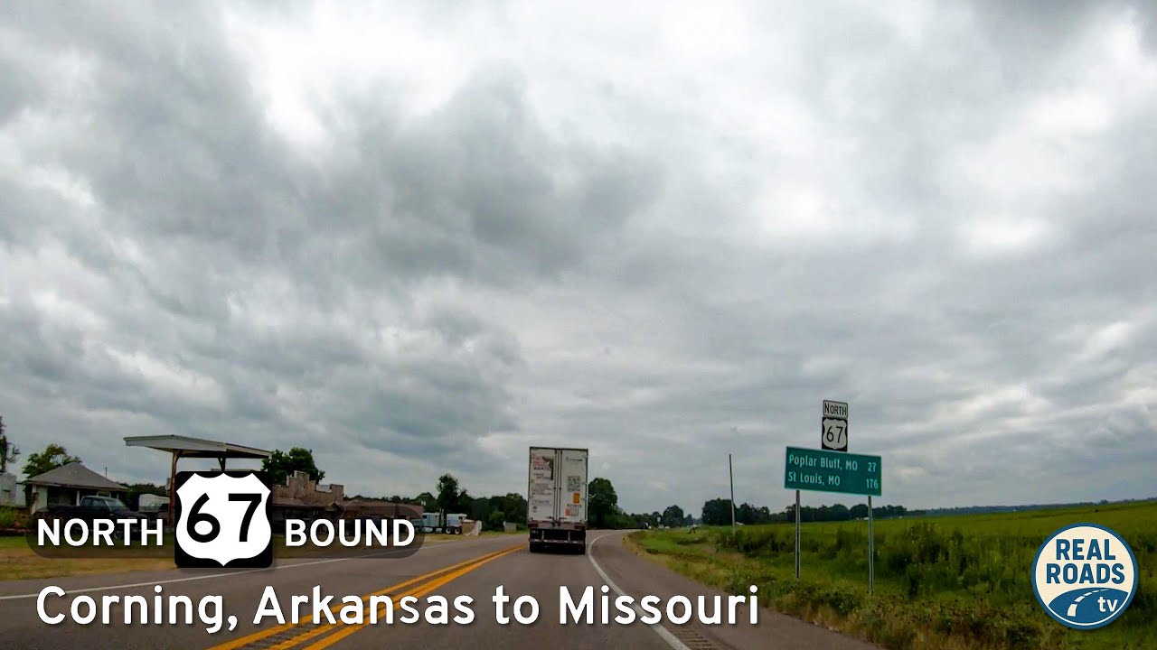
Drive north on U.S. Route 67 from Corning, Arkansas to the Missouri state line. This short Delta corridor transitions from small-town edges to open farmland, offering a calm, uninterrupted look at northeastern Arkansas’s agricultural landscape and regional highway connections.

Experience a 27-mile drive along U.S. Route 67 from Pocahontas to Corning, Arkansas—passing farmland, river woodlands, and small-town landmarks on one of northeast Arkansas’s classic rural corridors.