Drive 29 miles along Interstate 71 from downtown Cincinnati across the Brent Spence Bridge into northern Kentucky. Pass through Covington, Florence, and Erlanger before meeting I-75 near Walton as the landscape shifts from urban to rural.

The 🌾 Farmland tag identifies routes that pass through active agricultural areas, where fields, silos, barns, and tractors are common sights. These roads often wind through rural communities and showcase the day-to-day life of America’s working landscapes—whether it's rows of corn, wheat, soybeans, or pastureland dotted with livestock.
Travelers on farmland-tagged routes can expect a slower pace and a direct look at the country’s agricultural backbone. These drives frequently intersect with small towns, local markets, and seasonal roadside stands offering fresh produce or handmade goods.

Drive 29 miles along Interstate 71 from downtown Cincinnati across the Brent Spence Bridge into northern Kentucky. Pass through Covington, Florence, and Erlanger before meeting I-75 near Walton as the landscape shifts from urban to rural.

Drive 44 miles along newly designated Interstate 57 from North Little Rock to Searcy, Arkansas, passing through suburbs, air base access, farmland, and small towns along the historic alignment of U.S. 67. Includes interchanges with I-40, AR-440, and US-64.

Explore Arkansas Highway 186 from Altus to Wiederkehr Village—a scenic 3-mile drive through Arkansas wine country. Pass historic vineyards, climb St. Mary’s Mountain, and visit one of the state’s oldest churches along the way.

Take a scenic 16-mile drive along Arkansas Highway 309 from Paris to Ozark, winding through farmland, forest, and the Mount Magazine Scenic Byway. A quiet and beautiful backroad drive in the Arkansas River Valley.

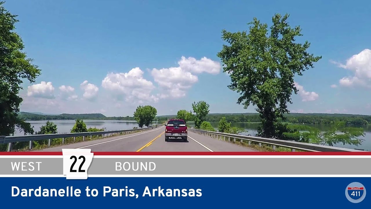
Drive 34 miles west on Arkansas Highway 22 from Dardanelle to Paris through lakeside views, farmland, and historic communities. Highlights include Shoal Bay, Subiaco Abbey, and access to Mount Magazine Scenic Byway.

Take a scenic 13-mile drive along Arkansas Highway 154 from the farmlands of Oppelo to the heart of Petit Jean State Park. Climb the switchbacks of Petit Jean Mountain, enjoy sweeping views, and explore historic landmarks like Stouts Point, the Museum of Automobiles, and Mather Lodge.

Drive 7 miles north along Arkansas Highway 9 from Perryville to Oppelo, passing through the town of Perry and scenic farmland in the Arkansas River Valley before connecting to AR-154 toward Petit Jean State Park.

Take a scenic 21-mile drive west on Arkansas Highway 60 from Conway to Perryville. Cross the Arkansas River at Toad Suck, pass through farmland and small towns like Bigelow and Houston, and end in the foothills of the Ouachitas at Perryville.

Take a scenic drive along the Arkansas River Trail in Faulkner County, Arkansas, following Rocky Gap Rd, Old Military Rd, and McNutt Rd from rural Mayflower to Conway. Discover quiet farmland, wooded hillsides, and a glimpse of the region’s historic routes.

Take a drive on the older alignment of Arkansas Highway 89 from Mayflower to Lollie in Faulkner County, Arkansas. This 4-mile video showcases a now-rerouted segment of the highway, offering a quiet, scenic journey past creeks, cemeteries, and Stone Lake before ending at the Arkansas River Trail near Rocky Gap Rd.

Take a relaxing drive along Arkansas Highway 365 from Maumelle to Conway. This 18-mile route winds past Lake Conway, through the heart of Mayflower, and into the college town of Conway, offering scenic views and small-town charm.

Explore a 23-mile drive along U.S. Highway 69 from Fort Scott to Franklin, Kansas. This route through southeast Kansas bypasses Arma and crosses former coal country, blending scenic farmland with rich mining history.