Drive Tennessee Route 690 around Union City, a 10.6-mile bypass connecting US-51 and forming part of the future Interstate 69 corridor. Experience flat farmland, open landscapes, and a modern roadway designed for tomorrow’s traffic.


The 🌾 Farmland tag identifies routes that pass through active agricultural areas, where fields, silos, barns, and tractors are common sights. These roads often wind through rural communities and showcase the day-to-day life of America’s working landscapes—whether it's rows of corn, wheat, soybeans, or pastureland dotted with livestock.
Travelers on farmland-tagged routes can expect a slower pace and a direct look at the country’s agricultural backbone. These drives frequently intersect with small towns, local markets, and seasonal roadside stands offering fresh produce or handmade goods.
Drive Tennessee Route 690 around Union City, a 10.6-mile bypass connecting US-51 and forming part of the future Interstate 69 corridor. Experience flat farmland, open landscapes, and a modern roadway designed for tomorrow’s traffic.

Drive 95 miles along Interstate 71 from Cincinnati to Louisville, Kentucky, following a scenic route through northern Kentucky’s rolling hills, farmland, and Outer Bluegrass landscape.
![[Revisited] Interstate 75: Dayton to Cincinnati, Ohio](https://media.openroadarchive.com/file/ora-media/uploads/2026/03/oukqs84qbtwmaxresdefault.webp)
Drive Interstate 75 from Dayton to Cincinnati, Ohio, covering 63 miles of busy urban freeway, suburban growth, and key Midwest infrastructure. Experience one of Ohio’s most important transportation corridors connecting aviation history, industry, and river city landscapes.

Drive Interstate 75 from Toledo to Dayton, Ohio, a 152-mile journey through northwest Ohio farmland, historic canal towns like Wapakoneta and Sidney, and major Midwest cities shaped by aviation and industry.

Drive 11 miles south on Interstate 75 from Monroe, Michigan to the Ohio state line toward Toledo. This short interstate segment crosses the flat Lake Erie plain, connecting southeastern Michigan farmland with the busy Toledo metropolitan corridor along one of America’s most important north–south highways.

Drive Interstate 69 from Indianapolis to Alexandria, Indiana, covering 50 miles of urban-to-rural transition through Hamilton and Madison counties, ending at the Pipe Creek Rest Area.

Drive 52 miles west on Interstate 40 from Tucumcari to Santa Rosa, New Mexico, across wide-open High Plains, historic Route 66 alignments, sandstone mesas, and the Pecos River valley. Experience classic eastern New Mexico landscapes and roadside history along this scenic stretch of I-40.

Drive north on Interstate 69 from Bloomington to Indianapolis, Indiana. This 48-mile journey transitions from wooded southern Indiana hills and farmland near Martinsville into the growing suburbs and urban core of Indianapolis, showcasing one of Indiana’s newest interstate corridors.
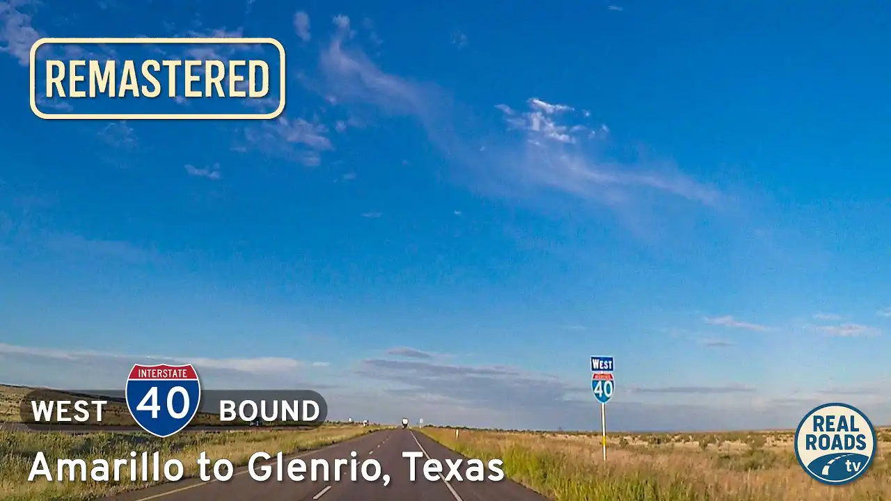
Drive west on Interstate 40 from Amarillo to Glenrio, Texas, beginning before dawn through construction near Loop 335 and continuing into a wide-open Panhandle sunrise. This 66-mile journey follows the historic Route 66 corridor past Vega and into Glenrio at the Texas–New Mexico state line.

Drive north on Interstate 69 from Elberfeld to Bloomington, Indiana, following a modern 93-mile corridor that transitions from quiet southwestern farmland into the wooded hills of south-central Indiana.

Drive west along Interstate 40 from Groom to Amarillo, Texas, as open Panhandle prairie gradually gives way to the industrial and urban edge of a classic High Plains city.

Drive east along Interstate 64 from the Illinois–Indiana state line to Elberfeld, Indiana, and experience a quiet transition into southern Indiana’s wooded lowlands and rural farmland. This 29-mile stretch offers a calm, scenic look at an essential interstate corridor connecting regional and long-distance travel routes.