Drive the Old Dixie Highway from Dayton to Moraine, Ohio, following former U.S. 25 through historic neighborhoods and the industrial Miami Valley.


The Midwest is the crossroads of America—a region where long, open highways meet friendly towns, rolling farmland, and Great Lakes shorelines. Covering Iowa, Missouri, Illinois, Indiana, Ohio, Minnesota, Wisconsin, and Michigan, the Midwest offers a rich blend of rural charm, industrial heritage, and natural beauty. Whether you're navigating the wide cornfields of Iowa or hugging the rocky shores of Lake Superior, the region’s roads are built for exploration.
This is where iconic byways like Historic Route 66 and the Great River Road converge with scenic loops around glacial lakes and wooded hills. In places like southern Missouri and northern Wisconsin, the terrain becomes unexpectedly dramatic—filled with bluffs, rivers, and forested stretches. Meanwhile, cities like Chicago, Minneapolis, St. Louis, and Cleveland serve as vibrant urban hubs offering cultural detours, architectural wonders, and food scenes worth the stop.
From Michigan’s winding coastal routes and ferry-linked peninsulas to Ohio’s Amish country and Indiana’s covered bridge trails, the Midwest is full of surprises. It’s a region best experienced slowly, with the windows down and a cooler in the backseat. These are the roads that define the heartland—and they’re ready for your next great American drive.
Drive the Old Dixie Highway from Dayton to Moraine, Ohio, following former U.S. 25 through historic neighborhoods and the industrial Miami Valley.

Drive U.S. Route 35 from Beavercreek to Dayton, Ohio, traveling 6 miles west from I-675 through Riverside to I-75 near downtown.
![U.S. Route 35: Dayton to Beavercreek, Ohio [Revisited]](https://media.openroadarchive.com/file/ora-media/uploads/2026/08/oemvzunbezgmaxresdefault.jpg)
Drive U.S. Route 35 from Dayton to Beavercreek, Ohio, traveling 11 miles from I-75 through urban Dayton, I-675, North Fairfield Road, and Orchard Lane.

Drive west along Third Street in Dayton, Ohio, from Smithville Road to Patterson Boulevard through East Dayton, historic industrial blocks, and downtown.
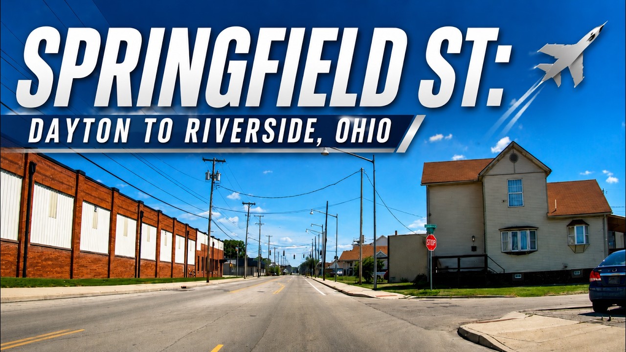
Drive Springfield Street from Dayton to Riverside, Ohio, on this 3.4-mile real-time journey ending at the National Museum of the United States Air Force on historic Wright Field. Experience Dayton neighborhoods, local history, and the birthplace of military aviation.

Drive south on historic Dixie Drive from Vandalia to downtown Dayton, Ohio, following the former U.S. Route 25 and legendary Dixie Highway past classic roadside businesses, established neighborhoods, and one of western Ohio’s most important historic transportation corridors.
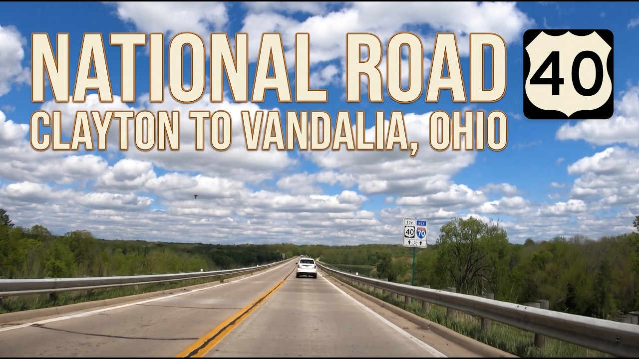
Drive east along U.S. Route 40 (National Road) from Clayton to Vandalia, Ohio, on a 9-mile real-time drive through Englewood and northern Dayton. Follow one of America’s oldest highways past suburban communities, Interstate 70, and the historic crossroads with Dixie Drive.

Drive Main Street and Historic U.S. Route 40 from Union to Clayton, Ohio, on this 3.9-mile real-time drive through Union, Englewood, and Clayton along two of Montgomery County’s most important historic highways.

Drive Ohio State Route 48 from downtown Dayton to Englewood along Main Street, crossing the Great Miami River and northern Montgomery County.

Drive Interstate 70 from Indianapolis to Richmond, Indiana, through downtown interchanges, central Indiana farmland, historic towns, and the Ohio state line.

Travel Interstate 70 from Terre Haute to Indianapolis, Indiana, on a 77-mile real-time drive through farmland, small towns, Plainfield, and the western Indianapolis metro.

Drive Interstate 70 from St. Louis to Effingham, Illinois, crossing the Mississippi River and traveling through the Metro East, Greenville, Vandalia, Altamont, and southern Illinois farmland.