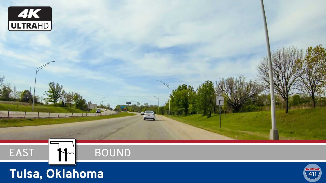
If you’ve spent any time driving around Tulsa, you know that Oklahoma Highway 11 is more than just a short east-west shortcut—it’s an essential link for everyone from daily commuters to travelers jetting off at Tulsa International Airport. Heading eastbound, OK-11 gives us a quick yet surprisingly dynamic look at the northern reaches of Tulsa, moving seamlessly from city interchanges to airport access, with the city’s evolving landscape rolling by our windows.
We start our eastbound journey at the busy interchange with U.S. Route 75, just north of Tulsa’s downtown core. Almost immediately, Highway 11 transforms from a city street into a well-kept, multi-lane expressway, signaling its role as a major connector for Tulsa’s northern neighborhoods. The highway is wide and modern, with clear signage and smooth pavement—always a welcome sight whether you’re on your daily commute or navigating Tulsa for the first time. Early on, you’ll catch glimpses of residential communities and commercial areas tucked just beyond the sound barriers, a reminder that life in Tulsa is always in motion, even a few lanes over from the expressway.
One of the main draws of this route is its direct access to Tulsa International Airport. About halfway along our five-mile stretch, Highway 11 veers slightly north and delivers us right to the main airport entrance. This is a crucial feature for the region, as it gives travelers and locals alike a fast, hassle-free path to their flights. If you’re not rushing to catch a plane, it’s still worth noting the view—airport runways, hangars, and support buildings stretch out along the north side, offering an up-close look at Tulsa’s busiest transportation hub. For aviation enthusiasts or anyone who appreciates a bit of behind-the-scenes infrastructure, this is a cool peek at how the city keeps moving.
As we continue east, Highway 11 passes several more interchanges with local roads, making it easy for drivers to drop into nearby neighborhoods, business parks, or shopping centers. While the scenery leans practical rather than picturesque, there’s an energy to this corridor—a sense of constant movement, whether it’s travelers on their way to the airport, freight traffic heading to the interstates, or local residents making their daily rounds. On clear days, keep an eye out for the Tulsa skyline to the south, especially if you’re cruising just before sunset when the buildings catch the light. There’s also a handful of parks and green spaces scattered near the route, like Maxwell Park, which offer a small slice of Tulsa’s community life if you venture just a few blocks away.
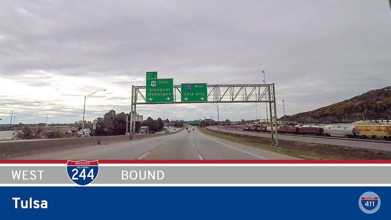
The final leg of the journey brings us to the interchange with Interstate 244. This is a significant endpoint—not just because it marks the end of OK-11, but because it connects us straight into Tulsa’s broader interstate web. From here, you can easily transition east toward Catoosa and the historic Route 66 corridor, head south into downtown Tulsa, or even keep moving west toward Sand Springs and beyond. For anyone interested in the logistics and design of city roadways, it’s clear that OK-11 plays a strategic role in how Tulsa moves people and goods efficiently, bridging city streets with regional and national routes.
Although Oklahoma Highway 11 isn’t packed with tourist attractions or scenic vistas, it’s a classic example of urban infrastructure done right. It’s straightforward, convenient, and built with both the local community and through travelers in mind. Whether you’re heading to a flight, exploring Tulsa’s north side, or just passing through, this stretch of highway keeps things moving—and if you pay attention, you’ll spot the subtle rhythms of life in one of Oklahoma’s biggest cities.


0 Comments